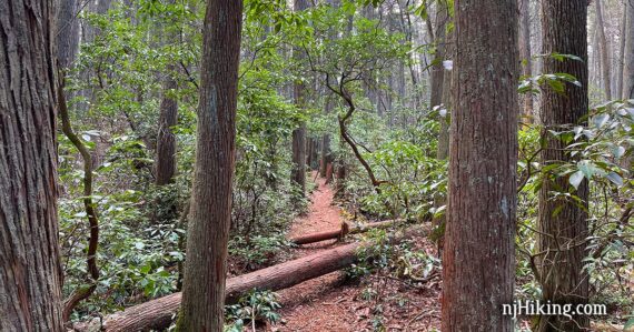
Hike a historic route through stands of beautiful Atlantic white cedar and mountain laurel.
7.4 or 5.0 or 4.0 miles, total round trip. Easy, flat, dirt, sand and pine needles with rooty sections. Many boardwalks/bridges. Barely any elevation change.
| 7.4 miles | This hike guide: Detailed instructions and photos follow below. |
| Shorter | 5.0 – Sand & Water, out-and-back on 1808 to Buttonwood, Batona; noted below. 4.0 – Sand & Water, out-and-back on 1808 to sign, Batona; noted below. 1.8 – Sand & Water + Batona; noted below. |
| Add-on | Stroll through the interesting historical village and buildings of Batsto adds 1 or 2 miles depending on how much you wander around. |
| Longer | Multiple trails from Batsto lot to extend, and the Batona Trail is 53+ miles! |
| Same parking lot | Batsto Lake Trail and Tom’s Pond Trail. |
| Nearby | Wharton State Forest – Atsion to Quaker Bridge Loop; Bass River State Forest; Edwin B. Forsythe NWR. |
Our two cents:
Interesting, beautiful, and fun route that winds through a cedar swamp and lots of mountain laurel before looping back on the Batona Trail.
The full route is nice but the stand outs are Sand and Water Trail and the 1808 Trail, so the shorter 4.0 or 5.0 versions pack the more interesting bits into manageable mileage.
The Batona Trail winds through a beautiful pine forest but is very uniform. This can be easy and relaxing, even meditative… or it utterly dull and monotonous depending on your mood or tastes in hikes.
Hike Info:
Map/Books:
Print out one of the maps or pick up one in the visitor center or the large trail kiosk in front of it. Follow along on your smartphone with our Interactive Map link above.
This route is also in Best Day Hikes in New Jersey.
Parking: N39 38.719 W74 38.809
31 Batsto Road, Hammonton, NJ 08037. Note: While this is the address, Google etc might try to direct you to the canoe access lot and to a non-drivable road through the village instead of the actual entrance on Batsto Road. The entrance should have a park sign and flags.
Large paved parking lot for Batsto Village. Park closer to the visitor center as the trailhead is the field next to the visitor center. Detailed directions can be found on batstovillage.org.
Just after entering the driveway, on the right, take note of the location of the Sand & Water trailhead at a break in the fence. You’ll be walking across the field to here from the parking lot.
Fee: Charged from Memorial to Labor day. Info on the NJ State Park Pass.
Restrooms:
Inside the visitor center (open 9 – 4pm). On the right side of the visitor center are bathrooms accessed from outside; unsure if these are ever open outside of visitor center hours.
Outhouse at Buttonwood Camp, 2.8 miles into the hike.
Refreshments:
Restaurants and three breweries are about 15 minutes away in the town of Hammonton… which is also known as the “blueberry capital of the world” so be sure to pick up a pint (or 12…) if they’re in season.
Hike Directions:
Overview: ORANGE (Sand and Water) – 1808 (GREEN) – BLUE (Buttonwood Camp Connector) – PINK (Batona) – BLUE/WHITE
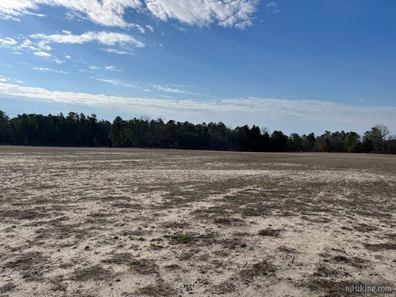
0.0 – Facing the Visitor Center, walk around the LEFT side to the field. Walk diagonally across the field towards the stand of trees.
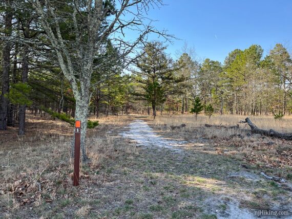
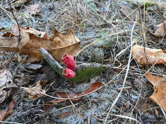
When nearing the edge of the trees, watch for a brown trail post with an ORANGE blaze to start following ORANGE (Sand and Water). Look down to spot cactus plants dotted along the sandy trail.
Cactus Fun Facts: In the time it takes for you to comment “hunh, cactus in New Jersey?” come upon a trail sign explaining that prickly pear cactus are native and sprout flowers in June and fruit in July.
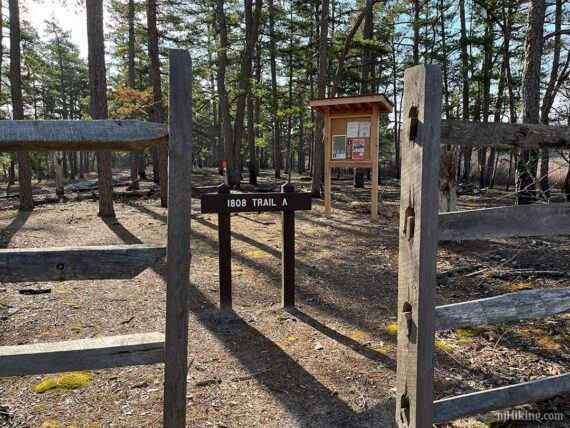
Walk through the break in the fence and cross the park road to an 1808 trail sign and a wooden trail kiosk. (This is still ORANGE (Sand and Water), the little arrow indicates that the 1808 Trail is reached in this direction).
For just a brief bit the sandy trail is bulldozed as a fire break, and some trees are burnt at their base.
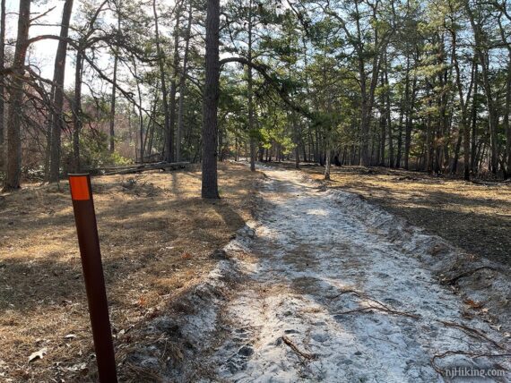
ORANGE (Sand and Water) then veers to the LEFT away from the wide sand path and becomes a regular trail. The surface varies from sandy to dirt with very exposed roots and utilizes a variety of wooden bridges.
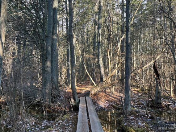
These bridges lets you meander through an Atlantic white cedar swamp. The mostly narrow trail twists and turns through this dense stand of trees.
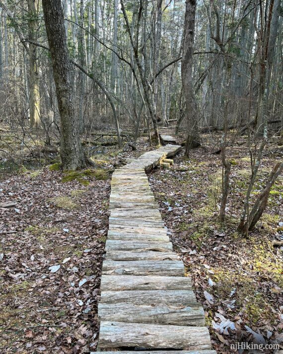
1.1 – Come to an intersection with trail signs. Turn RIGHT to now follow 1808 (GREEN). [ORANGE (Sand and Water) continues to the left.]
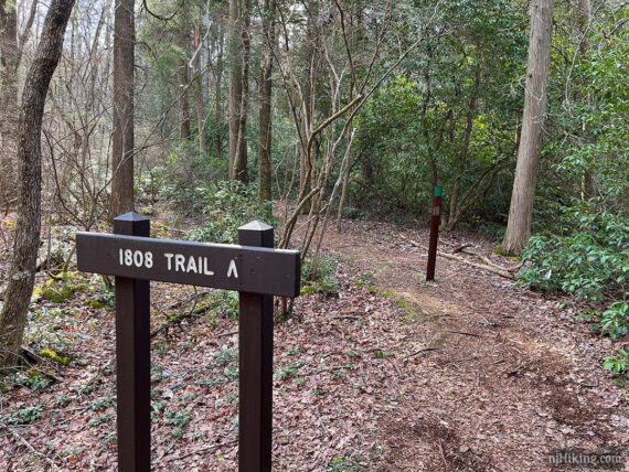
// Shorter version, 1.8 miles total: Instead, turn LEFT and follow ORANGE (Sand and Water) towards Batsto. Turn LEFT on Batona (PINK). Turn LEFT on BLUE/WHITE. //
Originally created over 200 years ago, the 1808 Trail follows the route of a logging road that ran from Batsto Village to Crowleytown (now the Buttonwood Campground) through Mordecai Swamp [Source: Park web site].
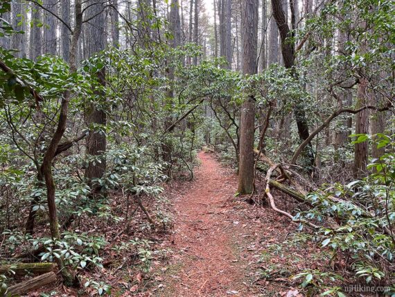
This area has abundant mountain laurel. These plants can tower over the trail and create long dense tunnels. Hike in late May or early June to possibly catch them in bloom.
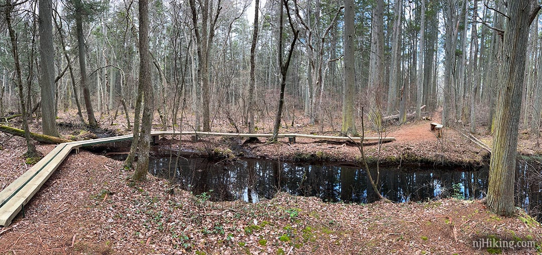
2.1 – Bench and a long curved footbridge to cross a stream. Unsure if there was a specific reason to do it this way, but we’re always in favor of fancy footbridges. Wide shot looking back after crossing it:
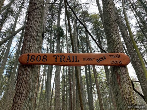
2.3 – Another bench and a large 1808 trail sign noting that the Outdoor Club of South Jersey Trail Crew built the trail in 2022.
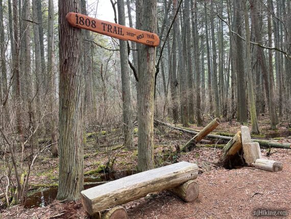
From here the 0.5 mile of trail to Buttonwood Camp is nice but not quite as interesting as the hike up until now. So… if you were planning to turn around at the camp anyway, you can start back from here instead for a 4.0 mile total hike – same return instructions as the 5.0 variation below.
2.8 – 1808 (GREEN) starts to approach closer to the road and ends at Buttonwood Camp.
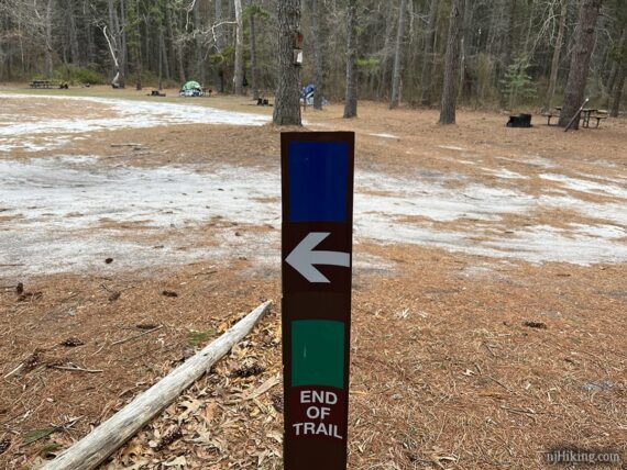
Turn LEFT and walk through the camp, now following BLUE (Buttonwood Camp Connector). There are picnics tables for a break, and just past the camp is a rustic outhouse.
// Shorter version, 5.0 miles total: Instead, turn around at Buttonwood Camp and retrace 1808 (GREEN) back. Turn RIGHT towards Batsto on ORANGE (Sand and Water). Turn LEFT on Batona (PINK). Turn LEFT on BLUE/WHITE. //
Continue following BLUE (Buttonwood Camp Connector). Pass a section with deep rutted damage from a vehicle.
Evidence of a fire becomes obvious, with trees charred several feet up their trunks. Note that the burnt trees are only on one side – the fire didn’t jump the trail.
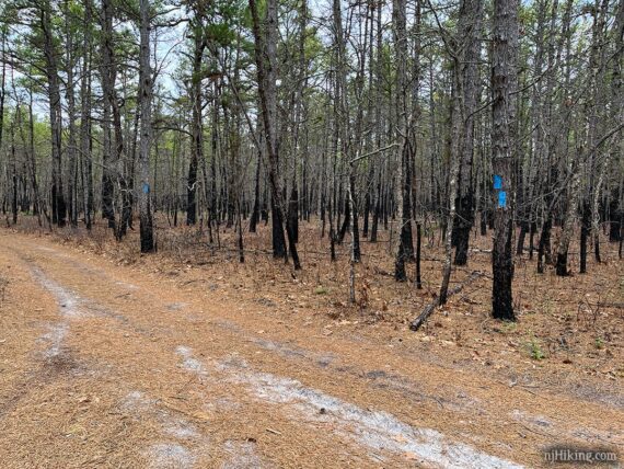
3.9 – At an intersection, follow BLUE (Buttonwood Camp Connector) as it turns LEFT.
Shortly, arrive at PINK (Batona) which has a large sign showing the NORTH and SOUTH split. The Batona Trail meanders and curves around and is why opposite directions seem to going the same way.
Continue ahead to the LEFT to start following PINK (Batona) – NORTH.
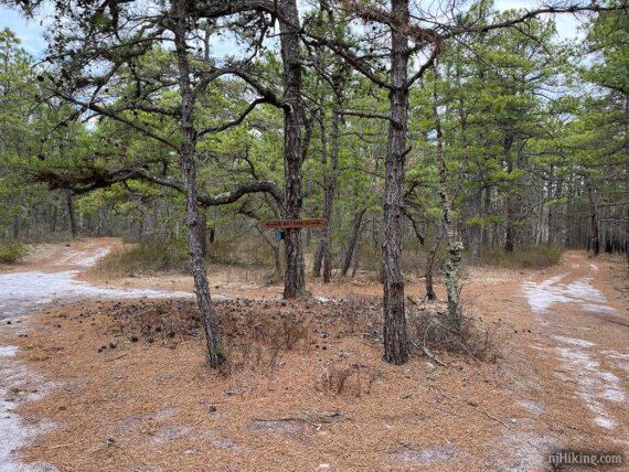
The Batona Trail is well marked with PINK blazes and that this direction is traveling north towards Ong’s Hat, the location of a ghost town in the pine barrens.
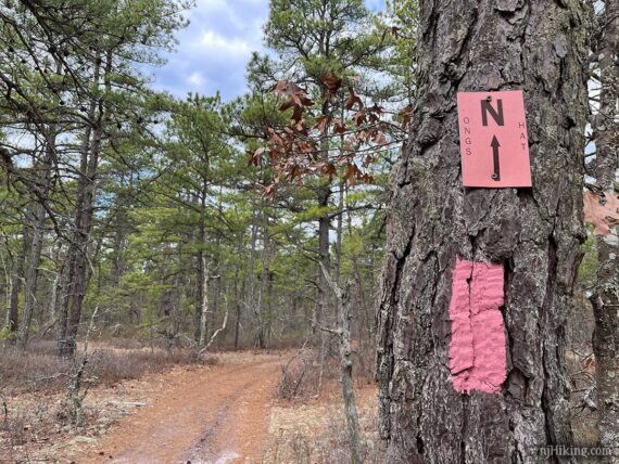
5.0 – PINK (Batona) turns LEFT. Much of this route is on a wide sand road with more trees charred on one side of the trail.
5.8 – PINK (Batona) approaches a paved road (Bulltown or Tylertown Road depending on the map) but turns LEFT, away from it.
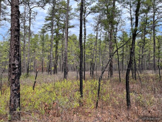
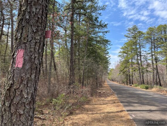
6.1 – Turn LEFT as PINK (Batona) runs along the shoulder of a paved road (Washington Turnpike) for 0.1 miles before turning back on a trail.
6.7 – Pass ORANGE (Sand and Water) on the left.
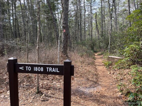
7.1 – Cross the park road.
7.2 – Turn LEFT to now follow BLUE/WHITE and soon arrive at the back end of Batsto’s parking lot.
—
Hiked: 3/29/25.