Moderate route in Wawayanda State Park that uses Old Coal, Lookout, and Turkey Ridge trails.
I’d had Turkey Ridge trail in Wawayanda on my list for several few weeks but we inadvertently chose the worst possible day to do it…
…it was like the universe was against us…
…traffic delays, a bike race, and a thunder storm.
Yep, it was one of those days.
Now, of course, an annoying day on the trail is still better than a good day at work but…
Miles: 7.3
Parking: N41 08.565 W74 24.441 [P7 lot]
Route: Old Coal (RED) – Lookout (WHITE) – unmarked trail – left on Cherry Ridge (woods road) – left on Cabin (woods road) – left on Turkey Ridge (GREEN) – unmarked “Buddha” – right on Old Coal (RED)
For info and trail maps, check out our main page on Wawayanda State Park.
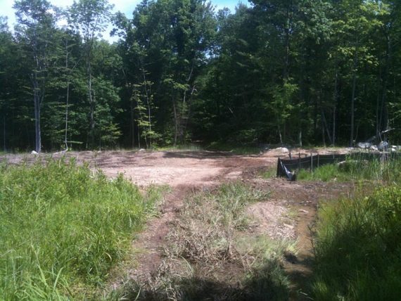
We’d done Old Coal nearly three years ago (see “Wawayanda State Park – Old Coal Trail… plus a Bear!“) and had thought about doing it again last year, but then those trails were closed for pipeline work.
When recently poking around map #116 of the 2012 version of the Northern New Jersey Highlands Trails Map I noticed there were some more unmarked trails noted in the Old Coal area.
And that Turkey Ridge and Cabin on the actual Wawayanda park map were blazed trails (green and yellow).
We’d always overlooked those before, so off we went.
We got a later start due to getting around a big traffic incident, and were surprised to see only 3 other cars in the lot (this lot is also for popular Terrace Pond).
The plan was to start at the P7 lot on Clinton Road and take Old Coal to Lookout Lake then Sitting Bear to Wigdam to Laurel.
Then back along Cherry Ridge with Turkey Ridge on the return; with the option to go all the way around to Pumphouse instead if we felt like making it really long.

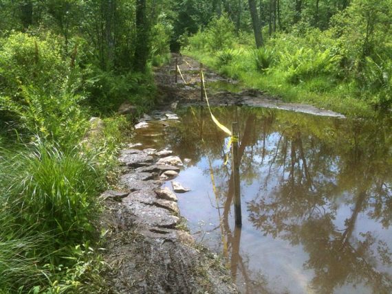
Old Coal is just an OK trail surface-wise. It’s an old woods road, and can be muddy, rutted, with that sloppy jumble of loose rocks that can plague woods roads.
There is also a very very wet section with deep mud that’s annoying.

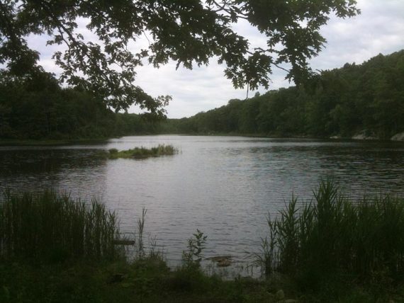
But the forest around it is nice and its leads into some really pretty areas… so it’s worth it. (This isn’t the trail to take if you’ve never been to Wawayanda before, though… start with the main park.)
At a trail intersection there was yellow tape up and “WRONG WAY” and arrow signs.
At first we thought there was a trail rerouting then realized it was directions for bikes. We hadn’t seen anyone all morning so we thought they were from the day before.
Just past Lookout Lake on the Lookout Trail we find the trail is completely blocked with long sections of yellow tape and a few branches piled up.
We’re like… ok that’s odd. Well if this is blocked for some reason, we’ll just get out to some other trail then – there are tons at Wawayanda.
Just as we limbo our way through the tape and over the branches, a biker comes whipping down the trail straight at us.
It was one of those slow-mo three seconds where your brain is trying to process “I am going to get run over”.
We weren’t on the trail but he needed to make a tight turn – just in front of us.
The only direction we could move away was to the right, but we were kind of pinned in by branches and a tree.
He was still headed for us and didn’t seem like he was going to turn… so I lunged away but only managed to stumble into a low rock.
He turned in time. Now, I’d like to think he had control and it wasn’t nearly as close as it felt like… but I was a little rattled and that incident set the tone for the rest of the day.
We continued up the trail and around a bend only to spot several more bikers coming.
Wearing racing stuff.
Ohhhh.
That’s when we realize this is more than just some mountain bikers… we’re in the middle of a race.
We had no idea there were even races allowed at this park.
We step off trail and whip out our handy dandy Trail Conference map to guess what their route is – like some crazy logic puzzle – so we can go elsewhere.
I am sure they didn’t want us on the trails as much as we don’t want to be on with them.
I really wished they’d posted a sign in the parking lot about the race as we could have simply done Terrace Pond instead, from that same parking lot.
Just up a bit was an unmarked trail marked with a “wrong way” sign (so the bikers would avoid it) which would lead to Cherry Ridge and options from there. Perfect.
Except it wasn’t.
Every time we adjusted our route, we ran into them again.
It was getting ridiculous and we decided we just needed to get out of the park.
(When we got home I located the course map online – it was 2 laps of 25 miles and used nearly all of the park’s trails… and there were 200 riders. No wonder we couldn’t escape!)
So the rest of the day consisted of constantly stepping off trail (hopefully avoiding poison ivy and tick-filled brush) to let bikers zip past, punctuated with a few peaceful stretches we could find off-route.
This had to be the most annoying hike we’ve had in a long, long time.
And on such a beautiful 70-ish degree day too.
Then just as we took a snack break and sat down… it started raining.
Seriously?
I usually double-check the forecast the morning of a hike but of course today I forgot.
And besides, we obsessively watch the forecast all week in order to determine whether to hike Saturday or Sunday… and when I last checked I was pretty certain that there was only a slight chance of storms later in the afternoon.
We moved under a tree branch for a moment, as it seemed like it was going to be one of those 5-min soakers.
Then we heard the rumble of thunder.
Well, alrighty then.
I guess we are eating while hiking. It rained the rest of the way back to the car, but hey that’s where quick-drying hiking clothes come in handy.
The Turkey Ridge trail and others in the area are actually really pretty and very enjoyable, so someday we’ll give it another shot – but first I am going to make sure there are no races going on.
Snacktime: Tried some Gatorade Energy Chews – Fruit Punch. 6 chews are 100 calories, 0 fat.
Not bad, similar to the Clif Shot Bloks, but more easily available at ShopRite.
Decent no-fat energy alternative if you need a little zing but want something lighter than a bar.