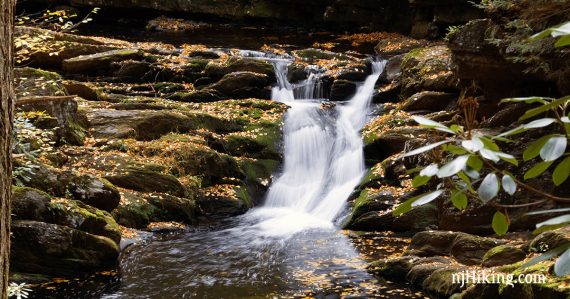
Plenty of cascades and waterfalls along a cool, shady trail.
1.6 miles, total out-and-back. Trail is very rocky and much is along the water’s edge. Could be slippery in wet or icy conditions.
| 1.6 miles | This hike guide: Detailed instructions and photos follow below. |
| Nearby Hikes | Laurel Falls; Sunfish Pond to Raccoon Ridge; Catfish Fire Tower; Sunfish Pond – Douglas Loop; Coppermines – Rattlesnake Swamp; Rattlesnake Swamp – Catfish Fire Tower Loop; Buttermilk Falls, Crater Lake, Hemlock Pond; Buttermilk Falls (falls only); Silver Spray Falls; Tillman Ravine; Crater Lake and Hemlock Pond Loop; Crater Lake to Blue Mountain. |
Our two cents:
Effort-to-reward ratio is totally in your favor on this short hike. Gorgeous year-round and stunning in fall. Avoid when very wet or icy. Can be a crazy popular area.
Note: Only the last part of the video shows Van Campens Glen.
Updated: 10/2023 – Minor edits; re-hiked. Older change log at page bottom.
Hike Info:
Map:
Get the Kittatinny Trails or use the park map in the links above. Follow along on your smartphone with our Interactive Map link above.
Books:
A hike that includes this section with a trail map is in Hiking New Jersey (2023). Trail descriptions appear in the Kittatinny Trails and the The New Jersey Walk Book.
Parking: N41.05811° W74.99766°
Located at the Lower Van Campens Glen Lot on Old Mine Road – but has no street address. Use our link above or try using “Hamilton Trail, Old Mine Rd, Hardwick Township, NJ 07825” as this should be close to the parking lot for Van Campens.
Using “Van Campens Glen Falls” is a point on the stream in the middle of a gorge but might get you somewhat near the parking area.
Follow Rt 80 West to Exit 1 (just before leaving NJ into PA) and bear right to a one-lane traffic light. Continue on Old Mine Road for about 10 miles to a small lot on the right side (large brown park sign).
Related: Waterfalls in NJ / Best Waterfall Hikes in NJ
Rest rooms:
Composting toilets located in the parking lot [NOT open 10/8/23]. Ones at Millbrook Village may be open [OPEN 10/8/23], this a few minutes away at the intersection of Old Mine Road and Millbrook Road/Rt 602.
Hike Directions:
Overview: Follow YELLOW along the water as far as you’d like, then retrace the route back.
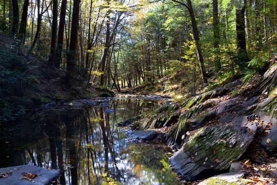
0.0 – The Van Campens Glen (YELLOW) trail head is at the end of the small parking lot by the trail kiosk.
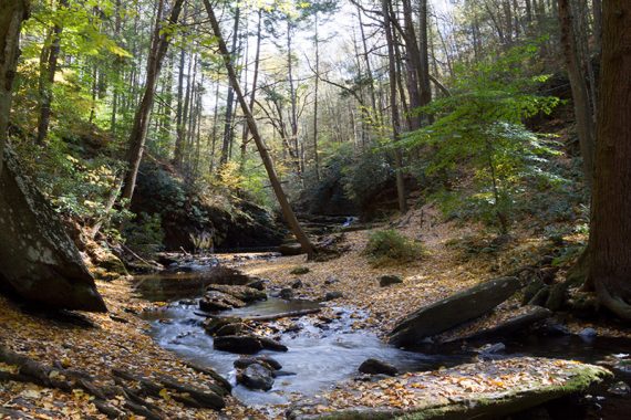
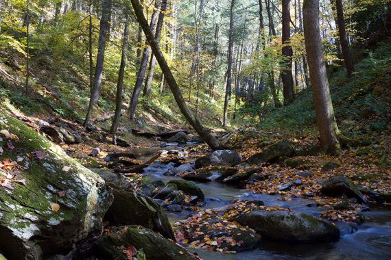
Follow the YELLOW trail as it hugs the side of the water.
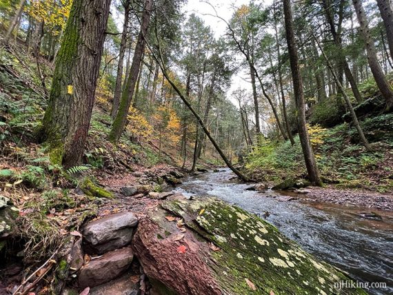
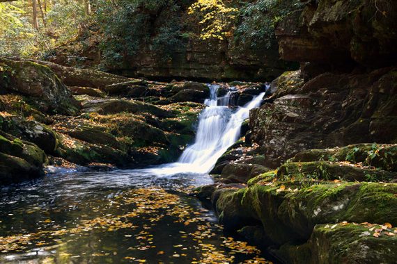
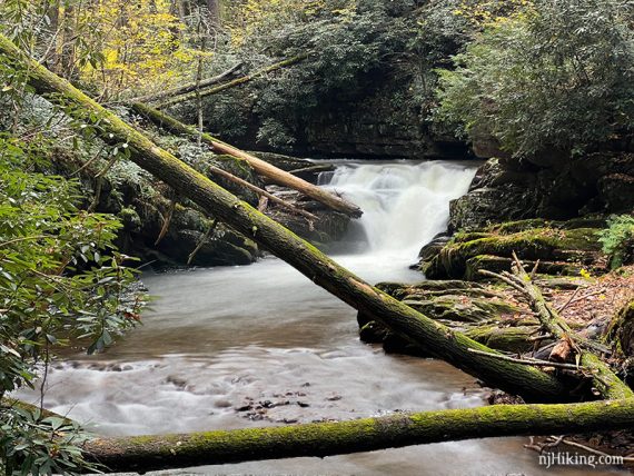
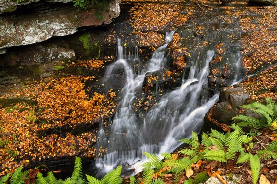
There are several cascades along the way.
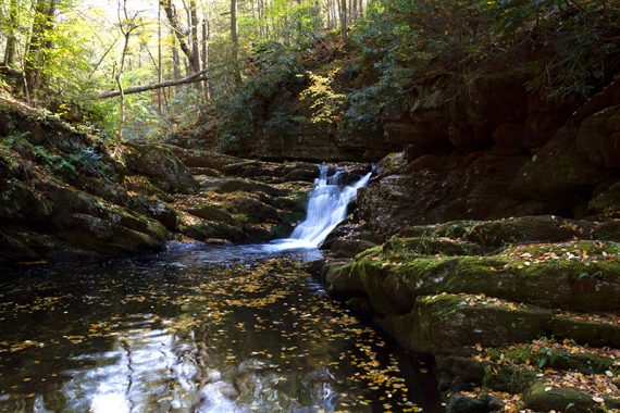
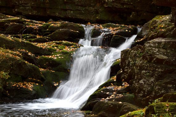
Regular, or even low, water flow highlights the varied rock faces and textures in Van Campens Glen. This is the same area above after substantial rainfall and a more forceful volume of water:
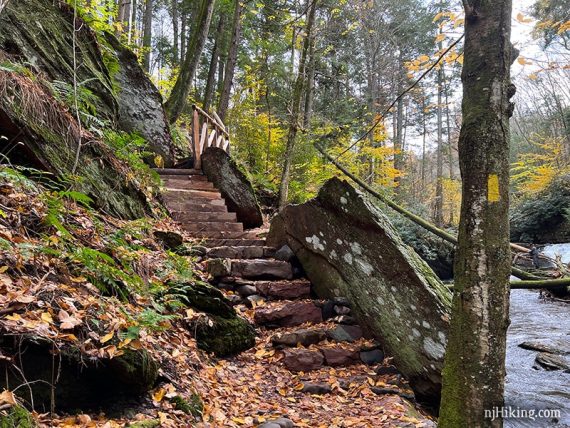
Eventually climb a section of stairs that are crafted into the rock face.
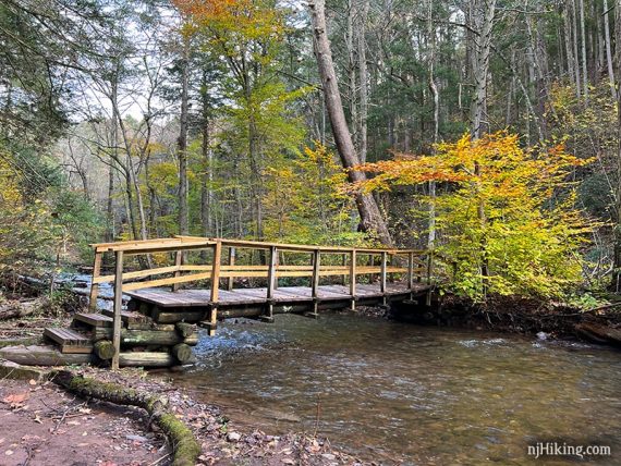
Cross Van Campens Brook on a wooden foot bridge.
Soon arrive at a larger waterfall with a wide pool of water in front of it.
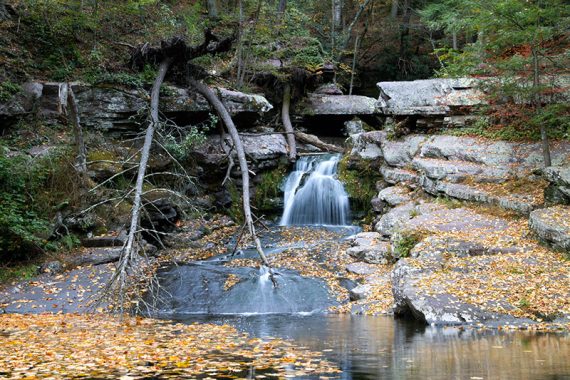
The same waterfall and pool after heavy rain.
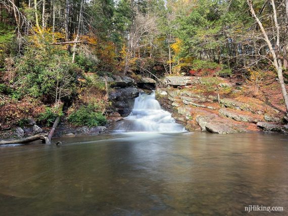
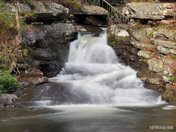
After the waterfall, the trail climbs to the top of a gorge where there are a few edges with dropoffs down to the water.
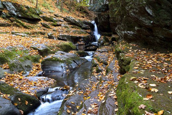
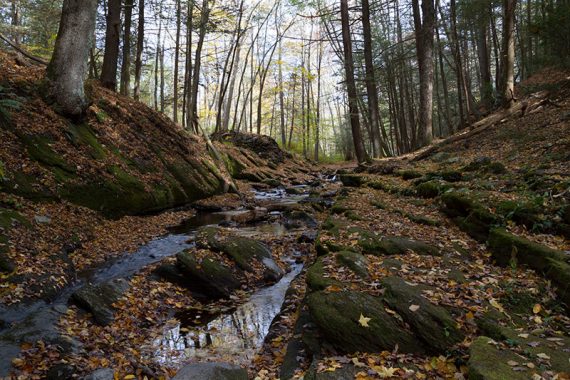
0.8 – The turnaround point for this route is at the end of the gorge where the YELLOW blazes veer to the RIGHT and head uphill away from the water.
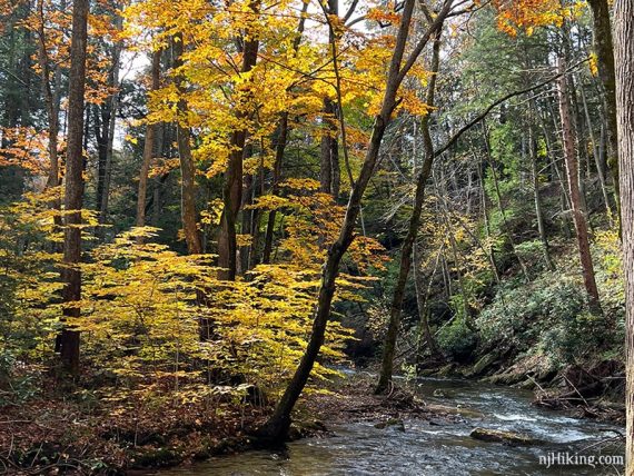
Fall foliage can really be pretty all along Van Campens Glen.

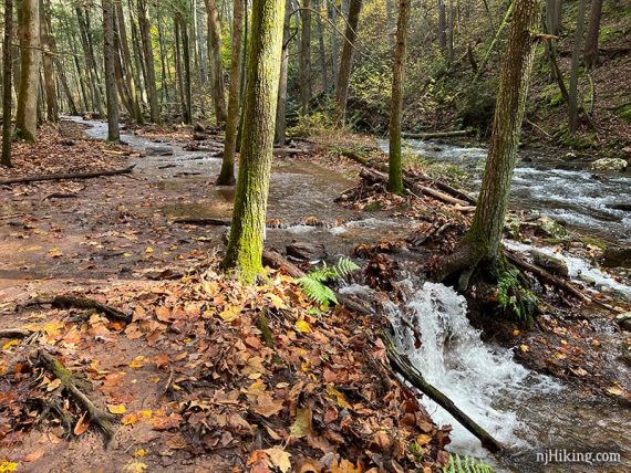
Hiking here after a lot of rainfall (10/2021), the water was flowing so high that it came up over and flooded the trail. Enough that there was a small cascade from the trail back down to the brook.
—
Hiked: 10/08/23. with Catfish Fire Tower.
Hiked: 10/31/21.
Hiked: 10/18/15.
Hiked: 5/1/11. with another trail. Trail blog: “Millbrook and Van Campens Glen in Spring“
Updated: 11/2021 – Re-hiked, added photos, minor edits. 6/2021 – Page refreshed, not re-hiked.