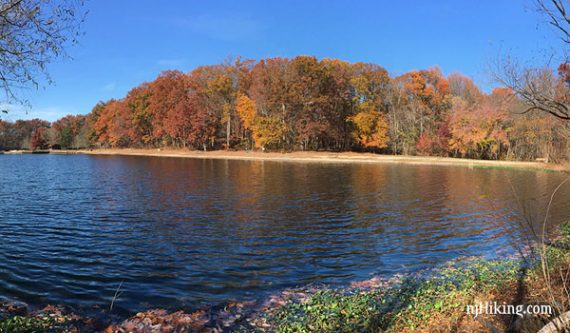
Hike around Turkey Swamp lake and towards the Manasquan River in a park at the northern edge of Jersey’s pine barrens.
5.2 miles. Trail surface is easy, dirt and sand, mostly level.
- Short: 1.6 miles – follow Alder for an easy loop around the lake.
- Shorter: 3.8 – cut the loop around the lake out; noted in the directions below.
- Longer: Metedeconk To Manasquan Loop from Nomoco parking.
- Nearby: Manasquan Reservoir; Monmouth Battlefield; Perrineville Lake Park; Forest Resource Education Center; Clayton Park.
- Nearby: Prospertown Lake Kayak.
Hike Info:
Our two cents:
Good for an easy/short hike in with a scenic lake right at the parking lot. Campgrounds, boat rentals, and ice skating in season.
Slight negative: There must be a shooting range nearby as we’ve heard constant fire during more than one visit.
Updated: 1/2022 – Minor edits; re-hiked (via snowshoe) most of this route. 7/2021 – Page refreshed; not re-hiked.
Map:
Print ahead or possibly at Oak Point parking kiosk.
Parking: N40.19700° W74.30345° [Oak Point]
200 Georgia Road, Freehold, NJ 07728. From the park’s website: State Hwy. 9 to route 524 west. Follow 524 west to Georgia Rd., turn left and follow Georgia Rd. 1.7 miles to main entrance.
Restrooms:
Located in the park building at the Oak Point parking area; a few others around the park are marked on the map.
Hike Directions:
Overview: Alder around the lake – Manasquan – Old Lenape
Note: In Monmouth County parks, trail difficulty is noted by shapes and colors (Green Circle means easy, Blue Square means moderate) and the trails aren’t blazed by color.
Intersections may have posts indicating directions, but it can often be unclear pinpointing your location on the map or deciding where to go.
The park is not large and it’s usually not a huge problem but it does make it difficult to give detailed directions.
0.0 – From the Oak Point parking area, walk past the right side of the shelter building and head towards the lake and boat dock for a view of the lake.
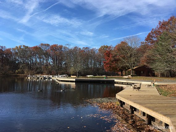
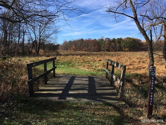
Follow along the lake to the right, past the boats, to find the Alder Trail. Turn LEFT and go over a small wooden bridge.
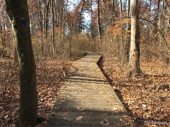
// Shorter option: Instead when at the lake, head left around it to pick up the Manasquan trail, cutting out hiking around the lake. //
Continue on Alder as it hugs the lake, passing fields, and intersections with a fitness trail.
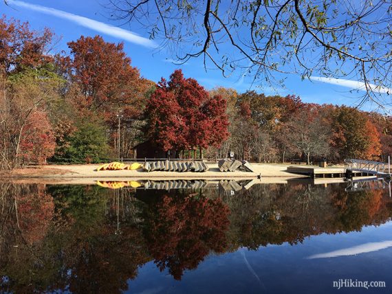
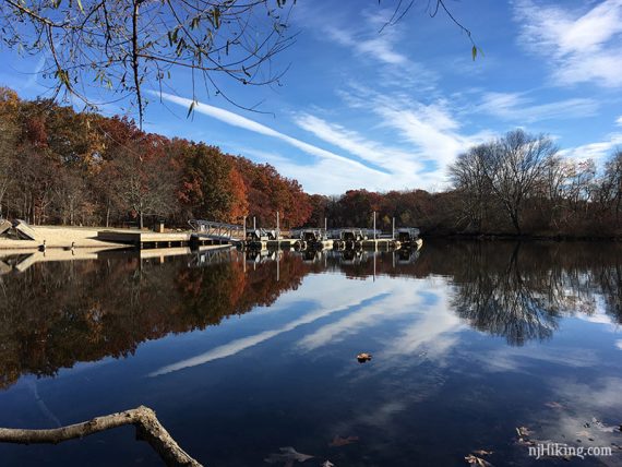
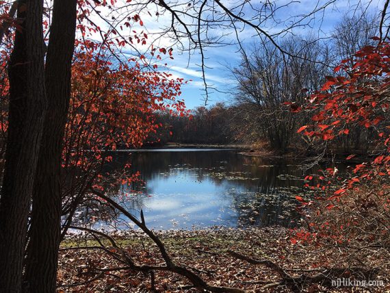
Continue following Alder along field edges.
Alder has views of the lake, an area which was low with visible tree stumps when we hiked it.
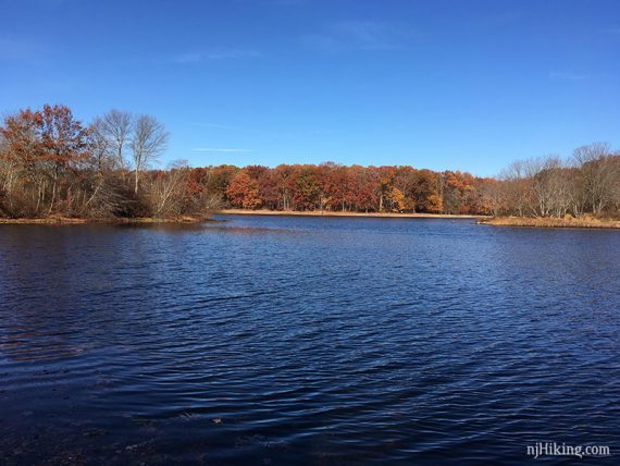
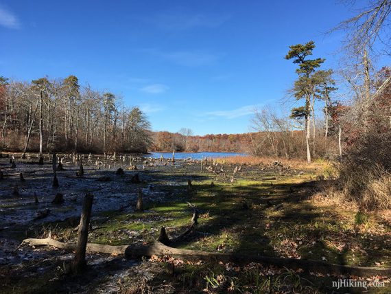
1.5 – Alder will loop almost all the way around, coming out to a grassy area where there is a bench that has a view across the lake to the dock and boats.
Enter the woods again and in a few steps start follow the Manasquan Trail. Soon, cross the park road.
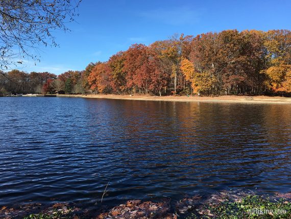
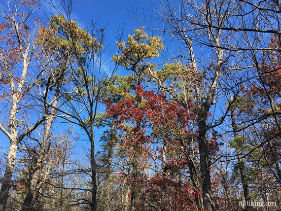
3.3 – Arrive at the Manasquan River and a bench.
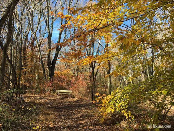
View of the Manasquan River.
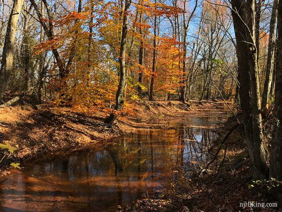
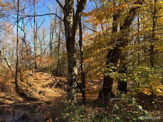
Continue on the Manasquan Trail as it turns to loop back. Cross the park road again.
// Alternate: Instead, turn left and follow the park road back to the lot. This reduces the hike by about 0.25 mile. //
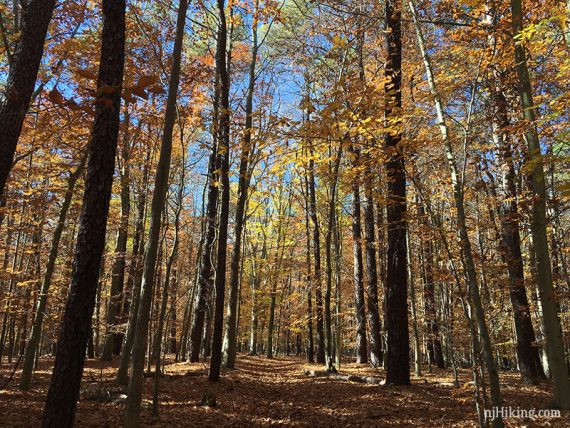
4.5 – Trail intersection, continue straight to now follow Old Lenape. [Old Lenape also goes left and will cross back over the park road and then parallel that back to the lot.]
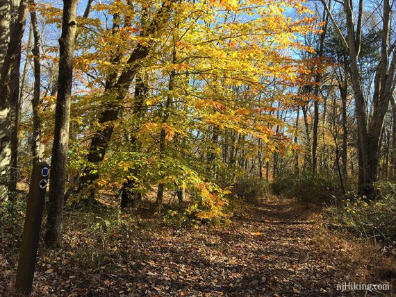
Pass a large campfire “council ring” on the left. Trail curves to the left as it nears the park road close to another parking area.
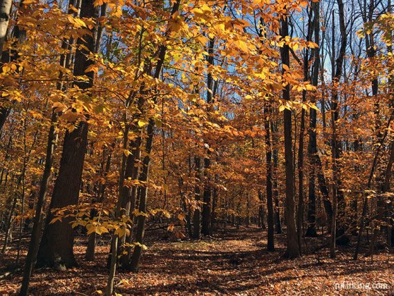
Cross the park road and continue to the Oak Point parking area.
—
Hiked: 1/30/22. via snowshoe.
Hiked: 11/13/16.
Hiked: 11/24/13. Variation; no lake loop. Trail Blog: “Turkey Swamp – Manasquan Trail“
Hiked: 2/6/11. Variation; snow. Trail Blog: “Turkey Swamp County Park in the Snow“