We only had time for a short hike this weekend, so we headed to Turkey Mountain.
This is located across the road from Pyramid Mountain in Boonton, NJ.
Turkey Mountain has some nice hiking, but most people tend to head over to Pyramid for Tripod Rock and Bear Rock etc. Pyramid and Turkey offer easy access to decent hiking, and is also a great place for beginners.
5.4 miles, moderate, minimal elevation gain.
Route: YELLOW – WHITE – RED – GREEN – BLUE.
For detailed hike directions, see our main Turkey Mountain hike guide.
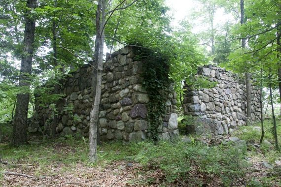
This hike has 4 viewpoints: two obscured, one of a lake, and one of the NYC skyline (very faint in the day’s humid haze). Also pass the ruins of a house (photo above).
This is pretty much the longest loop you can put together on the Turkey Mountain side without duplicating trail sections. Easily make a longer day by combining this loop with one at Pyramid Mountain as well.
This route starts from the Pyramid Mountain parking lot. Walk out the exit driveway, near the visitor center, cross the road, and start on the easy YELLOW trail.
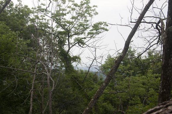
Pass an overlook with a limited view.
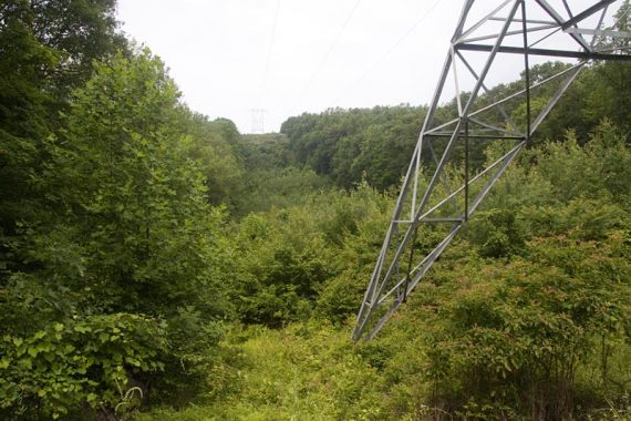
The trail crosses a power line cut.
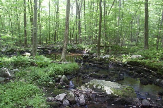
Cross North Valhalla Brook on a bridge.
There should be a small waterfall just north, before crossing the bridge. It wasn’t obvious the day we hiked, but after looking at our photos from an older winter hike we remembered it.
Dug up this little gem, circa 2006, to add to the page (6/2020).
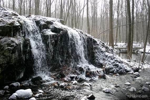
Either we were just oblivious that day or possibly it’s obscured a bit, or around a corner…. try looking/walking to the left some before you cross the bridge.
Follow YELLOW as it turns LEFT after the bridge.
YELLOW approaches Stony Brook road and parallels it for a bit, with some minor traffic noise.
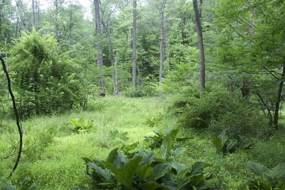
YELLOW comes out to the road, turn LEFT and walk along the guard rail for just a bit before turning LEFT back into the woods, on a woods road.
There is a small trail that leads to a large rock with a very obscured view (perhaps it is better when their is no leaf cover).
Just a few steps later, the YELLOW trail ends and you are at a T-junction with RED. Turn LEFT and follow RED (if you go right, you will also end up at 100 steps, but will miss stone ruins and a NYC view).
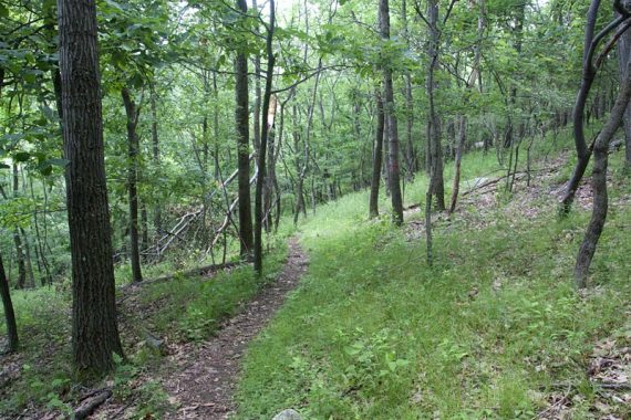
Turn RIGHT, following GREEN. RED goes straight.
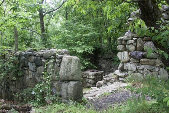
Stone ruins of a unfinished cabin. (According to theThe New Jersey Walk Book, the cabin was abandoned when the power lines were added)

Note: Look for a overlook spur trail behind the stone ruins that leads to a power line cut and an overlook of NYC… the spur trail is not obvious going this direction.
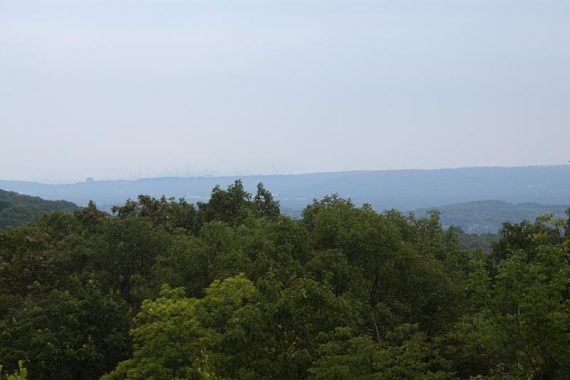
At the viewpoint, behind you and to the right, a stone chimney can be seen.
Viewpoint over Lake Valhalla.
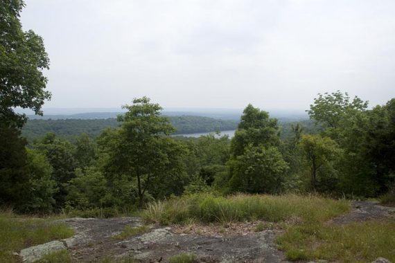
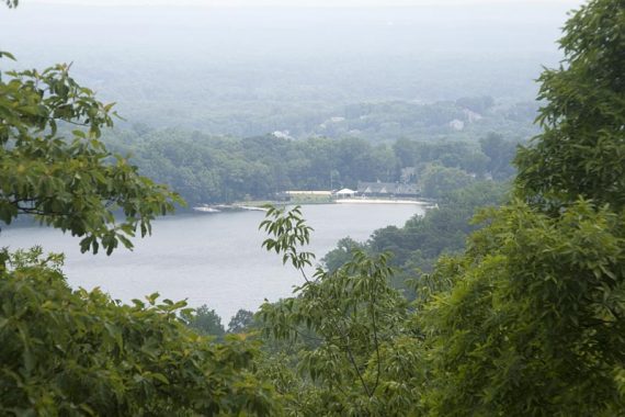
After that, the GREEN ends and T-intersects with BLUE. Turn RIGHT here and follow BLUE (there is also a blue arrow on a rock. You can also go LEFT for a longer way back to the lot).
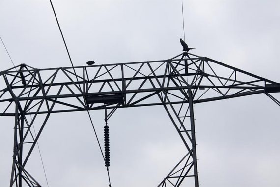
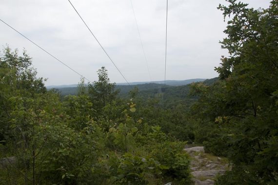
On the return, you come back via “100 steps” – a series of stones steps that follow the power line cut down the hill to to the road.
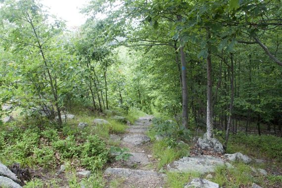
At the road, the trail turns left and then cross the road back to the entrance to the lot.
4/2022 – Archived photos from main hike guide to this page.
Great trail. Try to spot also the abandoned limestone quarry along the trail (Gordon quarry).