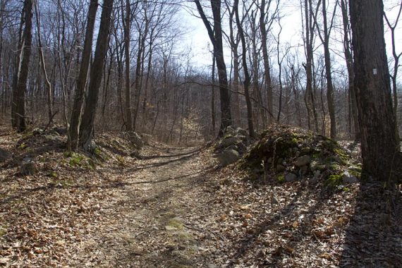
Decided to check out Stephens State Park once we stumbled on a trail map that showed the potential for long loops here.
10.2 miles, moderate trail surface. Lots of level woods roads, with some steep sections.
Detailed hike info and directions on our main Stephens State Park page.
This park is located right next to Allamuchy State Park, which we’d been to before, but we’d skipped Stephens because the official map only shows a few short trails around the parking lot.
If you aren’t looking for a long hike and are more into short trails, playgrounds and picnic areas, you’ll still want to check this park out.
From the small parking lot, take a short stroll down the red trail along the river – there is a bridge to cross and you can score a picnic table on a little island of land.
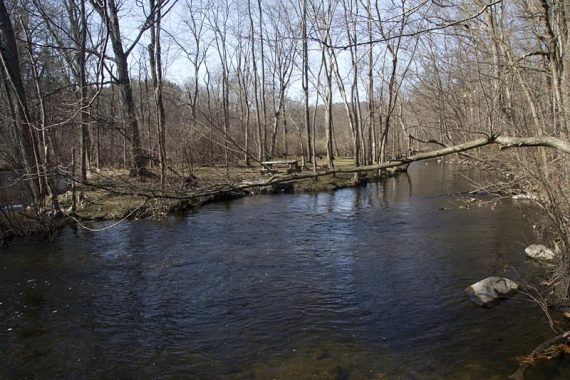
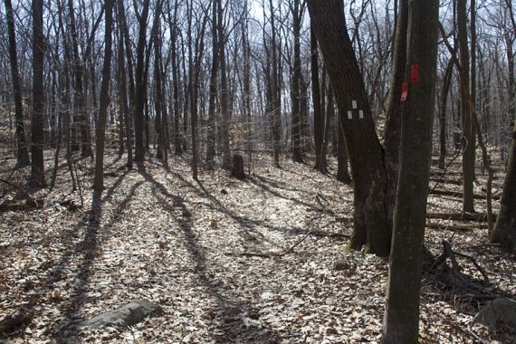
There are a few small trail loops and a couple of playgrounds.
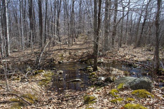
There were a lot of large areas of standing water… unsure if that was just because of the recent heavy rain or not. If you head there in the summer… have bug spray handy in case it’s mosquito central.
There is only one viewpoint on this loop, and that is if you go all the way to the fire tower.
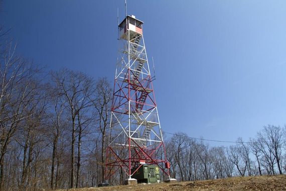
View from the fire tower.
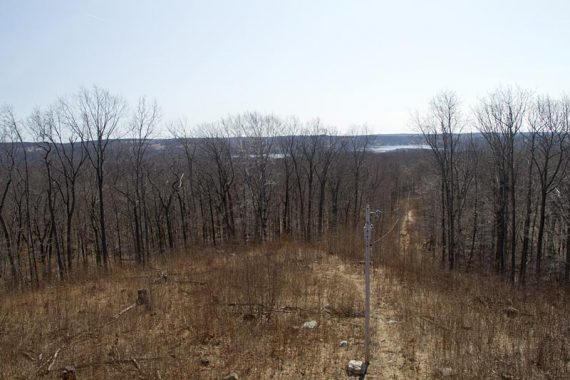
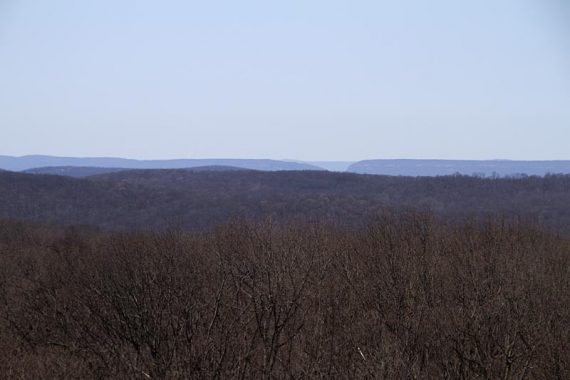
With the Delaware Water Gap visible in the distance.
The rest is mostly pleasant hiking, on a lot of woods roads. This trail is multi-use and we expected to see bikers, but we didn’t see a soul on the trail the entire day.
Perhaps when it warms up a bit, it was still quite chilly (with one stubborn tiny pile of snow near the parking lot!)
Updated: This area is now covered by the Morris County Highlands Trails map set.
Route: From behind the ranger station, pick up ORANGE and head uphill. WHITE – GREEN – PURPLE (kind of*) – GREEN – WHITE – RED/WHITE
*The PURPLE Fire Tower Loop was not blazed at the intersection with GREEN, and was only sort of blazed from the tower on.
Almost as if the plastic blazes were removed. This was really the only confusing area of the hike.
We’ll put together detailed directions when we do a page for this hike. It’s a short section that is unclear, if you want to give it a go in the mean time.
Updated: Check the link at the top of the page for hike details.
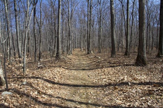
PURPLE Trail.
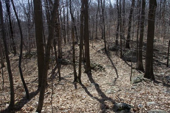
GREEN trail.
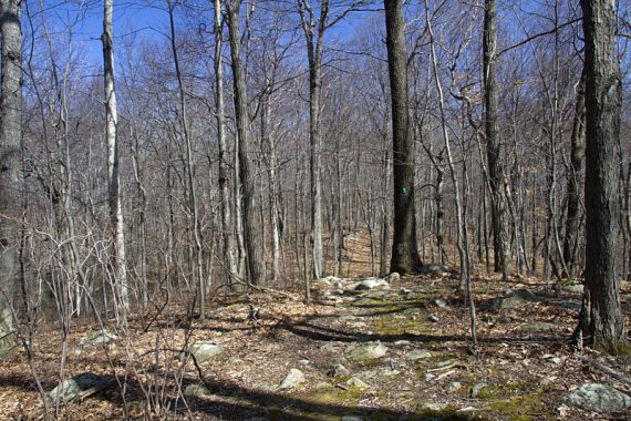
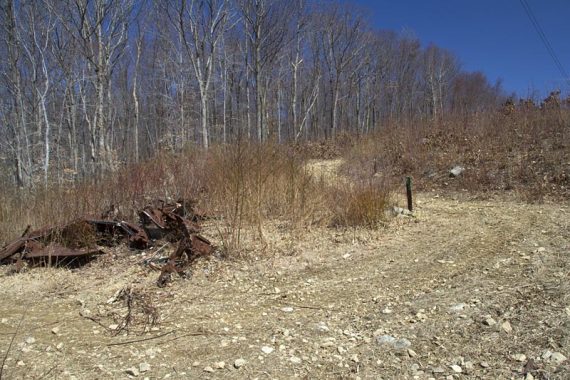
Parking area on Station Rd.
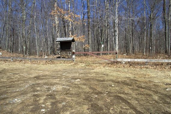
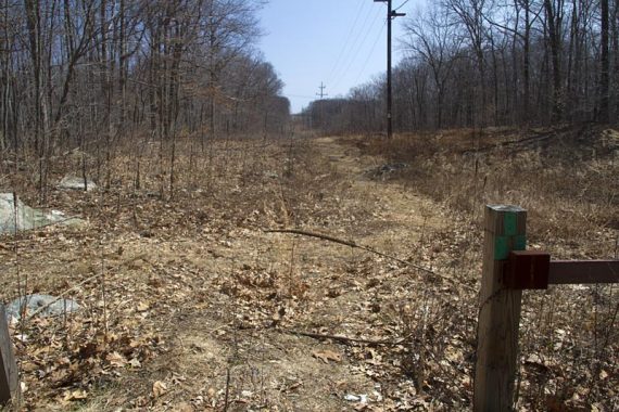
GREEN trail along a power line cut.
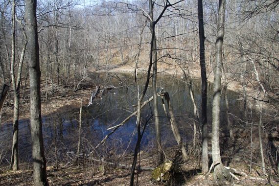
Small pond on the WHITE trail.
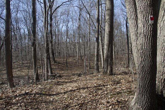
RED/WHITE trail, goes past a picnic area.
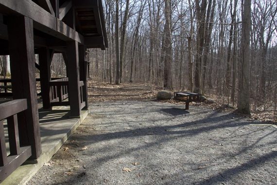
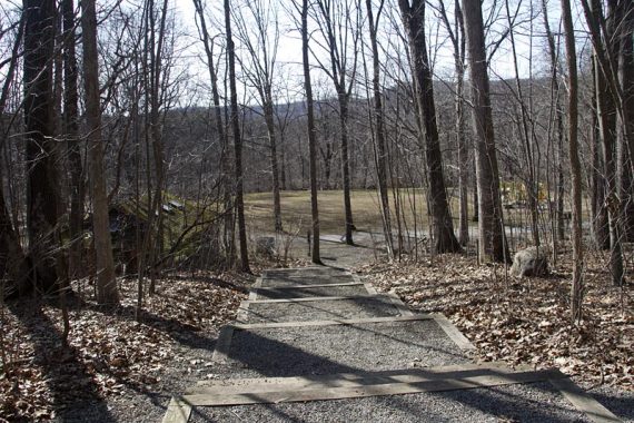
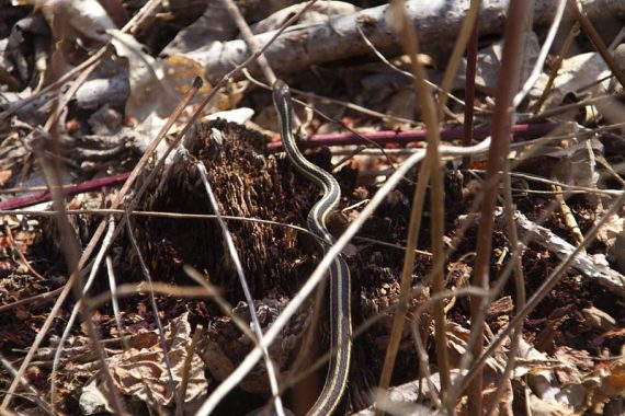
Wildlife: Spring is coming soon…. the frogs in several wet areas were making quite a racket. And a little snake!
I agree about the Purple blazes. I hiked all the way back on Green to the gravel road where Purple blazes should appear and couldn’t find the exact path tot he fire tower so after realizing on my gps app that I was already heading back down on Green I gave up and headed back down. As of August 2012 Purple is still hard to find. I did however, discover an apparently little used parking area off the Green trail at the end of Station Road. The parking area is gravel, but starting to get a lot of grass overgrowing. It is fenced in and with tree signage stating it is an official part of the park, so if anyone did park up there for a short hike near the firetower it should be perfectly legal. It’s in one of the areas where the Green follows the JCP&L “easement” and goes under the high voltage lines (which knowing how much power is going through them, and the fact that the buzzing from them was pretty noticeable, it did sort of make me nervous…but i’m sureits safe)
Stephens has gotten a lot better recently with more marked trails instead of just a few loops down near the parking area. They actually extend a pretty far distance back. Just watch out in some of the areas with a lot of close foliage in the summer. The gnats swarm in clouds and even bug spray does little to keep them from orbiting your head.
To date I’ve been on the White, Green, Pink(yes, there’s a pink blazed trail that loops up to the RR tracks and back to White), Blue, Red, Yellow, White-Red and Orange trails in the park. I’d check out the Highlands section that extends from the park but you really don’t want to hike along Waterloo Road if you don’t have to-the trail has a few crosses of this road with no real marked crosswalks. Everyone treats that road like the “Hackettstown-Allamuchy-Byram Expressway”