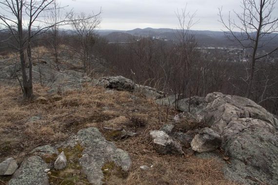
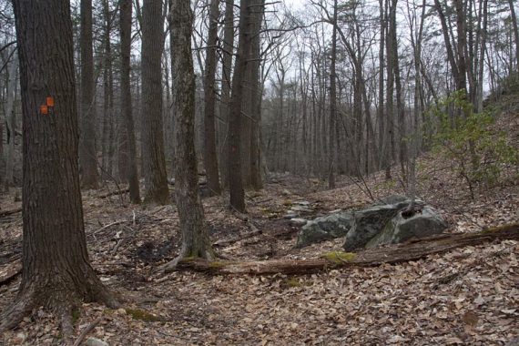
Headed over to Ramapo Mountain State Forest to check out a newer trail, Wanaque Ridge, in the western part of the park.
We slapped together a route as we went along and ended up only with 7.2 miles, but there was a decent amount of up and down along a pretty rugged trail surface.
Complete hike details on our main Wanaque Ridge Trail page.
It was a brrrrisk and dreary day, so we plan to come back to take photos when it’s more colorful.
Ramapo is a great park to hike and the Wanaque Ridge trail was no exception, especially if you enjoy ridge hikes.
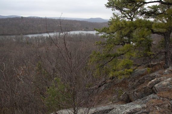
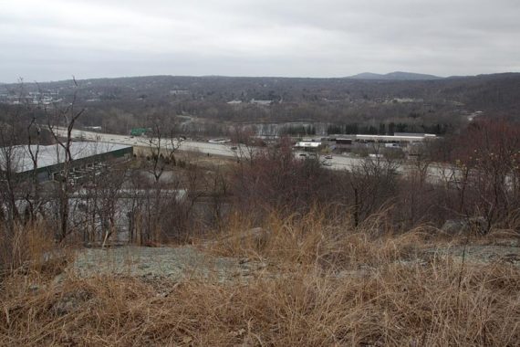
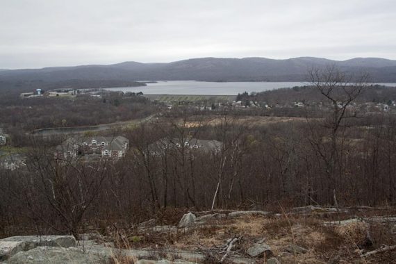
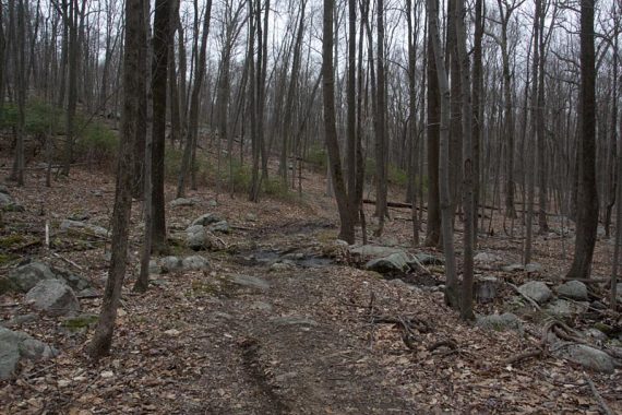
Once we got to the Wanaque Trail from MacEvoy Trail, it started out just as nice forest, then climbed up to the ridge for some great views of Wanaque Reservoir and dams and all the surrounding mountains. (and, well yeah, houses too)
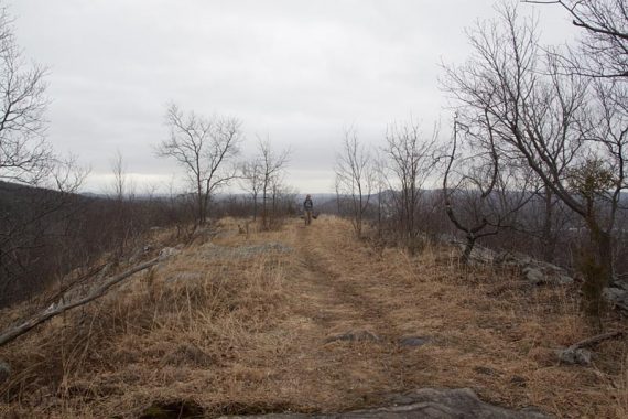
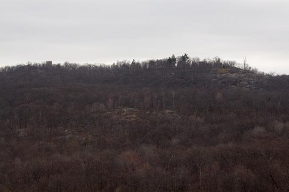
Further down the trail, views opened up back toward the main part of the park and we could just see the ruins of Van Slyke Castle and the water tower (another great hike in the park).
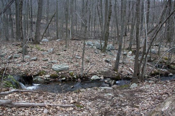
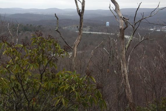
There were views along the YELLOW trail as well – but you have 287 there which, while interesting, is not as scenic.
Ramapo does tend to suffer from 287 traffic noise, especially in the southern part of the park as it edges closer to the highway, but it’s not a deal-breaker… the hiking is just really nice here.
Parking: We parked at the main lot – Exit 57 off of Rt. 287, left at the light and go straight for just a bit. The lot is on the left – it’s pretty rocky and rutted so take it easy pulling in there. There is a porta-john.
A trail kiosk contained no maps and I’ve never seen one online for this park… best bet is to buy Northern New Jersey Highlands Trails Map anyway because there are so many trail options here.
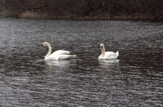
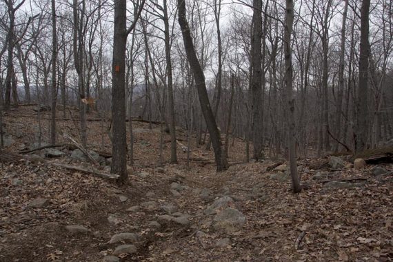
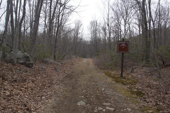
Route: BLUE (MacEvoy) to Ramapo Lake, turn right and walk around the north side of the lake. Keep following BLUE up a little hill and pay attention to BLUE as there are several blazes in the area.
Pick up ORANGE (Wanaque Ridge). It will end at Indian Rock Trail (red diamond on white), take that for a bit then turn RIGHT onto Cannonball (red C on white) [you can take Cannonball left back to the lake if you prefer to shorten it up]
Cannonball to YELLOW (Hoeferlin Memorial – hard to spot going this direction).
YELLOW takes you over some rugged ridges and back to the road that goes around the lake. At the woods road, turn RIGHT and take it around over the spillway to make a RIGHT onto BLUE and follow back to the lot.
Wanaque Ridge trail can also be accessed from a parking area at “Back Beach Park” – you could use this to make a nice shorter hike just up along the ridge and back.
–5/2020: Added photos back from version 1.0 of site.