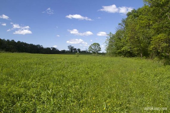
Hike along fields and through forests and along the Musconetcong River to a nice overlook of the surrounding Hunterdon County farmland.
As per usual on Memorial Day Weekend, we pointed the car in the opposite direction of crowded beaches and the associated traffic, ending up at Point Mountain Reservation. We’d been anxious to get back in the swing of things after a myriad of house and car issues kept preempting our hikes.
For general info and trail maps, visit our main Point Mountain Reservation page.
We’d hiked here only once before, doing a short hike in the central section almost four years ago (“Point Mountain Reservation“).
Since then, the trail maps had been updated as well as a northern section created and linked to the central section that allowed us to extend the hike.
We’d also ignored the southern section last time since it starts out in a field and didn’t sound all that interesting. And this time we bypassed an area of the Riverwalk Trail that was severely overgrown before and reported to be the same now.
Update 7/2018 – The WHITE trail may be impassable after the first mile, due to sticker bushes with no obvious bypass. This could change if the trail gets maintenance. [Thanks to Gene for the update.]
Starting from Mountain Top lot, the WHITE trail heads through fields before heading into the forest.
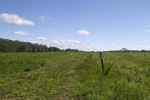
It’s actually quite pretty and pleasant, but I was sure glad I’d opted for long pants as the grass was long, and the southern section of woods a tad overgrown.
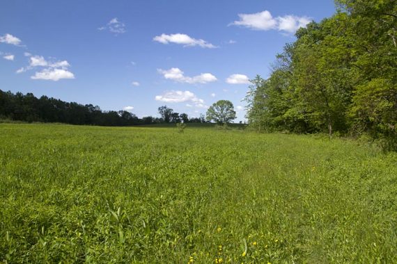
We also encountered our first cicadas of the season in the brush along the fields. Tons.

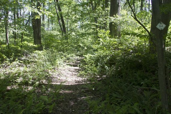
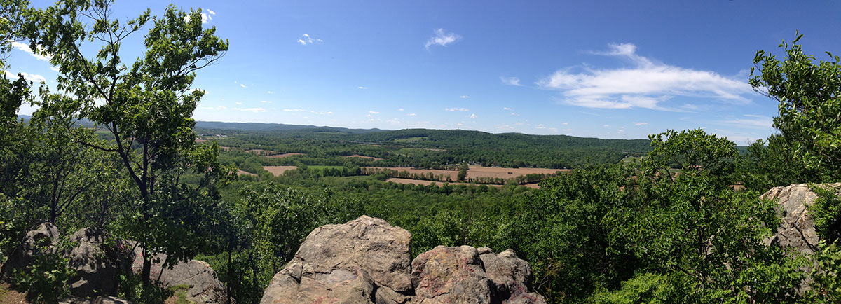
From WHITE we took YELLOW up to the overlook.

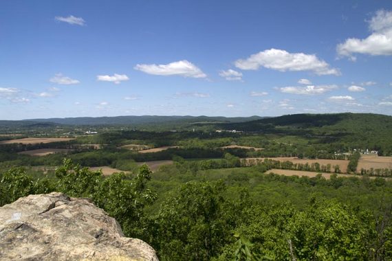
It’s a great view over the fields and forests below and hills in distance but was so windy that day we didn’t stick around long.
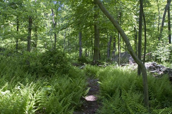
We planned on going down to the river first but decided to continue on ORANGE along the ridge instead, picking up another WHITE trail to cross into the Northern section.
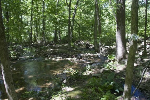
This required a stream hop that was a little tough with the water levels being a bit high.
At Penwill road it’s slightly unclear where the trail heads – cross the road and walk to the left where there are stones noting the trail. Head steeply uphill.
We did a short loop and then decided to head back, but there are a few more trails in this area to check out if you wanted.
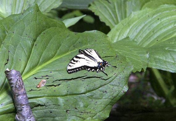
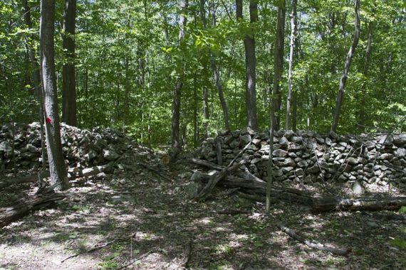
Once back in the Central section we skirted the edge of some fields to pick up BLUE that runs next to the Musconetcong River.
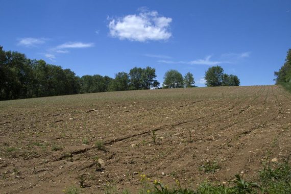
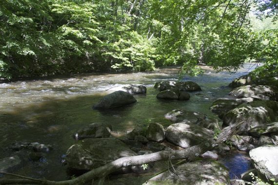
Then when BLUE splits we veered off to the left so we could take YELLOW back up to the overlook and retrace our steps to the Mountain Top road lot.
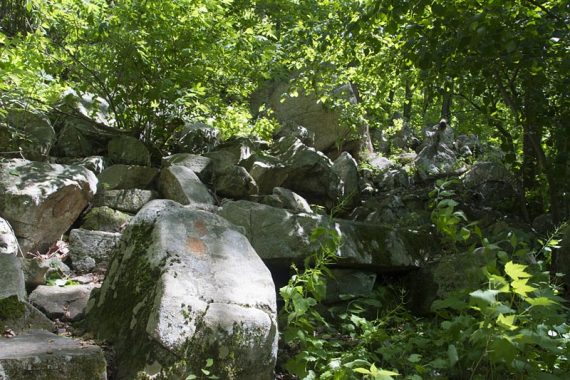
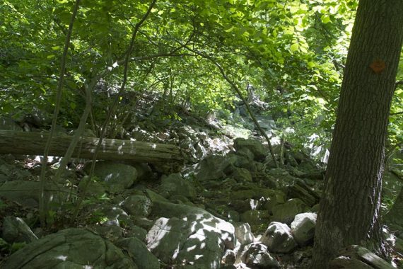
Parking: N40 45.109 W74 54.698 [Mountain Top Road lot]
The turn into the small dirt lot is hard to spot. From the direction we came, we didn’t spot a sign for it. It’s across from a farm gate. (bonus: we spotted cows, sheep and llamas!)
No restrooms.
Miles: 9.7
Route: WHITE (southern section) – YELLOW (Overlook Trail) – ORANGE (Ridge Trail) – WHITE (Northern) – RED – BLUE (Northern) – WHITE (Northern) – BLUE (Riverwalk Trail) – ORANGE (Ridge Trail) – YELLOW (Overlook Trail) – WHITE (southern section)
Ode to Hikemobile I: After 17 years of faithfully taking us to trailheads – down many a road we probably should not have been driving a compact car on – it’s time to retire our beloved Hikemobile.
So we’d like to raise a Clif Bar in salute to the many, many miles logged, the backpacks and bikes carried, and the mud and bug spray endured… Cheers!
I WAS HIKING ON POINT MOUNTAIN PAST SUNDAY (11/17/13) AND DURING OUR 2 HOUR HIKE, WE HEARD TWO GUN SHOTS. WE CHANGED OUR PLAN FROM SATURDAY TO SUNDAY BECAUSE THERE IS NO HUNTING ALLOWED ON SUNDAYS? DO PEOPLE HUNT ON SUNDAYS IN THIS PARK EVEN THOUGH IT IS NOT ALLOWED?
Raja – in NJ, there is no gun hunting allowed on Sundays at all, just bow hunting in certain areas. You could have heard firing practice on the private property that surrounds the park, especially since there are large areas of farmland near Point Mtn. Of course, it is always a possibility that someone was doing something illegal… but it was likely someone firing on their private property.
For more info, check out our page: Hiking in NJ During Hunting Season
Anyone know about these trail conditions now? I would love to take my mountain bike through but worried that it may be too overgrown.
Mike – Not sure of the conditions, we haven’t been in awhile.
Tried hiking this today. Unfortunately, due to lack of any trail maintenance, the white trail is totally unpassable after about a mile. It is totally snarled by thick sticker bushes and brambles. I could not find s way around it. The area is the sticker bush capital of NJ.
Hiked from South Pt Mountain (Mt Top Rd parking lot) up to Pt Mt overlook and took the long way down to the river before heading back (white > yellow > orange > blue > orange > yellow > white. White had some muddy ruts from early trail maintenance (?) but was clear all the way through to yellow! Beautiful hike!!