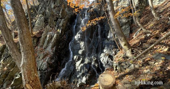
Enjoy expansive views over the Hudson River to New York City, a pretty waterfall, ruins, and a rope swing.
2.8 miles total round trip. Level then very steep down (and then back up); very rocky, stone stairs.
| 2.8 miles | This hike guide: Detailed instructions, photos, and video follow below. |
| Longer, same lot | The Giant Stairs. |
| Nearby | Alpine to Huyler’s Landing; Alpine to Forest View; Tenafly Nature Center and Lost Brook Preserve. |
Our two cents:
Short-n-steep hike that packs a lot of interest in under 3 miles. This route is a section of the Giant Stairs loop that doesn’t include the difficult rock scramble.
The waterfall can be a mere trickle in drier conditions; it doesn’t always gush. Icy or snowy conditions would make this route very challenging. Trail gets close to very high cliff edges.
This is a good spot to take in New Jersey’s fall foliage season. Peak color usually hits here after most of the rest of the state is winding down, generally the first or second week of November.
Bonus: Pop into the State Line Café at the parking lot for breakfast or lunch. Fun Fact: Half of this hike is in New Jersey, the other is in New York.
Hike Info:
Map:
Hudson Palisades Trails is best, but the park site has detailed maps too.
Books
Similar hike is in Best Day Hikes in New Jersey. Other routes in this area can be found in Hike of the Week, Hiking New Jersey (2023), Take a Hike New York City.
Parking: N40.98849° W73.90704°
State Line Lookout, Closter, NJ 07624. NJ Turnpike north towards Fort Lee/George Washington Bridge to Palisades Interstate Parkway to State Line Lookout exit.
Large paved lot that can fill up on nice days and now charges a parking fee year round (Metered parking with app or by license plate). The hike starts to the right of the cafe, in the far right corner when pulling into the lot.
Related: Waterfalls in NJ / Best Waterfall Hikes in NJ
Hike Directions:
Overview: Old Route 9W – Long Path (TEAL) – Shore (WHITE) – Long Path (TEAL) – Old Route 9W
0.0 – Walk towards the cafe. Just past it, check out the sweeping views up and down the Hudson River from the large viewing area at the stone walls. Look down below for a section of the Giant Stairs rock scramble.
The hike returns back here but it’s nice to check out the view at the start.
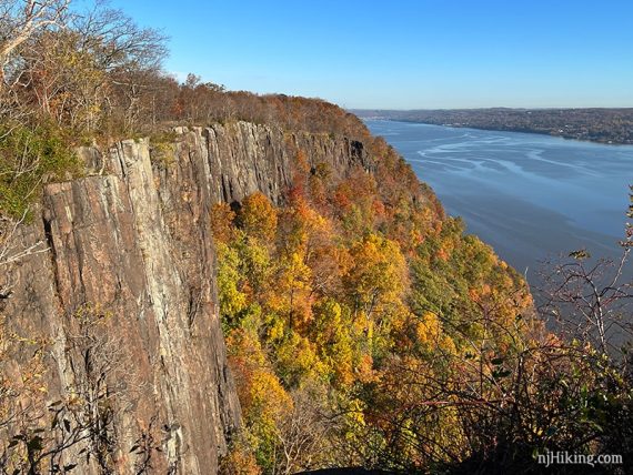
When ready, start following the paved path next to the State Line Café called Old Route 9W on the map (closed to traffic).
0.2 – Veer RIGHT off of the paved path and start following Long Path (TEAL).
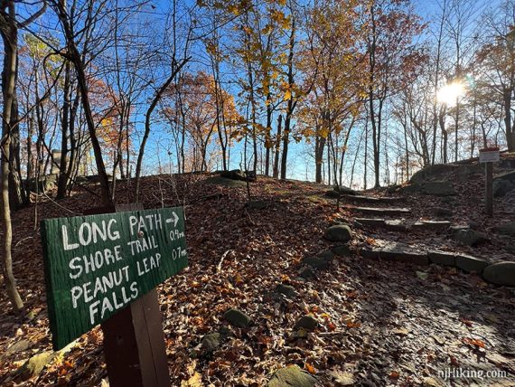
0.7 – At a sign for “Long Path, Shore Trail, Peanut Leap”, turn RIGHT to continue following Long Path (TEAL).
Just past this sign is the Boundary Monument. We somehow always manage to not notice it as we walk by (therefore, no photo). Later I realized it’s just visible in this photo, back on the left.
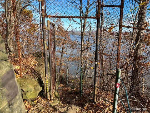
Soon, the trail curves around and goes through a break in a fence… and enters into New York from New Jersey.
Continue following Long Path (TEAL) as it heads downhill along a cliff edge, with a railing for part of the way.
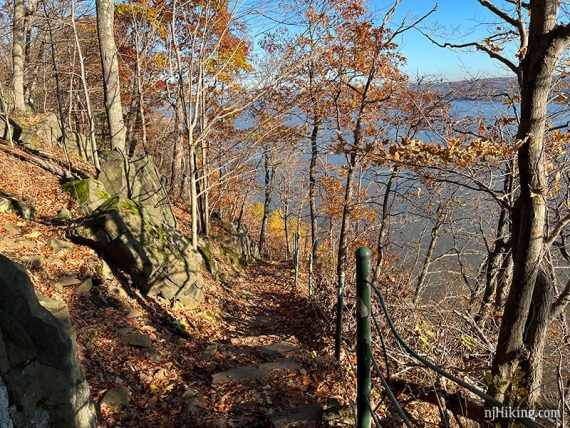
The trail comes close to the edge in spots. There is an eroded and fractured rock pillar off of the cliff.
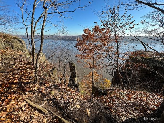
The dramatic cliffs of the Palisades come into view from an open area. Seen at the top of the cliff is High Gutter Point, which the trail goes to in just a moment.
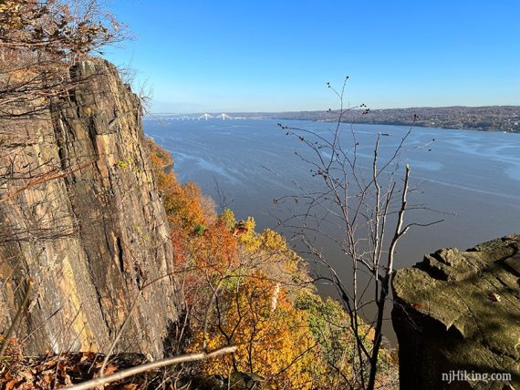
A rocky outcrop called “High Gutter Point” offers panoramic views over the Hudson River and of the NY skyline.
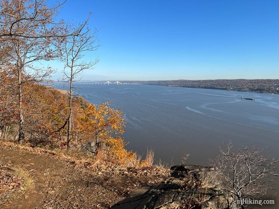
The Mario Cuomo bridge (formerly Tappen Zee) is in the distance.
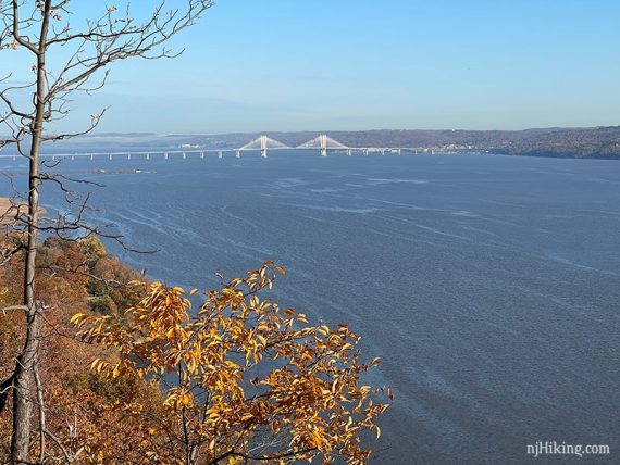
View of New York from the jagged cliff edge of High Gutter Point.
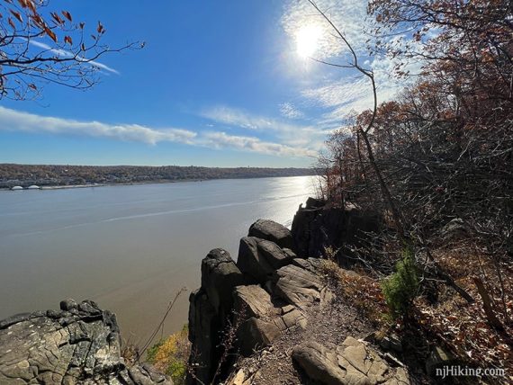
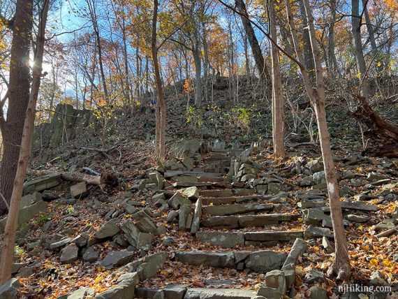
0.9 – Continue following Long Path (TEAL) as it heads steeply downhill, winding over rocks and worn rock slab steps.
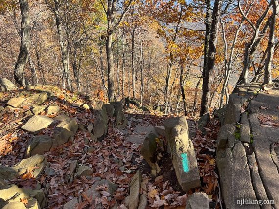
This section of the trail is steeper and trickier to navigate than the photos suggest.
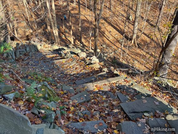
Looking back up the stone steps and steep hill:
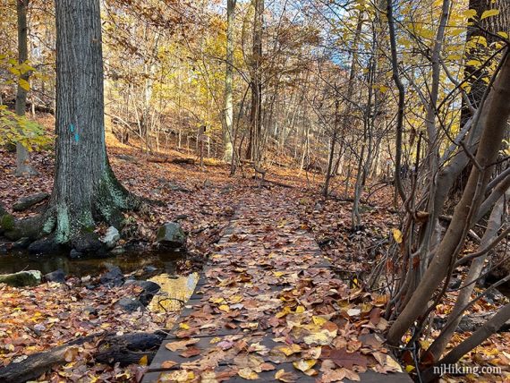
Cross wooden footbridges and arrive at a trail junction.
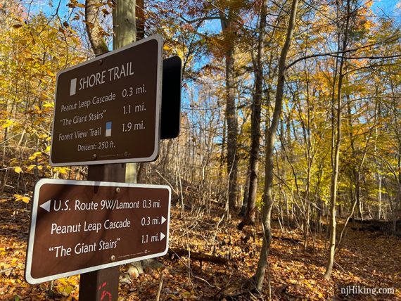
1.1 – Turn RIGHT to now follow Shore (WHITE). [Long Path (TEAL) leaves to the right].
Continue following Shore (WHITE) as it runs along a stream and in a pretty ravine.
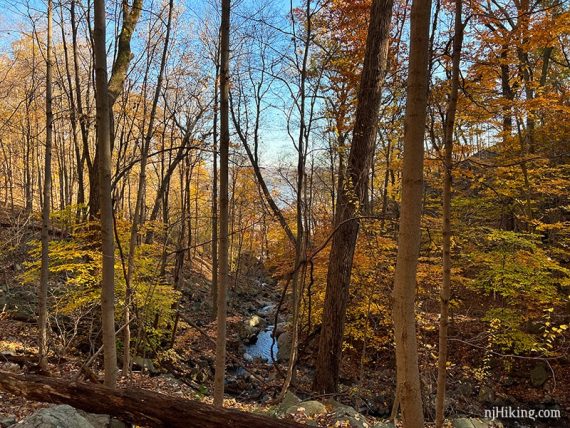
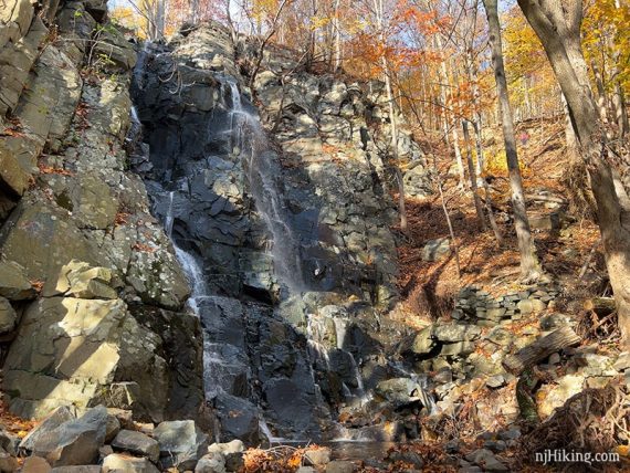
1.3 – Narrow switchbacks zig-zag down an even steeper section. Below, Peanut Leap Cascade comes into view.
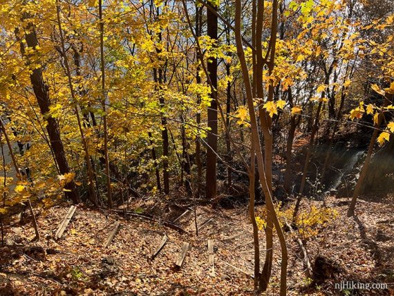
1.4 – Arrive at the top of stone ruins and Peanut Leap Cascade.
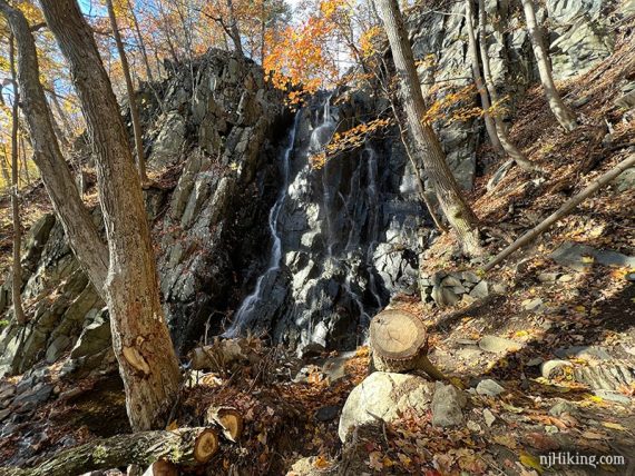
When we hiked here last (11/2021), there was actually a decent amount of water flowing – although it can be much more.
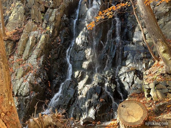
For comparison, this photo from 8/2017 shows that in dry conditions it can be barely a trickle.
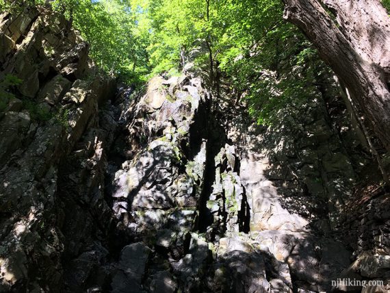
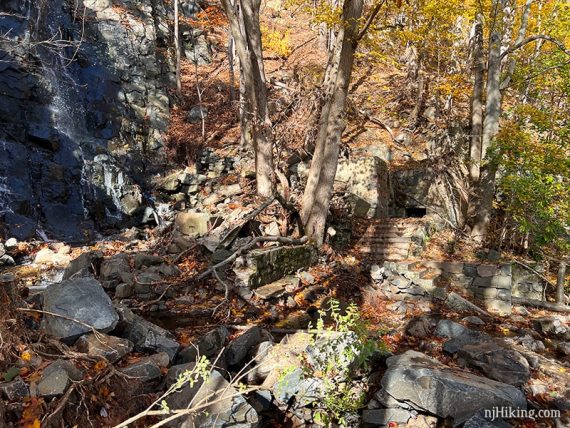
Climb down the ruin’s stone steps to see the falls from other angles.
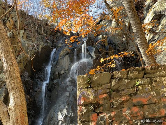
Fun Facts: The stone walls and steps are the remains of an Italian garden built by Mary Lawrence-Tonetti in the early 1900’s when this area was privately owned. There once was a pool at the base of the falls and a pergola that supported a grape arbor. [Source/Read more: “The Cascade” via njpalisades.org]
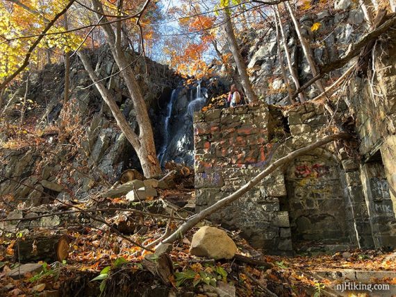
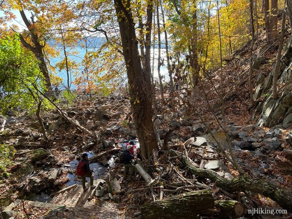
From the falls, the stream continues to the Hudson River. The area was rather wet the last time we hiked here and required picking a way on logs and rocks.
Cross the stream to get around to the front and side views of the whole falls.
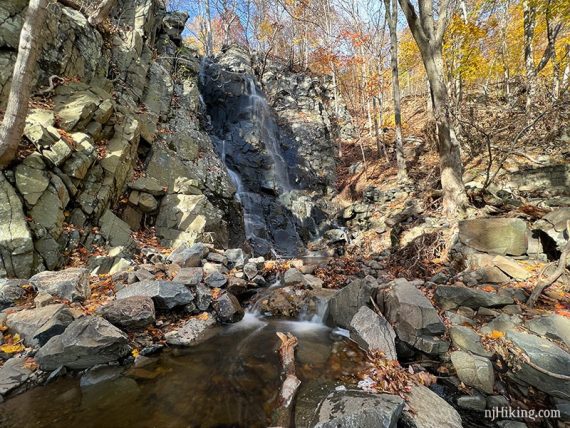
Looking back at the building ruins with the falls to the left.
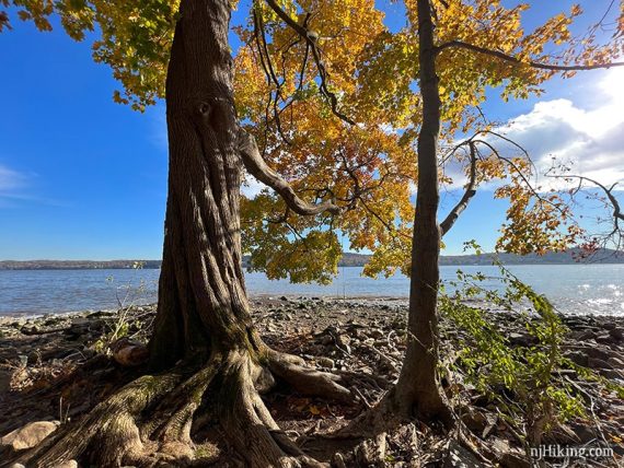
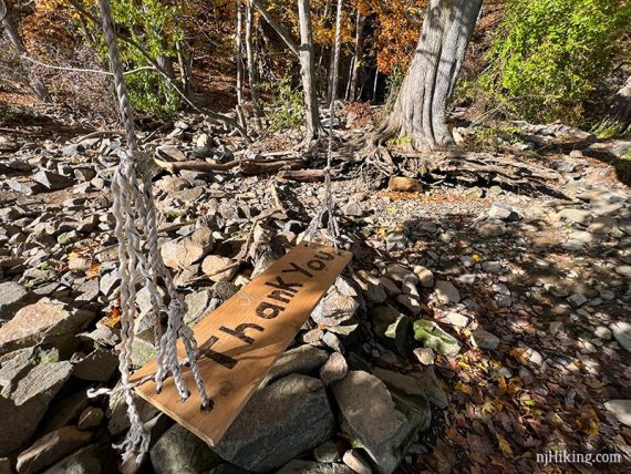
Tucked away near the shore line is a cool little swing hanging from a tree with prominent roots. It’s not exactly obvious unless you walk over to the shore from the falls. (Update: This swing might be gone now.)
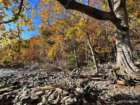
The old and nearly rotted seat had been replaced since the last time we were here – perhaps that is what the “thank you” is for.
There is a wide open – and rocky – area around the swing. The bridge can be seen to the north.
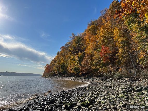
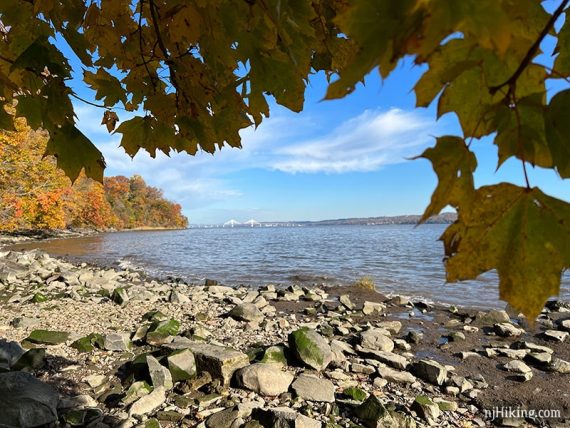
When ready, turn around and retrace the route back to the parking lot.
// Longer: Shore (WHITE) continues past the falls, hugging the shore. In a little less than a mile it reaches the Giant Stairs, a challenging rock scramble that should only be attempted by experienced and prepared hikers. //
—
Hiked: 11/13/21.