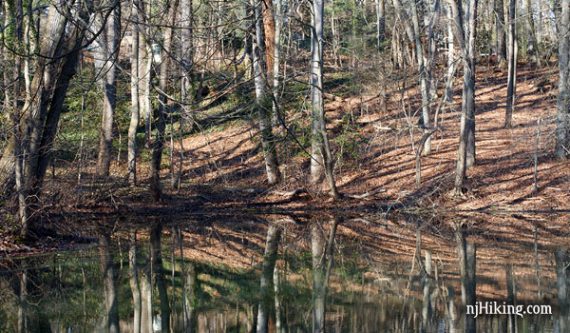
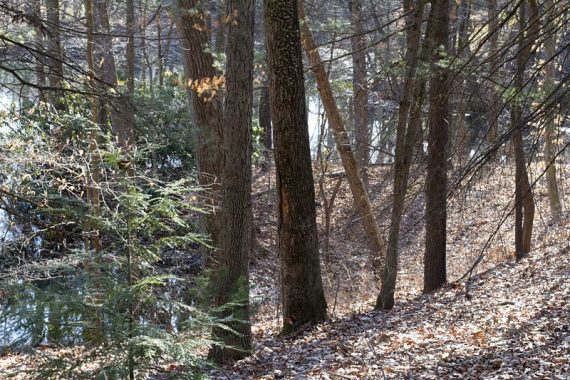
A U-shaped wooded area that surrounds the town of Wenonah.
6.0 miles. Easy to moderate, packed dirt with roots, only some rocks.
- This route: 6.0 miles. [this is by combining every trail in the park]
- Shorter: 5.0: skip the loop around Wenonah Lake and the Monongahela Brook Loop
- Short: Most of the trails are under 1-mile as described on the trail map
- Longer: This is pretty much it, though the trails could lead to more areas not on the map.
- Nearby: Tall Pines Preserve (can link with a short road walk).
- Nearby, within 20-30 min: Saddler’s Woods, Scotland Run Park; Black Run Preserve; Parvin State Park.
Hike Info:
Our two cents:
Break Back Run Trail is the most hilly and rugged, but still not a difficult trail. Some sections are crossed on wooden blanks, and there were several muddy areas.
Trails aren’t blazed, but marked with signposts at intersections. The are extra trails coming into the main one throughout the park, but it’s usually mostly obvious which path to stick to.
There are a few spots that it was a little difficult to figure where to go next, so we recommend having the trail map.
Updated: 5/2020: Page refreshed, not re-hiked.
Map:
Print from the park site. There were no paper maps available along the trail, pick one up at the town hall or send for one (instructions on the map page).
Books:
Doesn’t seem to appear in any of the hiking books we have.
Parking: N39.79871° W75.15231°
Wenonah Lake lot. Basic directions below; please check from your location:
From the south: Rt. 55 N to exit 53, take Rt. 533 towards Wenonah. Left on Maple Ave. Just after Jefferson Ave, turn right into the lot next to Wenonah Lake.
From the north: 295 S to exit 24A for Rt. 45S. Left on Parkville Station Rd. (this should be a jughandle turn), Left on Ogden Station Rd which becomes Maple Ave. Just after Wenonah Lake, turn left into the lot.
Restrooms:
None provided. Potentially ones at Wenonah Lake in season.
Hike Directions:
Overview: Wenonah Lake Trail – Break Back Run Trail – Mantua Creek Trail – Monongahela Brook Trail – Eldridge Trail – Monongahela Brook Loop Trail – Eldridge Trail – Comey’s Lake Trail – Eldridge Trail – Monongahela Brook Trail – Mantua Creek Trail – Break Back Run Trail
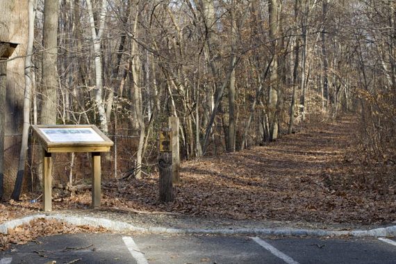
This route starts at the far end of the parking lot by the trail sign.
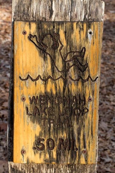
0.0 – Follow the woods road a bit, then turn LEFT at the trail sign.
The trail goes around Wenonah Lake, utilizing foot bridges over wet areas. There are a few other trails joining up; stick to the trail that hugs the lake.
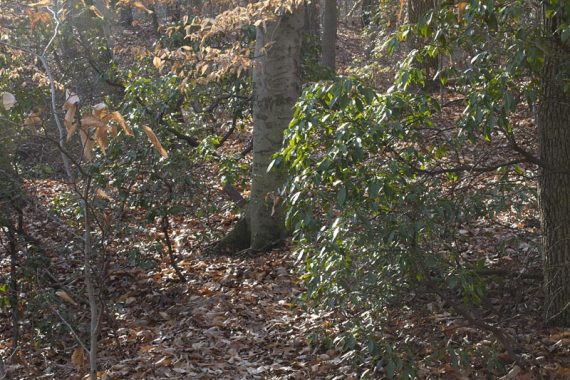
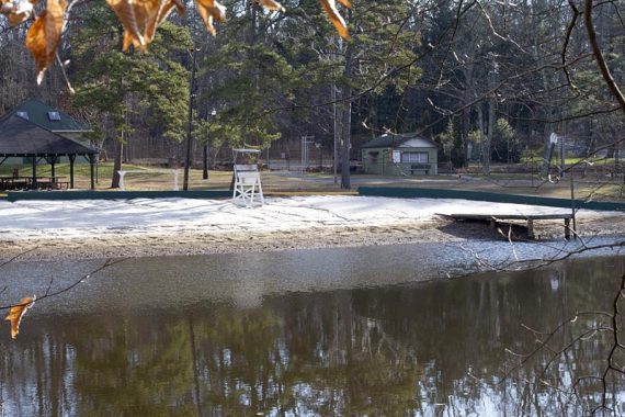
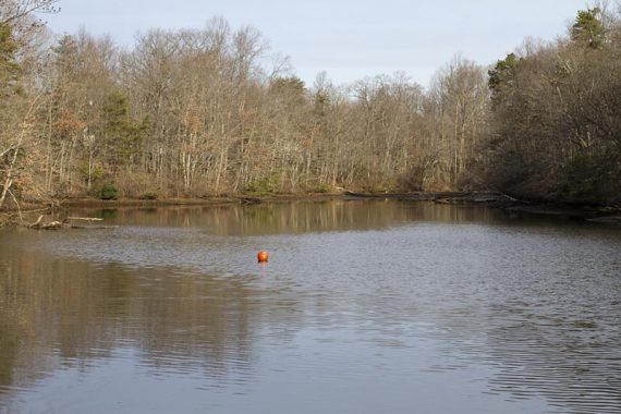
0.5 – End up back on Maple Ave, at a dam. Cross the road to pick up the Break Back Run trail, marked with a wooden post.
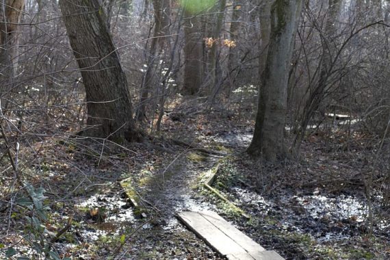
///Variation: skip going around the lake and start at Break Back from the parking lot
This is the hilliest area of the park.
1.0 – Arrive at a paved road (Hayes Ave. on the map, not marked on-site): Turn LEFT onto the paved road and follow it out to the street, W. Mantua Ave.
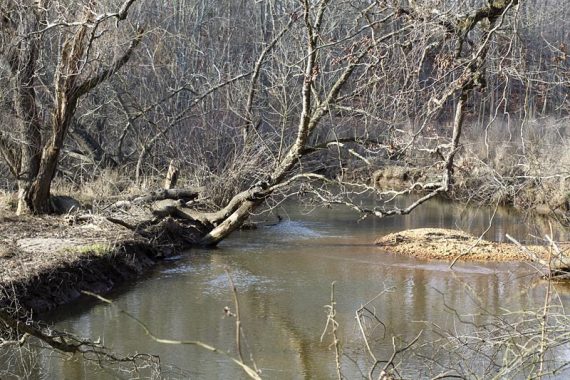
Turn RIGHT onto Mantua and walk down a bit and cross the road to the trail marker on the other side. This is the start of the Mantua Creek trail.
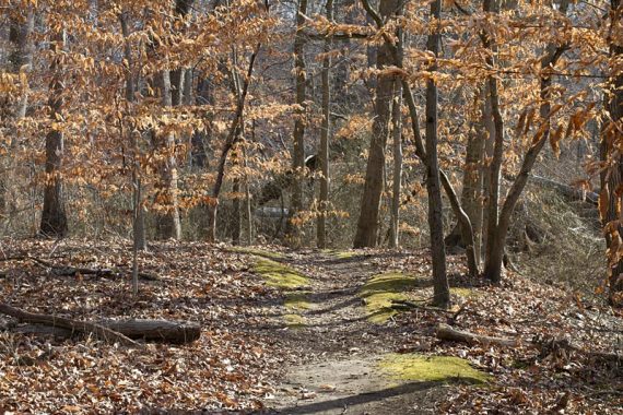
[This area was unclear. The trail ends at the pavement with no markings other than a trail post indicating there is a trail where you are.
The map shows the path crossing Hayes Ave, heading towards the creek then turning left to cross W. Mantua Ave.
So we walked over to the small utility building and followed the wide path behind it that matched the direction of the map.
This lead to Mantua Creek but we did not see a path to take left – it seemed like we’d have to walk right through someone’s yard. So we backtracked and did the above.]
1.1 – Start of the Mantua Creek Trail, at W. Mantua Ave.
1.8 – Continue straight, passing a trail coming in from the left. Cross over a stream on a plank.

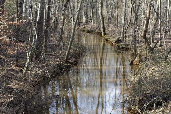
1.9 – Turn RIGHT at the T-intersection, above is a raised railroad bed. Follow along this until coming to a trestle bridge.
2.1 – Trestle bridge. Walk under and around it, the trail continues heading back on the other side of the raised railroad bed.
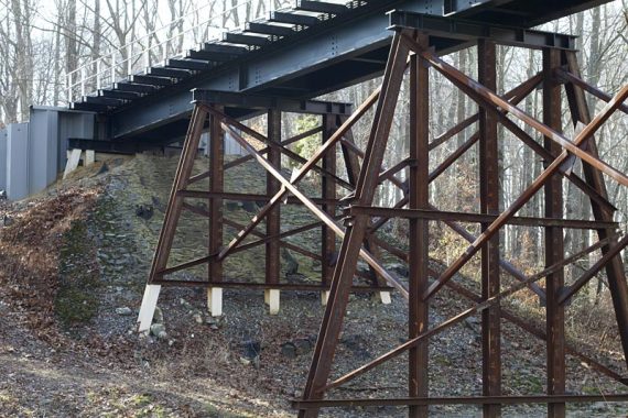
2.2 – Trail signpost: Continue straight to Marion St., now on Monongahela Brook Trail. [not left to which leads to Clinton St.]
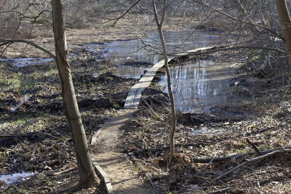
2.4 – Cross a road [South Marion Ave.]
2.6 – Turn RIGHT at the T onto the Eldridge Trail. [Eldridge also continues left, which is the return route]
Shortly, continue straight on Eldridge Trail [not right which leads to Indian Trail street]
2.7 – Turn RIGHT onto Monongahela Brook Loop. Follow this short loop around the brook.
///Alternate – skip the loop and continue straight, staying on Eldridge. You won’t miss anything stunning.
3.1 – Turn RIGHT back onto Eldridge Trail.
3.3 – Arrive at pretty Comey’s Lake.
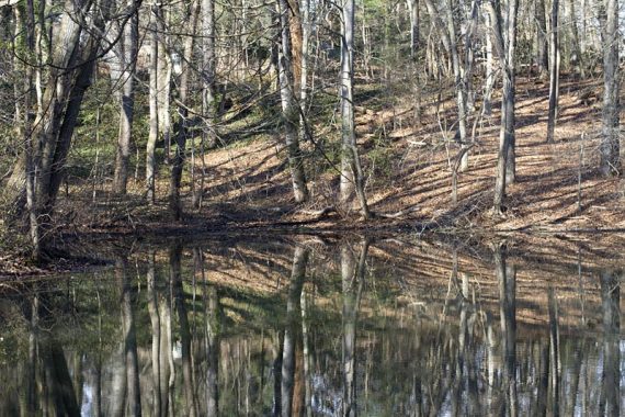
A viewing deck is off to the left, and there is a stone bench. Turn RIGHT and follow the trail along the lake. [there are two paths, just take the one closer to the lake, they meet up)
3.5 – A small structure called the Tea House.
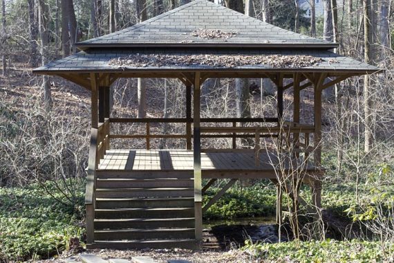
Some steps and building remnants from the Richard H. Comey Estate as well. Come back from the Tea House and cross over the water to the other side of the Lake and continue on the trail.
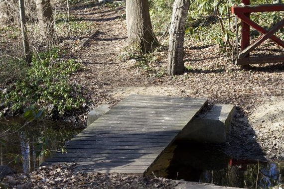
There are a few paths that lead out to the neighborhood, ignore them. At the stone steps, turn left onto them but don’t go down – instead make an immediate right and continue on the trail.
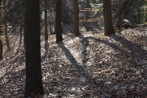
3.7 – Arrive at a house and street. Turn RIGHT to get off the trail, then LEFT to go towards the street.
At the street, turn RIGHT and walk down the street just a bit. The road curves, then turn LEFT to head back into the woods at a large sign for “Eldridge Trail”.
Go over water on a small plank bridge.
3.9 – Arrive at the Eldridge/Monongahela Brook intersection from earlier. Turn RIGHT and retrace the route back to the lot.
—
Hiked: 1/8/12 – Trail Blog: “The Woods of Wenonah“