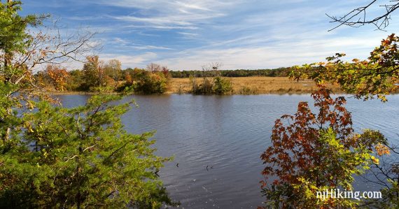
Short, pleasant loop through pine barrens along the bluffs by the Maurice River.
2.6 miles. Easy. Trail surface is soft, pine needle covered, rock free, and somewhat sandy.
| 2.6 miles | This hike guide: Detailed instructions, photos, and video follow below. |
| Longer | Do the entire preserve for a 5.2 mile hike. |
| Very Nearby | Drive to the other side of the river to explore Peek’s Preserve. |
| Nearby | Commercial Township Wetlands; Parvin State Park; Belleplain S.F. – East Creek and Sunset Road Loop; Belleplain S.F.; Estell Manor Park. |
Our two cents:
Easy trails in view of the scenic Maurice River. Note: This route predates the addition of the ORANGE and the YELLOW trails so neither are included in our hike description.
Updated: 1/2025: Minor edits, not re-hiked. Older change log at page bottom.
Hike Info:
Map/Books:
Trail map is on the park site. Follow along on your smartphone with our Interactive Map link above. A longer hike now is in Best Day Hikes in New Jersey.
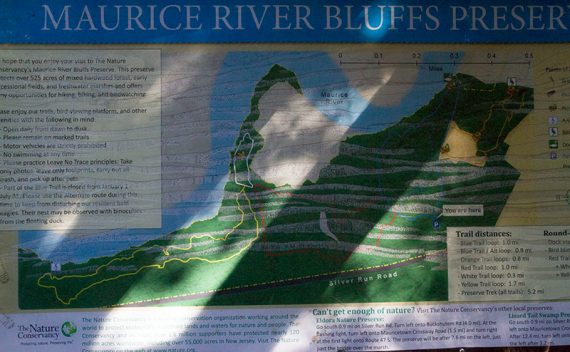
Parking: N39.35351° W75.03654°
Maurice River Bluffs Preserve, 1311 Silver Run Rd, Millville, NJ 08332. Note: This street number on Silver Run Road is the closest to the entrance, but Google etc might direct down the street. Dirt driveway with sign for the park.
Restrooms:
None. Best bet is to try the town of Millville on the way.
Hike Directions:
Overview: BLUE – RED – WHITE – RED – BLUE
0.0 -Head into the woods from the lot, and almost immediately take a LEFT at the T-intersection to follow BLUE.
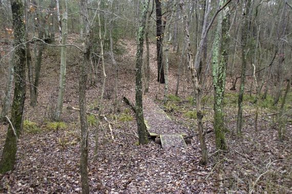
0.1 – Now follow the RED trail straight. BLUE goes to the right.
0.6 – Turn RIGHT onto a woods road and continue following RED. [The woods road also continues to the left and will end up at the road.]
0.8 – Go straight to now follow WHITE for a loop by the river. [The RED trail goes to the right.]
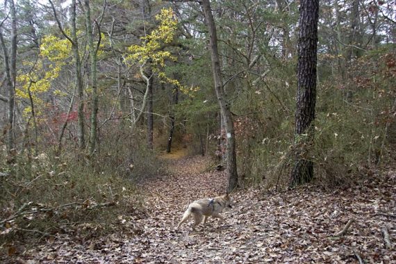
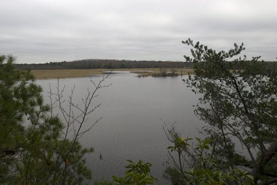
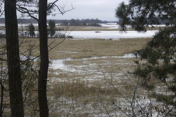
Follow WHITE around, down a small hill, to where there is just strip of land with water on both sides, then turn back and loop around.
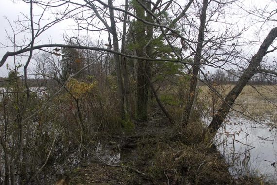
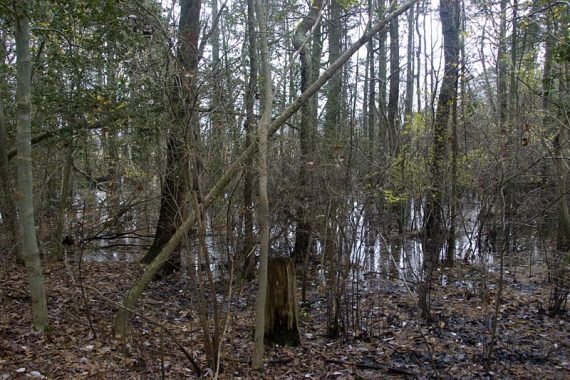
1.3 – End up where you picked up the WHITE to start with, at the junction with RED. Turn LEFT and now follow RED, head down a slight hill and make a quick RIGHT.
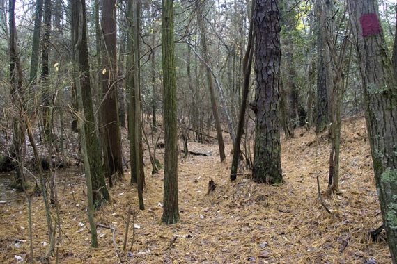
1.7 – RED trail ends at the BLUE trail. Turn LEFT and now follow BLUE (it also goes straight).
2.0 – Continue following BLUE straight down wooden stairs. It also goes right, an alternate route. [A segment of BLUE is closed Jan thru July to protect bald eagles, and an alternate BLUE can be used].
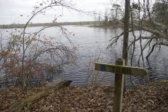
2.2 – Follow BLUE down to a floating dock with a nice view of the river.
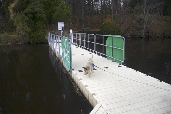
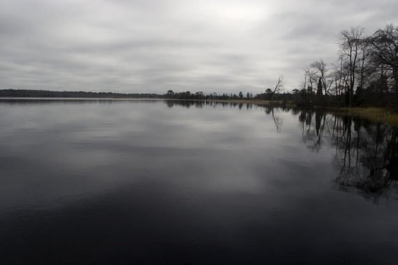
Follow the BLUE trail from the dock along a woods road. Be sure to keep off the private residence, it’s posted.

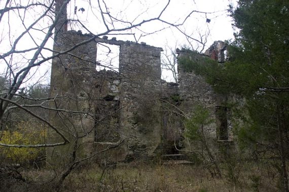
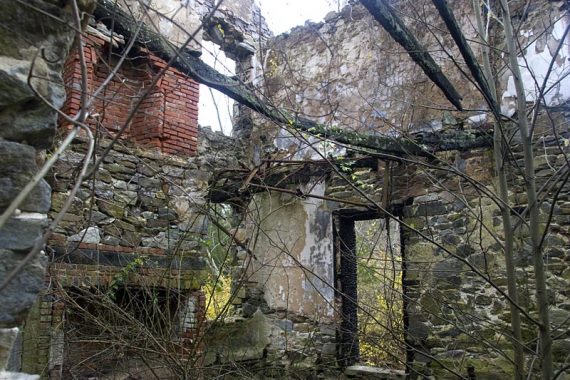
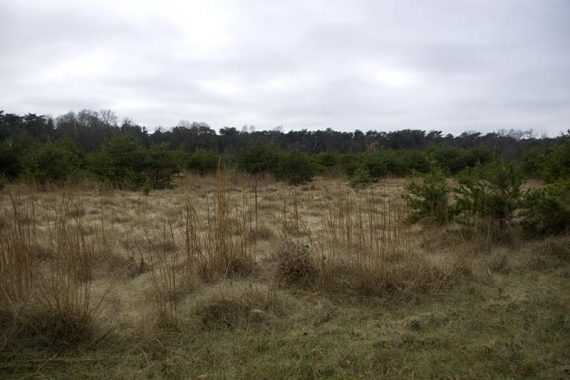
The woods road is not marked BLUE much, and passes an old truck, the remains of a building, and a field before arriving back at the lot.
—
Hiked: 3/19/17. Variation; ~3.2; BLUE-RED-YELLOW.
Hiked: 10/11/15. Variation; “Maurice River Bluffs in the Fall”.
Hiked: 11/15/09. Trail Blog: “Maurice River Bluffs and Parvins State Park“
Updated: 5/2024: Page refreshed, not re-hiked. 5/2020: Page refreshed, not re-hiked. 10/2015: There is now a 1.7 mile YELLOW loop off of the WHITE trail. We did a variation of this hike and the route described below was not exactly re-hiked and could be out-of-date. 11/2010: There is a new ORANGE trail.