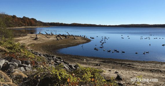
Easy and scenic stroll around the Manasquan Reservoir.
6.9 or 5.1 miles, total round trip. Easy; level; small crushed gravel. Perimeter is a multi-use gravel trail. Cove and Bracken are hiking trails but not hard.
| 6.9 miles | This hike guide: Perimeter, Cove, Bracken loop. Detailed instructions and photos follow below. |
| Shorter | 5.9 – Perimeter and Cove trails, no Bracken. 5.1 – Only the Perimeter Trail loop. – or do a shorter out-and-back section along any part of the loop |
| Longer | 8.3 – Add an out-and-back on the Bear Swamp connector (1.4 miles total) to a loop with Perimeter, Cove, Bracken trails. |
| Nearby | Turkey Swamp County Park; Monmouth Battlefield; Allaire State Park; Shark River Park; Forest Resource Education Center. |
Our two cents:
Easy but packs in a lot of nice scenery all along the way. Perimeter trail is more of a walk than a hike in our opinion but very worthwhile.
You may be sharing the trail with bikes and horses. Nice displays and critters in the Enviro center.
We’ve always started at the Enviro Center and gone clockwise to put the road adjacent section out of the way first.
This hike is a circle so adjust accordingly if you want to go counter and/or start at the visitor center or Chestnut Point lot.
Updates: 10/2024 – Re-hiked Perimeter Trail only; minor edits. Older change log at page bottom.
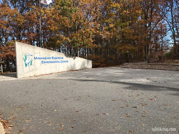
Parking: N40.17760° W74.22020°
“Manasquan Reservoir Environmental Center”, 331 Georgia Tavern Road, Howell 07731. Rt 9 south from Freehold to Georgia Tavern Rd. Take the jughandle to turn left onto Georgia Tavern Rd. for a mile. Enviro Center parking is on right.
Or turn R on Windeler Rd to start at the main visitor center. Just a bit further down Georgia is the Chestnut Point lot.
Hike Info:
Map:
Print out ahead from the park site, or may be in the kiosk in the lot if the center isn’t open. Follow along on your smartphone with our Interactive Map link above.
Restrooms:
In the environmental center beyond the parking lot, a few portable toilets along the way, and also in the visitor center near the boat launch (locations marked on trail map).
Hike Directions:
Overview: Clockwise on Perimeter Trail – Cove Trail – Bracken
Shorten as needed; options noted below. Note: trails here are marked by difficulty and not blaze color, green is easy, blue is moderate.
0.0 – From the Enviro lot, walk back out the driveway towards Georgia Tavern Road. Turn RIGHT and start following the Perimeter Trail.
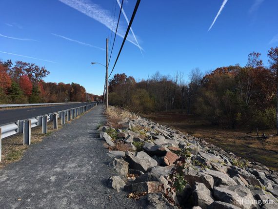
0.7 – Continue following the Perimeter trail as it turns right and heads away from the road.
There are no other trail intersections for awhile – just keep truckin’ around the reservoir.
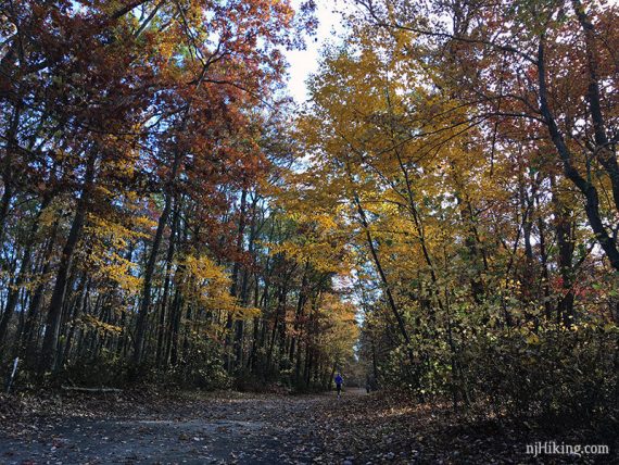
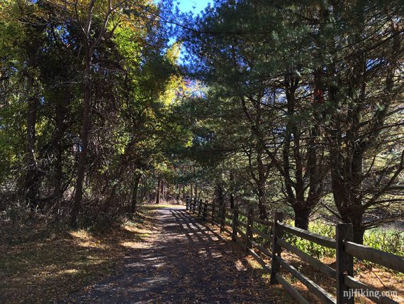
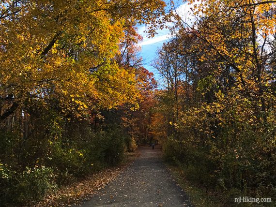
The trail varies between forested and open areas with views of the reservoir.
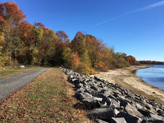
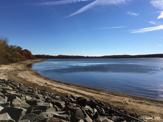
2.1 – Continue following the Perimeter trail as it turns right and starts to parallel Manassa Road.
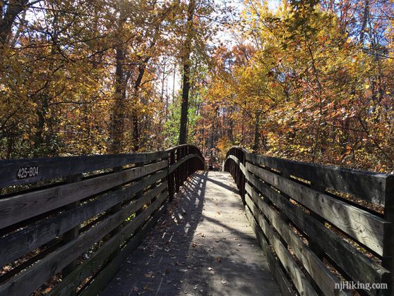
3.2 – Continue following the Perimeter trail as it turns right near a trail kiosk. [for Bear Swamp Connector trail, across the road]
Pass the Wetland Spur on the right that leads to the visitor center.
3.9 – Cross the driveway for the main visitor center.
4.8 – Cove starts to the left, Perimeter continues to the right.
Turn LEFT to now follow the Cove trail – but before getting on Cove, continue to the right a bit on Perimeter for a view of the reservoir and then come back.
// Shorter Option – Instead, stay on Perimeter to cut Cove and about a mile off the route. //
Continue following Cove, a regular forested trail.
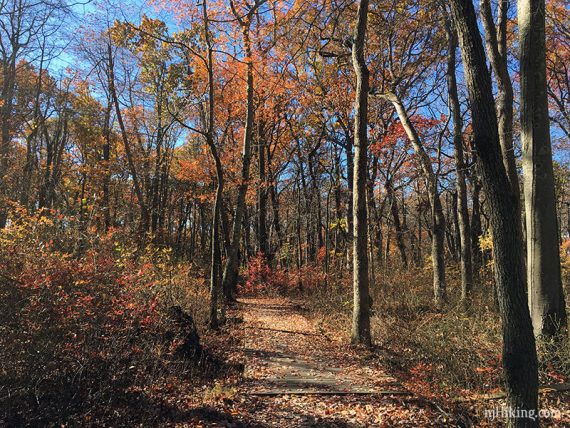
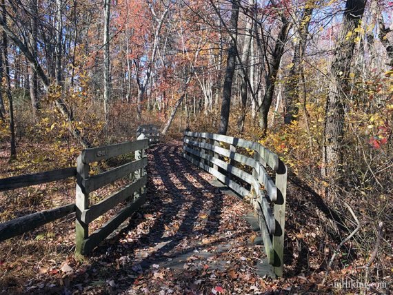
5.4 – Continue following Cove. Turn RIGHT and follow a short unmarked trail out-and-back to a wildlife blind and views of the reservoir.
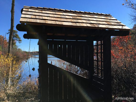
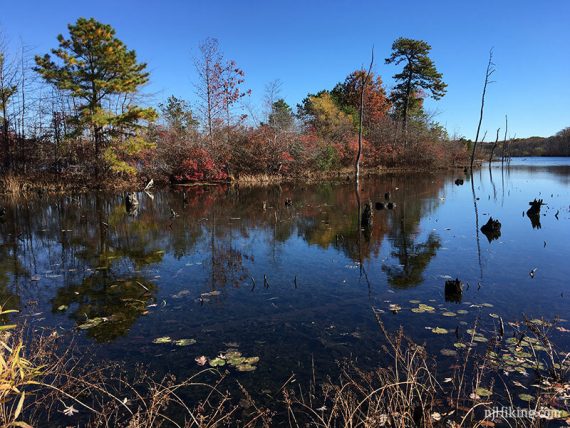
6.0 – Cove ends at the Perimeter trail, start following Bracken ahead [Perimeter goes left].
Continue ahead out to the water’s edge on Bracken (not marked as such) and then over to the Enviro center.
// Variation – Instead take Perimeter to go directly back to the lot //
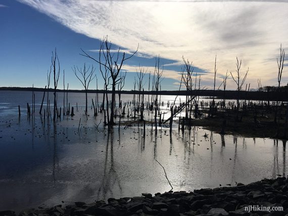
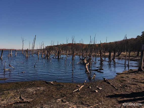
From Bracken there are many partially submerged dead trees visible.
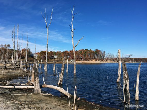
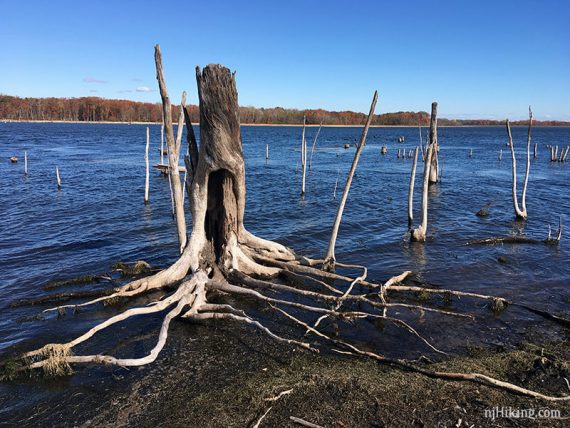
6.5 – Back in the parking lot, pick up Bracken again to the left of the large sign for the Enviro center.
// Variation – Instead, skip Bracken and end the hike in the parking lot, reducing the hike by 0.5 mile //
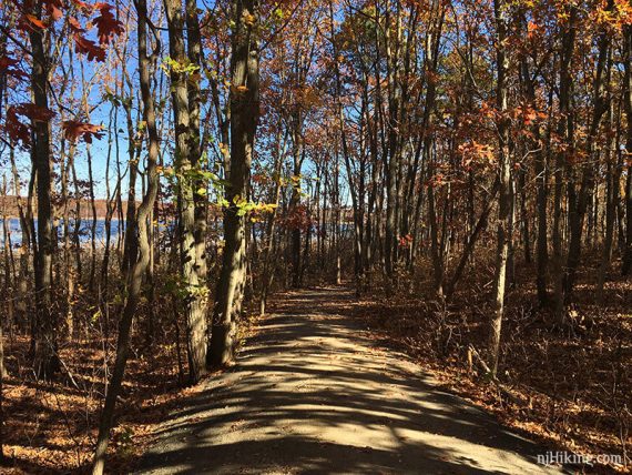
Bracken is a short trail down to the water’s edge with a few view spots along the way. We usually walk through the Enviro center on the way back to the parking lot.
—
Hiked: 10/27/24. Perimeter.
Hiked: 2/6/22. Perimeter + Bracken; not Cove.
Hiked: 11/16/16.
Hiked: 3/26/11. Trail Blog: “Manasquan Reservoir in March“
Updates: 2/2022 – Re-hiked Perimeter/Bracken; minor edits. 12/2021 Minor edits; parking; restrooms; not re-hiked. 4/2020: Page refreshed, not re-hiked. 12/2016 – Photos, description, and GPX added; loop option mileages adjusted.