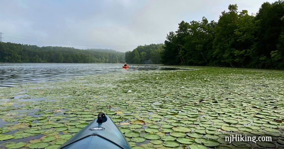
Easy paddling on the deepest natural lake in New Jersey.
Small lake with an easy launch and the chance to see small airplanes taking off and landing at a local airport.
Miles: 2.6. Perimeter of the lake; a bit more if the water levels/vegetation at the far end allow for navigating up the creek. Lake Size: 119 acres. Average Depth: 40′.
- Park Info: Kittatinny Valley S.P.
- Nearby kayak: Twin Lakes (within the park); White Lake Kayak.
- Nearby, same park: Kittatinny Valley State Park
- Nearby: Paulinskill Valley Trail – Cedar Ridge to Aqueduct; Paulinskill Valley Trail – Warbasse Junction to Cedar Ridge; Great Valley Trail Loop. Allamuchy Mountain S.P. North; Allamuchy Pond Trail; Swartswood S.P. – Spring Lake; Swartswood Grist Mill.
Our two cents:
Pleasant short paddle with a very easy launch area. A small airport is located within Kittatinny Valley State Park so you may luck out and see small planes coming in and out.
The launch was a bit crowded when we were getting out at the same time as a rental company was setting up (~9:45 ish on a Sunday).
Bonus: Lots of hiking and biking (both rail trail and mountain) available in the park too.
Fun Facts: The deepest natural lake in New Jersey with a depth up to 110′ feet. Formerly known as New Wawayanda Lake. [Source: Park website].
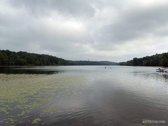
Parking: N41.00954° W74.73387°
Limecrest Road & Lake Aeroflex Road, Andover Township, NJ 07860. If approaching from Rt. 206 N, turn R on Limecrest Road just past a gas station. After about a mile turn L into the entrance for Lake Aeroflex at the intersection of Limecrest Road & Lake Aeroflex Road.
Note! If the name of the lake or park is entered for GPS or online maps it might direct to the main entrance for Kittatinny Valley State Park… but the park road doesn’t connect to the kayak launch due to the airport runway. Be sure to approach via Limecrest Road.
Pass the parking lot on the right to drop the boat at the launch, then return to the lot to park.
Restrooms:
Bathroom building off of the parking lot (likely seasonal and not open until 8 am). Gas station at the corner of Limecrest & Rt. 206, QuickChek etc along Rt 206.
Kayak Rentals:
The website for nearby Andover Hunt & Fish lists single and double kayaks as well as paddle boards for rent. Contact them for more info and availability etc.
Book:
Appears in Quiet Water New Jersey (2010).
Note: Our go-to kayaking book is Quiet Water New Jersey (2010), available as an e-book or a used printed book.
The newer version is “Quiet Water Mid-Atlantic (2018)”. This contains 13 of the 52 locations in the New Jersey-only book and is available both in printed and online formats.
Related: Kayaking NJ overview page.
Launch:
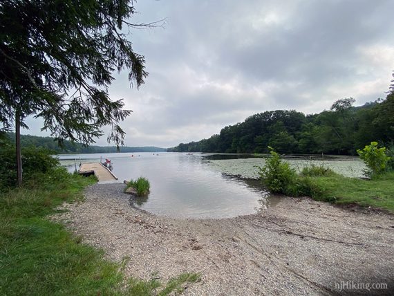
Easy peasy wide sand and gravel area with a gradual grade into the water and no rocks or obstructions to deal with. There is also a dock.
The Route:
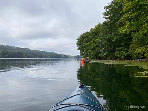
We went counter-clockwise around the lake but one way isn’t better than another. We encountered a lot of early morning fog.
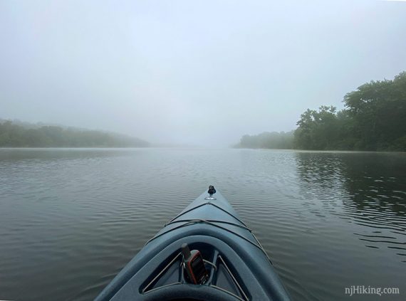
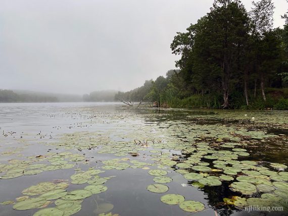
Meandering along the shore through some lily pads and more fog. For the most part the lake has a remote feel.

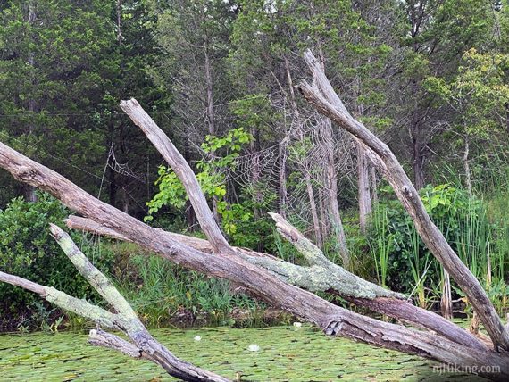
A large fallen tree was sporting an impressive spider web.
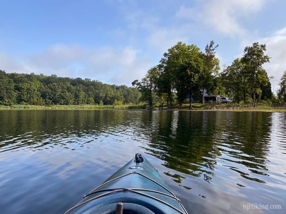
Eventually the lake narrows and bends so that it almost looks like it ends – but it doesn’t. Pass under power lines.
There are just a few houses along the lake. The area to the left of this house is where a creek flows into the lake. This was too thick with vegetation but if conditions are more favorable it may be paddled up a bit.
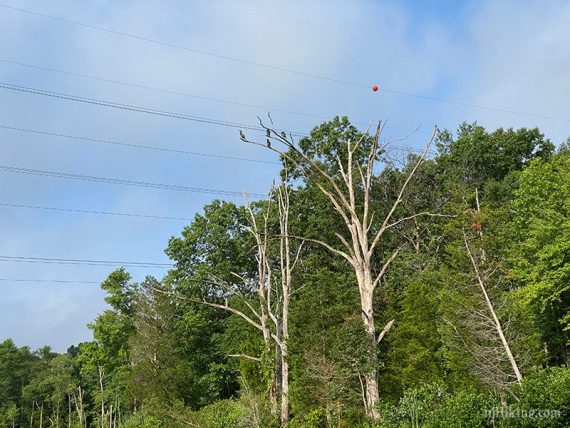
After rounding around the end of the lake, pass back under the power lines. Cormorants were hanging out in some dead trees.
After the power lines, the hiking trails at Kittatinny Valley State Park are just beyond the trees on the western shore of the lake.
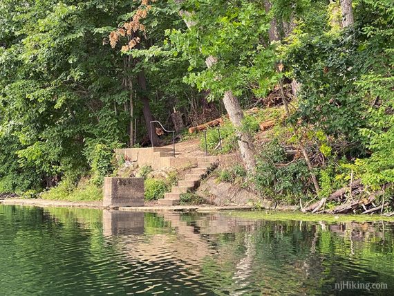
Eventually pass the remains of old park structures like these concrete steps going down to lake level.
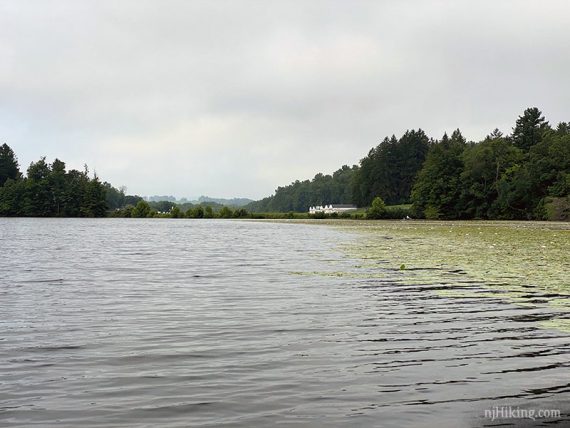
Aeroflex-Andover Airport comes into view when returning to the launch.
—
Kayaked 8/9/20.