Hiking to the famous swinging bridge located at Institute Woods in Princeton, New Jersey.
We first did this short hike last winter (“Cold February Day at Institute Woods and Princeton Battlefield“) but wanted to come back when everything was in bloom.
Updated 6/2024: Minor edits, added enhanced guide, re-hiked.
What a difference some green leaves make.
New! Downloadable Swinging Bridge Guide and Map!
Get our enhanced guide! This features an exclusive, easy to understand trail map plus turn-by-turn hike directions with photos at key intersections, parking and restroom info, and hike photos. Print out or use on a mobile phone.
We did the exact route as before, starting at the Princeton Battlefield State Park lot and walking past Clarke House before turning at the stone marker and heading towards the Stonybrook Meeting House.
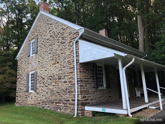
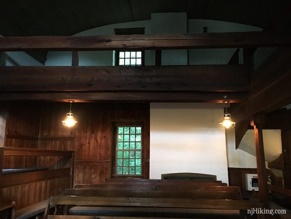
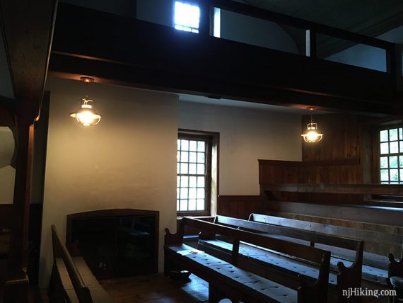
Just as we wandered over, a man was coming to open it up for their Sunday gathering and invited us in.
** For a longer hike that includes the swinging bridge, see our Institute Woods and Princeton Battlefield hike guide **
The building was built in 1726. There is also an adjacent cemetery.
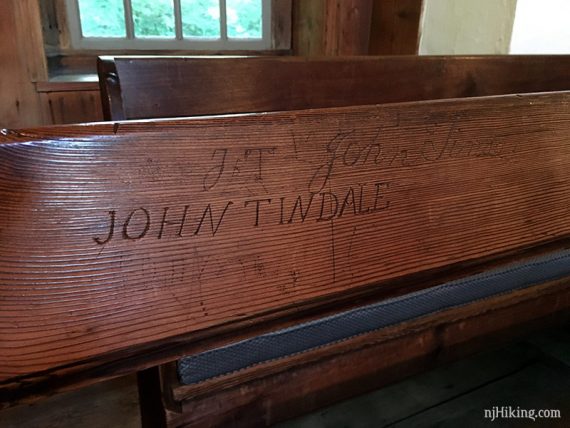
Fun Facts: Institute Woods is part of Institute for Advanced Study where Albert Einstein was a faculty member from 1933 until his death in 1955, and J. Robert Oppenheimer was director from 1947 to 1969. Both men enjoyed walking the trails of Institute Woods.
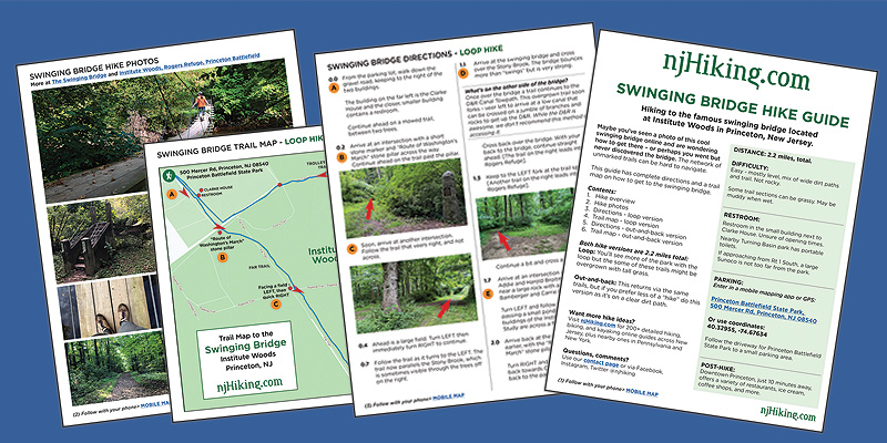
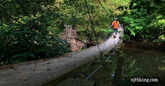
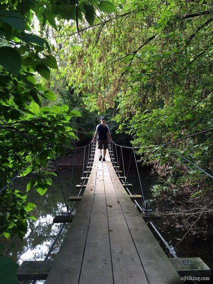
We made our way over to the swinging bridge that crosses Stony Brook.
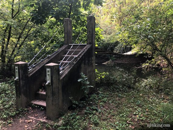
Fun Fact: In 1950 J. Robert Oppenheimer dedicated a Founders’ Walk which included the construction of trails and a swinging bridge. [Source: IAS site].
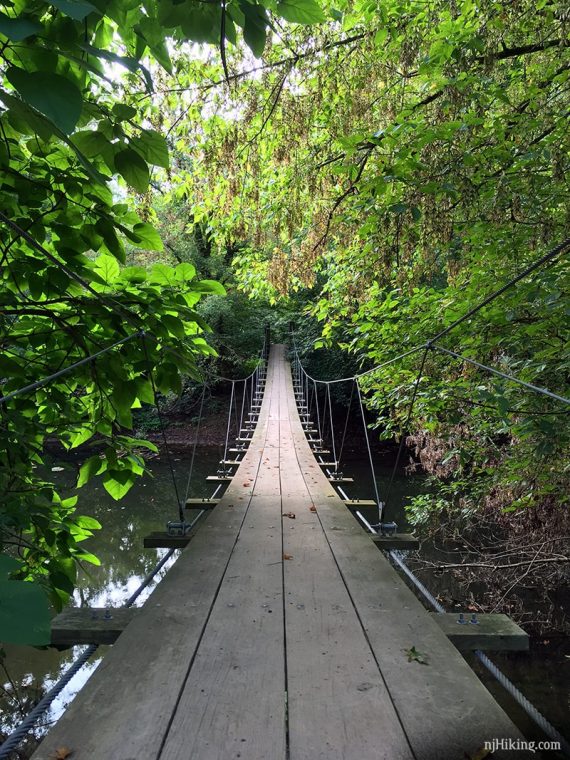
Such a different scene with leaves on the trees. The suspension bridge in winter vs in September:
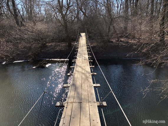
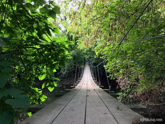
Is this Princeton or the Amazon jungle?…
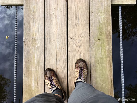
Looking down at the bridge:
We crossed over and then back but you could link up to another trail in Rogers Refuge or continue to the D&R Canal towpath (though the trail is overgrown and requires crossing a canal on sticks/rocks – we don’t recommend it.)
A pond and the buildings of the Institute appear across a field.
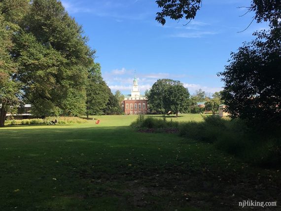
Fun Fact: The movie Oppenheimer contains several scenes filmed on location at the Institute, including ones with Einstein and Oppenheimer by the pond. The pond is on the left of the photo below but in the movie the characters are on the other side, with the buildings at their back. [See: “Oppenheimer’s legacy brought Christopher Nolan to N.J. Inside the institute he called home” via nj.com]
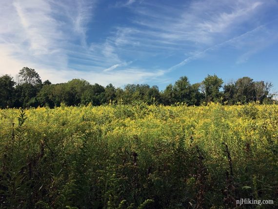
Eventually we ended up back in Princeton Battlefield State Park. What was a big open field last time was now full of grasses and wildflowers.
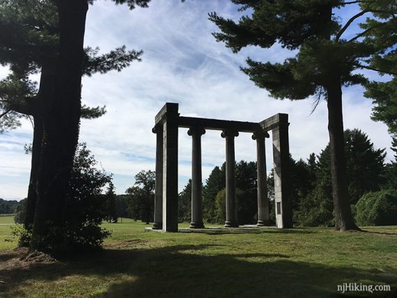
Nice blue sky and wispy clouds today to frame the columnade.

We noticed a sign along Mercer Road that “Young Patriot’s Day” was the following weekend. This is a day with activities for kids about colonial life and the Revolutionary War.
Miles: 3.6
Post hike: Pumpkin cream cold brew. While we actually hit “peak pumpkin” a few years back and are no longer on the PSL train, we’re kinda diggin’ the cold brew version.
Besides – the more pumpkin items you consume, the longer and more vibrant the fall foliage season is. Pretty sure that is how fall foliage works, right?
Hike Directions to the Swinging Bridge (2.2 miles):
Where is the Swinging Bridge Trail?
The swinging bridge is in Institute Woods but the parking lot is at Princeton Battlefield State Park. This suspension bridge crosses Stony Brook and is tucked away at the back of Institute Woods along the River’s Edge Trail.
Parking: 40.32955, -74.67634
500 Mercer Rd, Princeton, NJ 08540. The parking lot is for Princeton Battlefield State Park.
Route 1 – South of New Brunswick area; R on Alexander Road exit; L on Mercer St.; L into park entrance. Small gravel lot with a trail kiosk.
Restrooms:
Restroom in the small building to the right of Clarke House. Unsure of opening times – didn’t notice this the other times we’ve been here.
Nearby Turning Basin park has portable toilets. If approaching from Rt 1 South, there is a Sunoco not too far from the park.
How do I get to the Swinging Bridge?
Maybe you’ve seen a photo of this cool swinging bridge online and are wondering how to get there – or perhaps you went but never discovered the bridge. The network of unmarked and not-well-marked trails can be hard to follow.
We’ve had requests for a shorter version of our original Institute Woods and Princeton Battlefield hike guide that goes directly to the swinging bridge. It’s a 2.2 mile round-trip loop – and we even made you a map!
Use our Swinging Bridge Interactive Map to follow along on your phone or get our downloadable guide with a detailed map.
From the parking lot, walk down the road and pass the Clarke House. Continue ahead on a mowed trail. Follow the Far trail to Rivers Edge trail. Turn left and follow Rivers Edge to the swinging suspension bridge.
Head back on Founder’s Walk until it ends at Trolley Track. Turn left and take Trolley Track back to the mowed trails near Clarke House and return to the parking lot.
New! Downloadable Swinging Bridge Guide and Map!
Get our enhanced guide! This features an exclusive, easy to understand trail map plus turn-by-turn hike directions with photos at key intersections, parking and restroom info, and hike photos. Print out or use on a mobile phone.
—
Hiked 6/9/24.
Hiked 9/15/19. With the full loop.
Hiked: 2/3/18. With the full loop.
5/2021: Added Directions and map for a short hike to the swinging suspension bridge.
