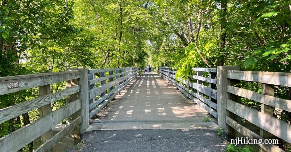
A mostly shady and paved rail-trail with just a few minor hills from Marlboro to Freehold.
Miles: 12.7 or 9.8. Paved, a few bumps from roots. Mostly level, some gentle hills.
| 12.7 miles | This biking guide: Detailed instructions, photos, and video follow below. |
| Shorter | Simply turn back sooner. 9.8 – Start at Dutch Lane Rd lot and turnaround before Big Brook. |
| Nearby biking | Henry Hudson Trail – Marlboro to Matawan; Henry Hudson Trail and the Bayshore Bike Trail. |
| Nearby hiking | Holmdel Park; Holmdel Park – Ramanessin; Thompson Park – Monmouth. |
Our two cents:
Easy ride or walk for the most part, though the occasional bump in the asphalt can be hard to spot. Suitable for strollers, possibly OK for wheelchairs. Decent amount of shade.
The first section in Big Brook has minor hills – if that’s a concern then start at the parking lot at the other end at Dutch Lane Rd. and turn around before Big Brook.
Updated: 9/2025 – Minor edits, added photos, added trail extension and new parking area (adds 1.0 mile round trip to route), removed notes about rough surface sections in Big Brook (no longer); re-biked. 5/2021 – Added interactive map, photos and adjusted description, moved older photos onto a trail blog.
Parking: N40.33472° W74.23519°
521 County Rd 520, Marlboro, NJ 07746. Within Big Brook Park.
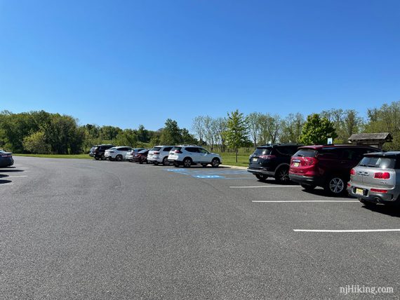
If approaching from Rt 18 S, take exit 29 for Rt 520 (toward Tennent/Red Bank). Continue east on 520. About a half mile after crossing Rt 79, the entrance to Big Brook Park is on the right. A large paved lot for Henry Hudson is soon after the entrance, on the right.
Also a lot near the other end: 119 Dutch Lane Rd. Freehold, NJ 07748.
There are three separate sections of the Henry Hudson Trail, one north and two in the southern portion. The Bayshore Trail is at the eastern end of the HHT.
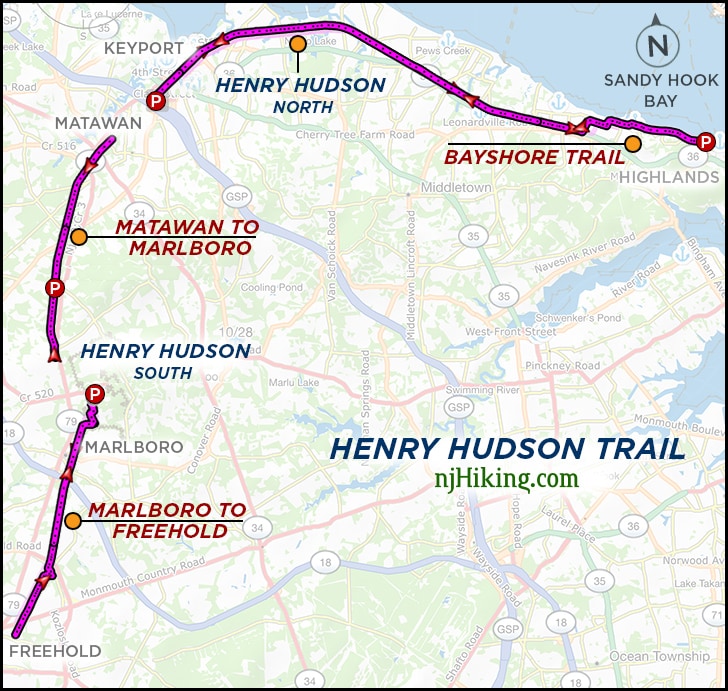
Related: Henry Hudson Trail overview page.
Restrooms:
Portable toilet in the Big Brook parking lot, and the Jackson St. lot at the end of the trail. Did not spot any others along the way.
Biking Info:
Trail Maps/Books:
Follow along on a smartphone with our Henry Hudson Marlboro to Freehold Interactive Map. The park site has maps; use both Big Brook and Henry Hudson. There are usually paper maps in the trail kiosk.
Appears in Rail-Trails New Jersey & New York.
What type of bike to use for rail-trails?
Overall, a hybrid bike is good. This bike type works for flat dirt trails as well as asphalt (but maybe not on true mountain bike trails).
Gravel bikes and mountain bikes are good for rail-trails. A road bike might be alright. Skinny tires are not ideal unless it’s paved, and even then there might be the occasional buckled asphalt from roots.
Currently, we love our chain-less, no maintenance Priority 600 bikes for all fun and no fuss. If you’re new to biking and don’t want to commit, try renting, Craigslist for used, or start with an inexpensive bike.
Related: NJ Bike Trails overview page.
The Details:
0.0 – Immediately after the trail kiosk, turn LEFT. There is a small Henry Hudson sign. [Right soon dead ends at a field.]
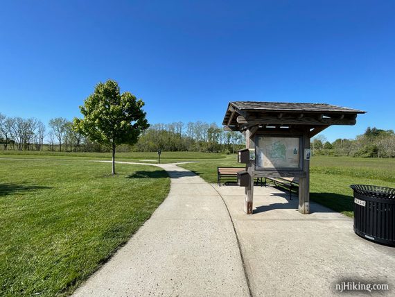
Follow this adjacent to the parking lot briefly before the trail curves right to run through Big Brook Park. Follow the paved path as it turns a few times.
This park is mostly fields with mowed paths to hike through.
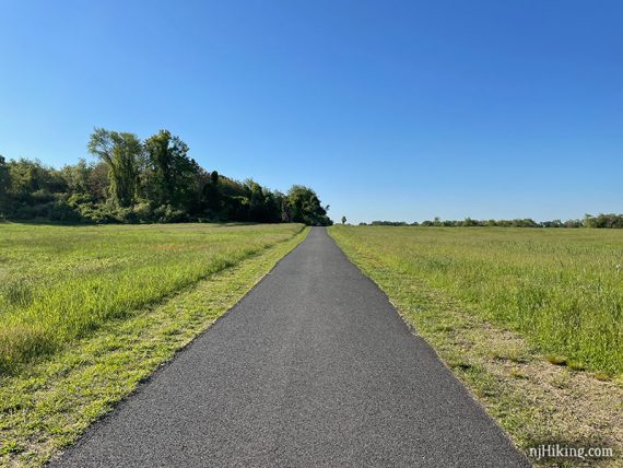
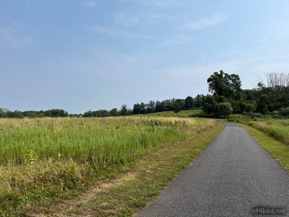
0.7 – At a split, turn RIGHT and continue on the paved trail. There is a small sign but it’s easy to miss [Left here leads out to the other side of the park and a lot on Boundary Road.]
1.0 – Turn LEFT after the fields. There was no signage indicating it but there was a bench. [The path also went right as well, which leads out of the park to Allen Rd.]
The trail has a lot of trees and some shade. It’s an easy ride the whole way, with just only minor hills.
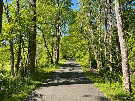
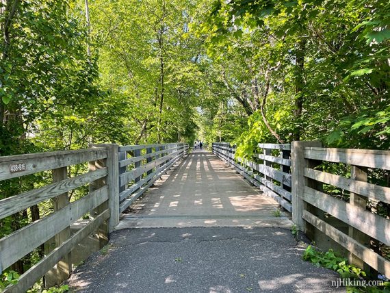
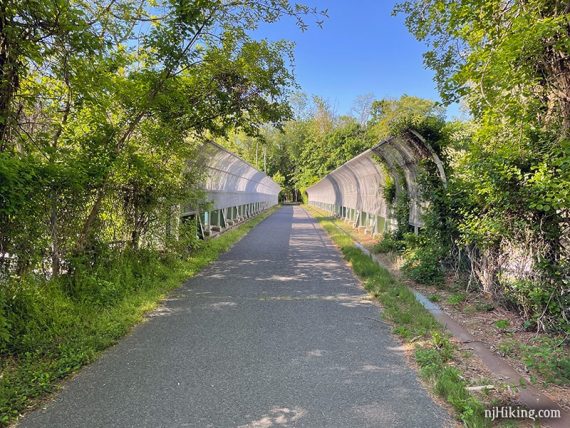
2.3 – Cross over Rt. 18 on a bridge with a tall curved fence on either side.
The street crossings generally aren’t too busy or frequent.
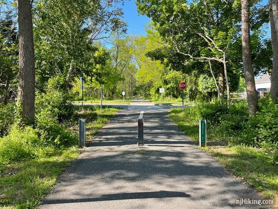
4.2 – The most major street crossing is at the intersection with Koslozski Rd, where the trail jogs over to the crosswalk and then back.
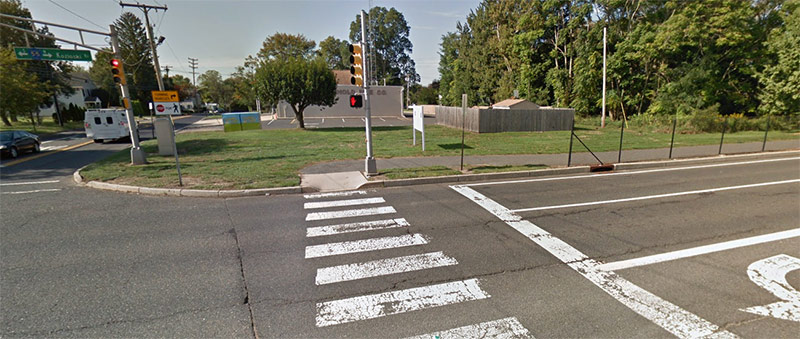
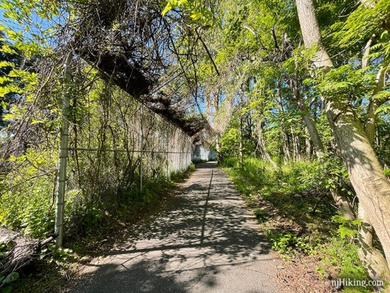
5.8 – The trail used to terminate unceremoniously at Main St. (Rt 537) as the southern most point of all Henry Hudson sections. A half-mile extension has been added. Cross Main St. to continue.
(A right turn here on to the street would lead into downtown Freehold but we don’t know how busy a ride that would be.)
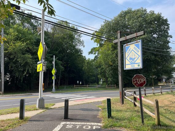
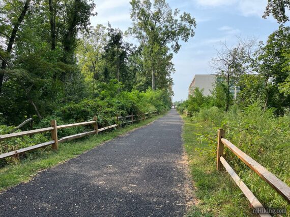
The extension is a nice tree-lined additional 0.5 miles of wide trail.
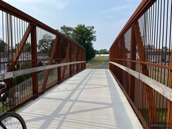
The trail crosses above Center St on a large concrete walkway.
And soon ends at a large gravel parking area with a portable toilet along Jackson St.
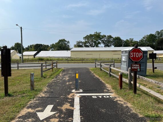
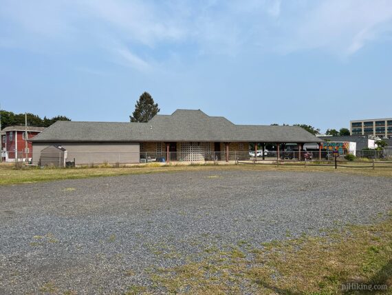
There is an old railroad station building with a fence around it at the far end of the gravel parking lot. Turn around and retrace the route back.
—
Biked 9/6/25. Including new extension.
Biked 5/15/21.
Biked 9/2/12. Trail Blog: “Biking Henry Hudson from Big Brook Park“