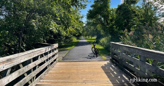
Paved trail with views of marshlands, suburban areas, Sandy Hook Bay, and the New York skyline.
Heading east from Keyport through Atlantic Highlands to Popamora Lake Park, and back.
Miles: up to 24.9 round trip. Paved surface; has bumps and cracks. Multiple street crossings.
- Shorter: Simply turn back sooner.
- Nearby biking: Henry Hudson Trail – Marlboro to Matawan; Henry Hudson Trail – Marlboro to Freehold.
- Nearby hiking: Cheesequake – Green Trail; Cheesequake – Yel, Blue, Green; Cheesequake – White & Arrowsmith; Holmdel Park; Tatum Park; Huber Woods; Hartshorne Woods.
Biking Info:
Our two cents:
Generally shady route and the beachy scenery is nice for a change. Frequent street crossings are the biggest downside to this trail. Traffic noise, especially where the trail runs along Rt. 36 for a bit.
Unlike most rail-trails, the Henry Hudson is paved and not dirt. It still can be a bit of bumpy ride with cracks and patches.
Overall we felt the surface had improved since the last time we biked it (8/2012). It appeared that some bumps from roots were removed and repaved, and the Bayshore Trail section was repaired after Irene and Sandy.
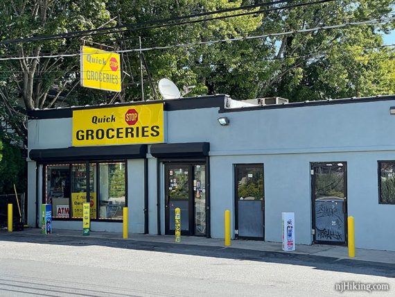
Fun facts: A block off the trail is the infamous Quick Stop convenience store from the movie Clerks, created by Jersey-native Kevin Smith. Possibly spot a couple who have been removing trash from the trail for many years.
Updated: 9/2021 – Re-biked, enhanced description, new photos, moved older photos onto a trail blog.
Parking: N40.42289° W74.21207°
20 Gerard Ave. Matawan, NJ 07747. Small paved lot at a ball field. There are other lots, check the trail maps for directions. The route could be reversed by starting at Popamora Point.
There are three separate sections of the Henry Hudson Trail, one north and two in the southern portion. The Bayshore Trail is at the eastern end of the HHT.
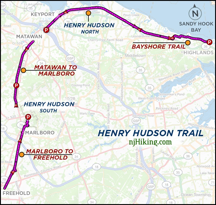
Related: Henry Hudson Trail overview page.
Restrooms:
Portable toilet in the lot (not listed on the trail map). Restrooms later at HHT Activity Center and at the end at Popamora Point.
Trail Maps/Books:
Follow along on a smartphone with our Henry Hudson and the Bayshore Trail Interactive Map. The park site has maps and there may be paper maps in trail kiosks. Appears in Rail-Trails New Jersey & New York.
What type of bike to use for rail-trails?
Overall, a hybrid bike is good. This bike type works for flat dirt trails as well as asphalt (but maybe not on true mountain bike trails).
Gravel bikes and mountain bikes are good for rail-trails. A road bike might be alright. Skinny tires are not ideal unless it’s paved, and even then there might be the occasional buckled asphalt from roots.
Currently, we love our chain-less, no maintenance Priority 600 bikes for all fun and no fuss. If you’re new to biking and don’t want to commit, try renting, Craigslist for used, or start with an inexpensive bike.
Related: NJ Bike Trails overview page.
The Details:
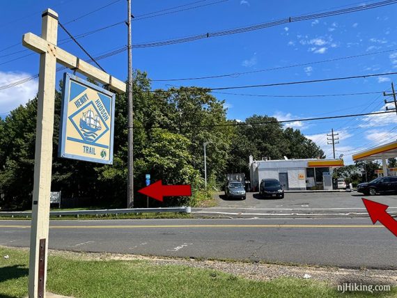
0.0 – Walk past the trail kiosk to the crosswalk. The trail is across the road and goes to the left if facing the gas station.
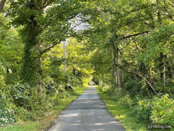
Much of the Henry Hudson is shaded and has a nice easy surface, but there are rough spots and areas in full sun as well.
The street crossings seem especially frequent early on in the route. Most crossings aren’t busy but you still need to be cautious.
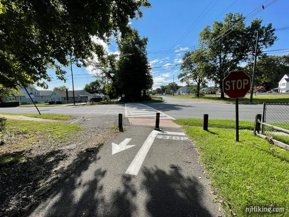
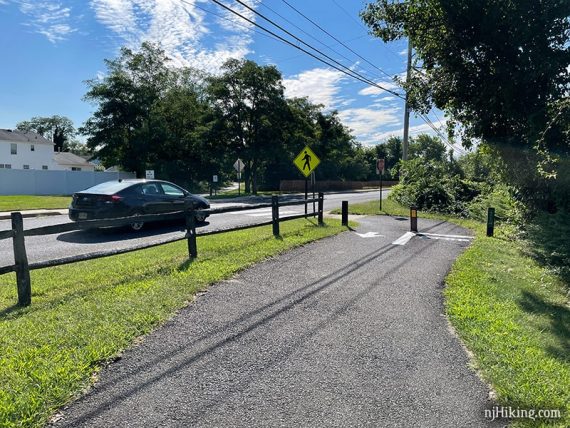
There are metal gate posts and directional signage painted where the trail continues after a crossing.
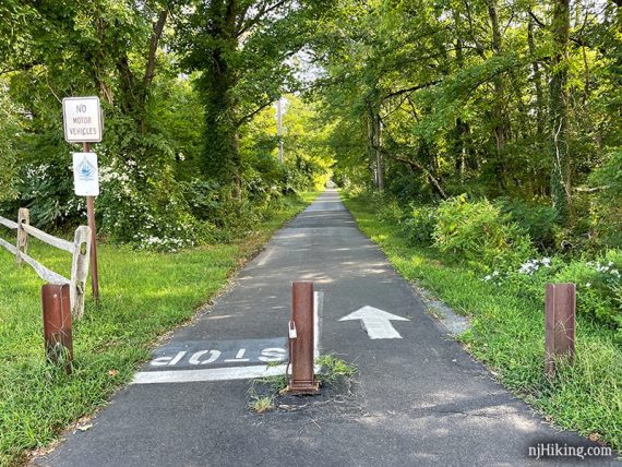
1.1 – Trail seems to end at a store and is a bit unclear – turn LEFT to cross the road to continue.
The scenery varies from marshlands to forests, to backyards and a few industrial areas, to views of Sandy Hook Bay, the Verrazano bridge and the NYC skyline.
Cross a few bridges with views of the surrounding marshes.
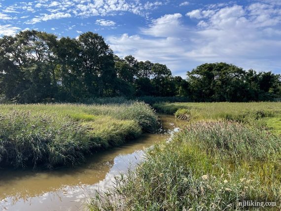
Sometimes the New York skyline can be seen in the distance.
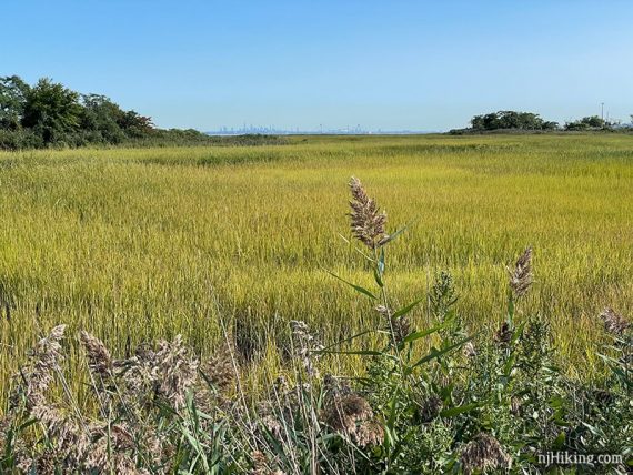
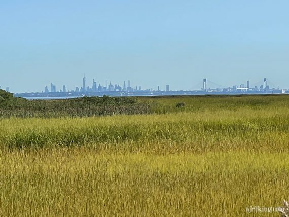
The areas around the marshes and bridges are in full sun.
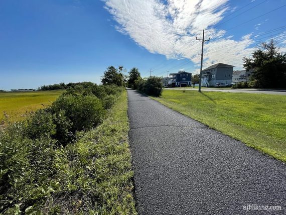
Soon the trail returns to a shady tree lined path. There are several bridges along the way.
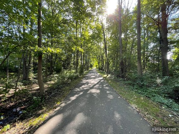
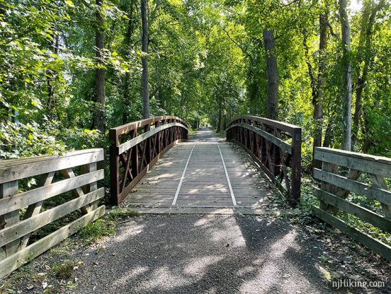
4.8 – The trail continues between a business parking lot and houses.
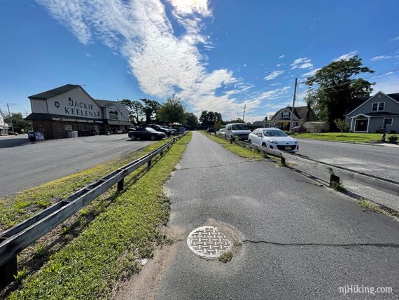
5.7 – Henry Hudson runs adjacent to noisy Rt. 36 for a bit and passes Earle Naval Station.
9.2 – Optional very brief side trip… At the corner with a fence company building, turn left and one block down is the Quick Stop used in the Clerks movies.
9.7 – The trail appears to end at Avenue D. Turn LEFT and ride along the road, following the Henry Hudson signs.
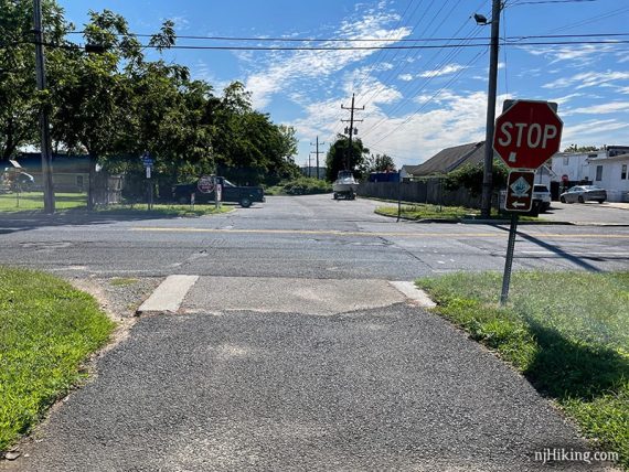
This is lightly trafficked but is a bit uphill before heading downhill. It’s not too much but we did see a family with young kids walking their bikes.
// Shorter option, 19.4 mile total: Turn back here instead to skip this street section and the Bayshore Trail. //
Continue uphill on Avenue D, then turn RIGHT on Center Avenue. This is a steady gradual downhill (…therefore uphill on the way back…)
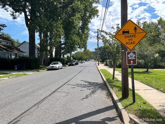
Follow the signs as the route makes several turns around a parking lot and marina, eventually becoming The Bayshore Trail. Along a fenced boat storage fenced area there are 2 tight blind turns.
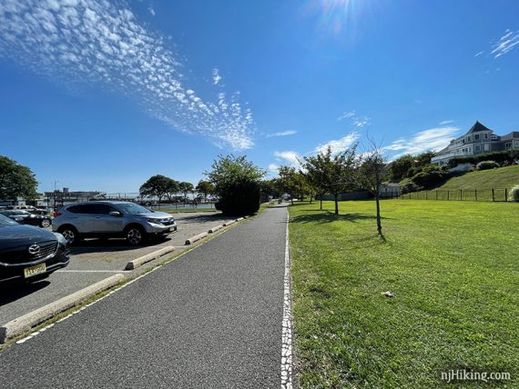
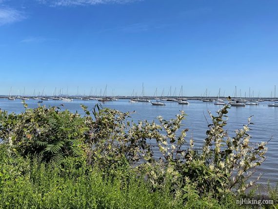
11.0 – The trail hugs the shoreline with nice views for the entire way. This section was crowded with a lot of walkers and bikers to weave around.
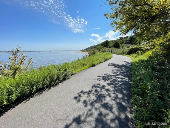
Cross a few bridges. There are nice views of Sandy Hook Bay and the New York skyline along the way. On the right, houses can be seen up a steep hill.
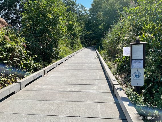
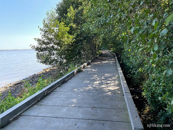
Eventually the surface turns to crushed gravel. There may be artfully stacked rocks along the shoreline.
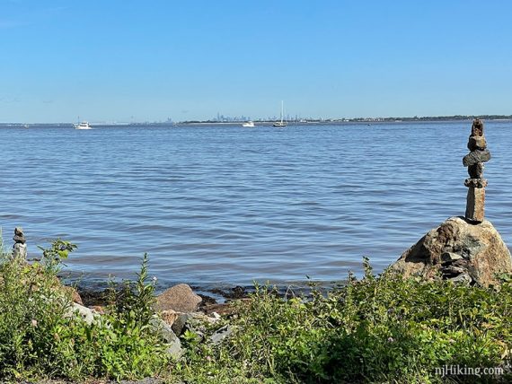
There are a few benches along the Bayshore Trail, and several picnic tables just before the end point. (The benches have a water view; the picnic tables do not.).
The Bayshore Trail ends at Popamora Point where there are restrooms, a bike rack, and parking lot.
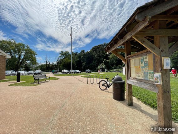
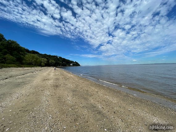
A short path leads down to a small beach on Sandy Hook Bay. When ready, retrace the route back.
—
Biked 9/4/21.
Biked 8/19/12. Trail Blog: “Biking Henry Hudson – Aberdeen to Highlands“