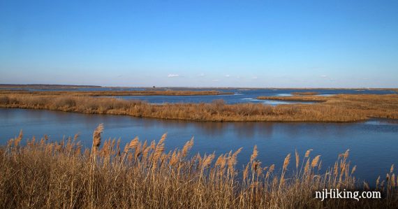
Excellent birding opportunities along Wildlife Drive and hike several easy trails through woodlands and near wetlands.
4.8 miles, easy, flat, sandy surface. A large portion of this route is on the Wildlife Drive – a packed sand trail open for (slow) traffic.
| 4.8 miles | This hike guide: Detailed instructions and photos follow below. |
| Shorter | 3.6 – From Jen’s Trail parking: Hike Bristow to the Wildlife Drive. 0.75 – From Jen’s Trail parking: Jen’s trail. From main parking area: Grassland trail .25, Akers Woodland .25, or Leeds Eco Trail .5 |
| Longer | 5.8 – Add Grassland and Leeds Eco to this loop. |
| Nearby | Bass River State Forest; Estell Manor Park; Batsto Lake Trail; Tom’s Pond Trail; Corson’s Inlet State Park. |
Our two cents:
Most visitors come here for bird watching and photography. While this isn’t a hiking destination per se, there are a few short, easy trails.
By combining the BLUE loop with the Grassland and the boardwalk of Leeds Eco trail we got a 5.8 mile hike in, followed by a ride along Wildlife Drive to make a nice day out.
We visited in January but have read that insects can be brutal in summer months.
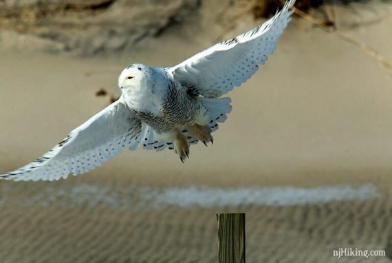
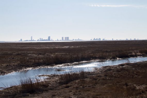
Bonus: Snowy owls can be spotted here in winter. The Atlantic City skyline can also be seen in the distance.
Updated: 1/2025 – Minor edits; updated instances of “Songbird Trail” to the new name “Bristow Trail”; not re-hiked. Older change log at page bottom.
Snowy owl:
Parking: N39.46491° W74.45079°
800 Great Creek Road, Galloway, New Jersey 08205. If approaching from the Garden State Parkway South, take exit 48 for Rt. 9 S. Follow Rt 9 for about 5 miles, then turn L on to Great Creek Road and follow signs to the visitor center parking lot.
Fee charged, cash or check only.
Restrooms:
Pit toilet building near parking lot.
Hike Info:
Map/Books:
We printed one ahead, didn’t notice one in the kiosk but there was a brochure with a map (the trail map is better – marked with colors and distances). We’ve linked to the trail map on the park’s site or follow along on your smartphone with our Interactive Map, both linked above.
Note: The trail map has changed since we’ve hiked this – what was called the Songbird Trail is now Bristow Trail, and this has been updated in the description. It also no longer notes trail color, so there may be slight differences on the map from the description below.
This route now appears in Best Day Hikes in New Jersey.
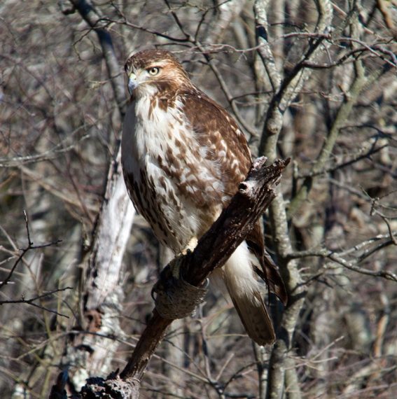
Red tailed hawk:
Hike Directions:
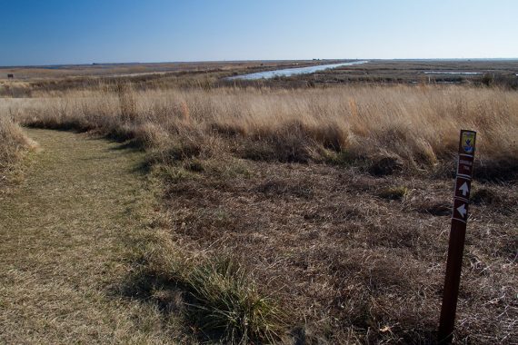
Overview: We did short trails near the visitor center first, Grassland and Leeds Eco Trail before hiking the Bristow Trail (BLUE). Grassland trail:
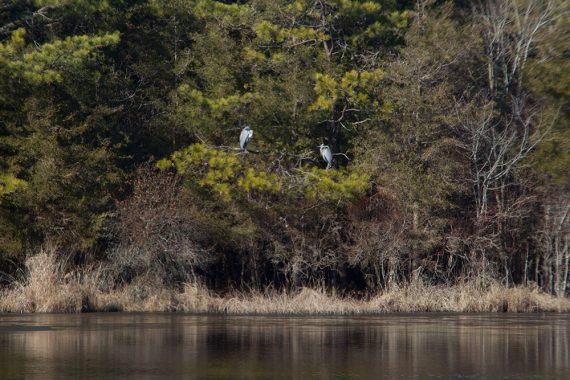
Blue herons off of Gull Pond Road:
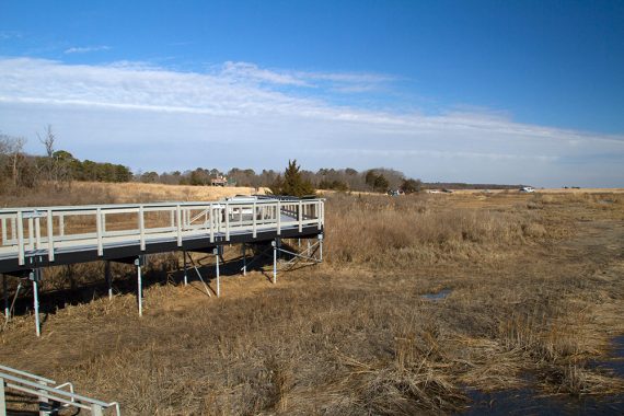
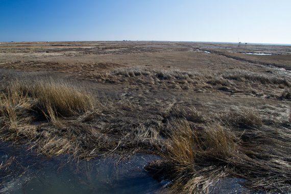
Looking back from the Leeds Eco Trail boardwalk, and the view from the boardwalk:
View of the Atlantic City skyline from the Eco Trail boardwalk:
After doing the short Grassland and Leeds Eco trails, we returned to the parking lot for the main part of our hike.
0.0 – The trailhead is at the edge of the parking lot, next to the bathrooms. The Akers Trail is marked but this is also the route for the Bristow Trail.
Continue straight on Bristow (BLUE) when Akers trail leaves to the left. Go down a short set of steps and turn LEFT onto a wide woods road.
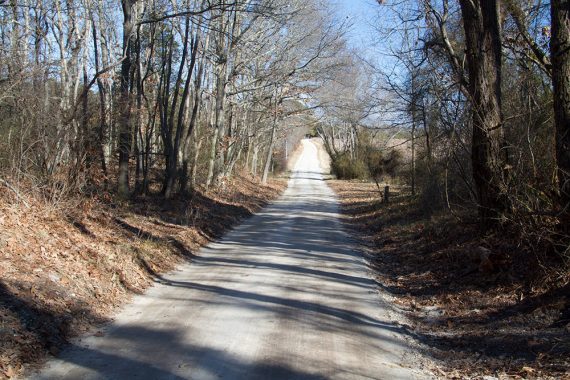
0.2 – Follow the trail as it turns RIGHT. [The park entrance is straight ahead]. The trail is on the dirt road at this.
0.3 – Follow the trail as it turns LEFT and crosses over water.
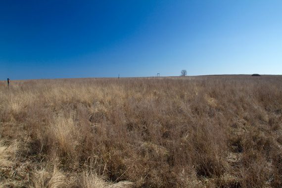
0.6 – Keep straight on Wildlife Drive.
Bristow (BLUE) turns LEFT here, and will be the return route. We chose to walk on the park road first in order to have traffic coming at us for the majority of the route.
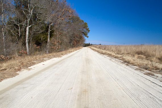
1.1 – Keep straight on Wildlife Dr, passing the road to the Experimental Pool Overlook on the right. [This is no longer marked on the trail map.]
1.3 – Keep straight on Wildlife Dr., passing PINK on the left. [May not be pink, no longer marked as such on the map.]
1.6 – Follow Wildlife Dr. as it veers to the right.
1.8 – Turn LEFT at the parking area for Jen’s Trail. Continue following Bristow (BLUE) which is co-aligned with Jen’s Trail (WHITE) [May not be white, no longer marked as such on the map.].
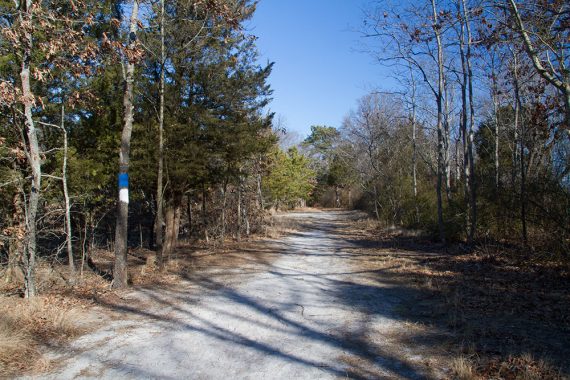
2.1 – Keep following Bristow (BLUE) when Jen’s Trail (WHITE) leaves to the left.
3.0 – Keep following Bristow (BLUE), passing PINK on the left. [Might not be pink anymore].
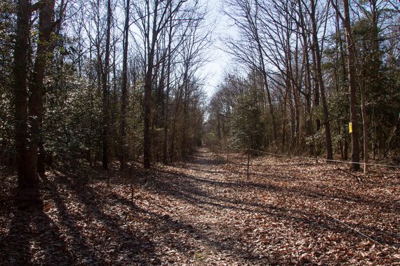
3.8 – Keep following Bristow (BLUE), passing YELLOW on the left. [May not be yellow, no longer marked as such on the map.]
[Option: Turning left onto YELLOW is a small shortcut back to Wildlife Dr, saving roughly 0.2 miles)
4.2 – Meet up with Wildlife Dr. and turn RIGHT, retracing your steps back to the parking lot.
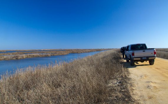
Wildlife Drive is a strip of sand road with wetlands on either side that is drivable by regular cars. Pull over on the side if you spot something.
—
Hiked 1/19/14. Trail Blog: “Edwin B. Forsythe NWR – Hawks and Snowy Owls“
Updated: 12/2021 – Minor edits; not re-hiked. 4/2020 – Page refreshed; not re-hiked.