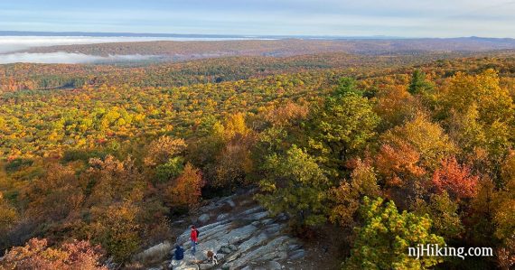
Impressive views over Stokes State Forest and the Kittatinny Ridge.
3.3 miles. Rocky surface; steep uphill at the beginning to Culver Gap, more gradual to the tower.
| 3.3 miles | This hike guide: Detailed instructions and photos follow below. |
| Shorter | 1.2 – Turn around at Culvers Gap. |
| Longer | 5.3 – Loop using Tower to Stony Lake, noted below. 9.8 – Continue to Sunrise Mountain – or – 9.2 – Opposite direction: Sunrise Mountain to Culvers Gap. |
| Nearby, this lot | Culvers Gap to Blue Mountain. |
| Nearby, in Stokes S.F. | Sunrise Mountain; Blue Mountain Loop; Tillman Ravine; Stony Brook Falls; Stony Lake Loop. |
| Nearby, in High Point S.P. | High Point Monument Loop; Monument Trail via A.T.; A.T. and Iris Loop; Monument Loop via Steeny Kill Lake |
| Nearby | Swartswood S.P. – Spring Lake; Swartswood Grist Mill. |
Our two cents:
A rewarding view, manageable mileage, and easy navigation makes this a solid pick.
Combine with a post-hike drive to Sunrise Mountain Overlook (note that the road is one-way) and a short walk to a pavilion for views in another direction.
Avid hikers could extend the hike to Sunrise Mountain Pavilion by continuing past the fire tower. Or, make it bit longer and a loop (instead of an out-and-back) to Stony Lake, instructions included below. Waypoints for these options are included on our Interactive Map.
Updated: 1/2025 – Minor edits, added instructions for a loop extension option, re-hiked 10/2024.
Hike Info:
Map/Books:
Use Kittatinny Trails. Follow along on your smartphone with our Interactive Map link above.
In no books that we know of, other than the trail descriptions in The New Jersey Walk Book and Kittatinny Trails.
Parking: N41.18006° W74.78786°
“Culver’s Gap Parking Lot”. Sunrise Mountain Rd, Sandyston, NJ 07826. Park road has no street number.
Rt 206 N into Stokes State Forest, R on Upper North Shore Rd/Rt 636. Turn left onto Sunrise Mountain Road. Quick left into the Culvers Gap parking lot (there is a big sign).
Note: Continuing past this parking lot, Sunrise Mountain Road turns into a one-way road and is closed in winter (December 15 through April 15).
Related: Best Fall Foliage Hikes in New Jersey
Restrooms:
Portable toilet may be in the parking lot (possibly seasonal; there 10/2024). Option: Continue just a bit further on Rt. 206 for the Stokes State Forest visitor center. Convenience stores on the approach via Rt. 206 N.
Hike Directions:
Overview: This hike is an out-and-back entirely on the Appalachian Trail (WHITE)… unless you follow the optional extension to Stony Lake.
0.0 – Start following the Appalachian Trail (WHITE) at the far end of the lot. In a few steps, turn RIGHT to head north on the Appalachian Trail.
Cross Sunrise Mountain Road.
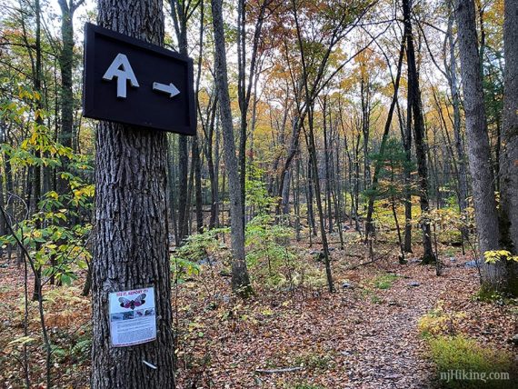
Continue following Appalachian Trail (WHITE) as it heads uphill.
0.6 – Arrive at a pretty but slightly limited view over Culvers Gap.
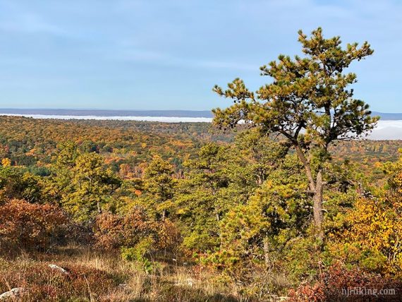
These Culvers Gap photos were taken on the way back as the view was shrouded in fog in the morning.
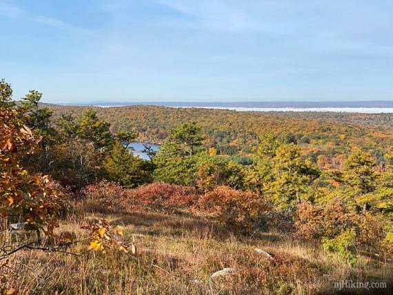
Continue following Appalachian Trail (WHITE). After Culvers Gap the trail becomes more gradual.
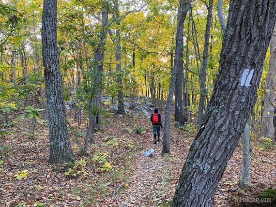
The trail is rocky but not as much as some areas of the Appalachian Trail are.
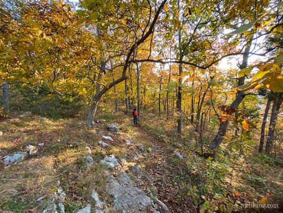
There is a casual side trail on the left to a viewpoint that is just before getting to the tower.
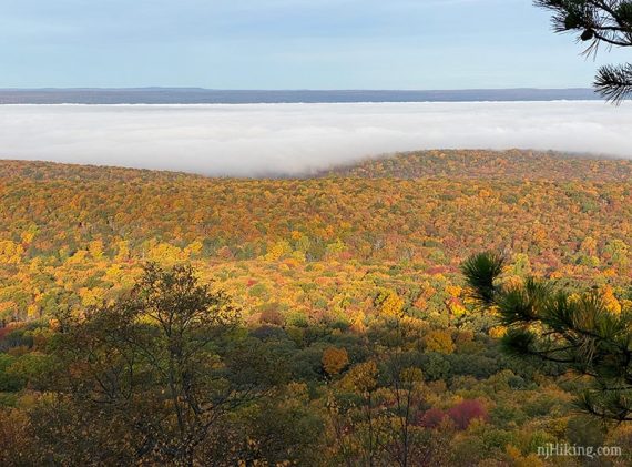
Fall Foliage was especially brilliant in 2020, and we managed to time it at peak color. Approaching the fire tower:
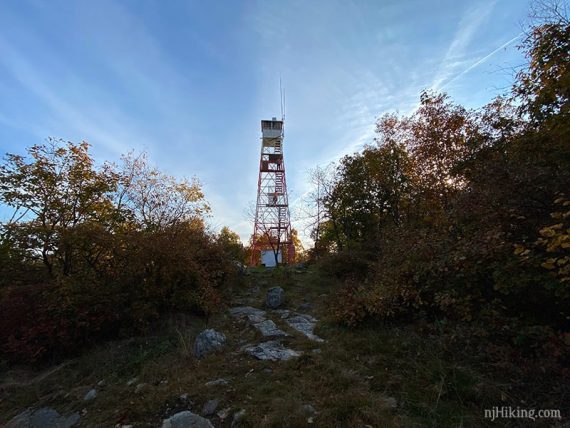
Fun Facts: Originally called the Normanook Fire Tower, it was installed in 1908, is 47 feet high, and sits at 1,509′ along the Kittatinny Ridge. [Wikipedia: New Jersey Forest Fire Service fire towers]
1.6 – Arrive at the Culver Fire Tower area. There’s an open grassy area with a picnic table to take a break.
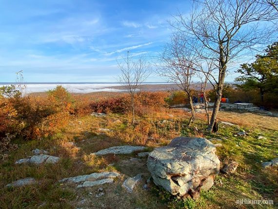
From this open area there are wonderful views in all directions across New Jersey, and into New York and Pennsylvania.
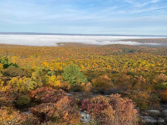
The Kittatinny Ridge that the Appalachian Trail runs along can be seen in both directions.
Looking southwest, back over the route just hiked, Kittatinny Lake can be seen below the “Acropolis” hill. This is a bit past the parking lot.
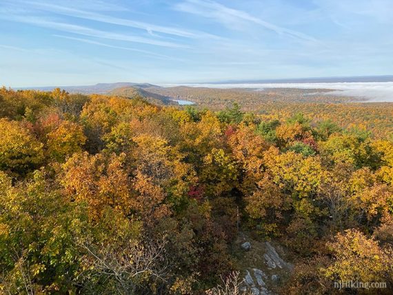
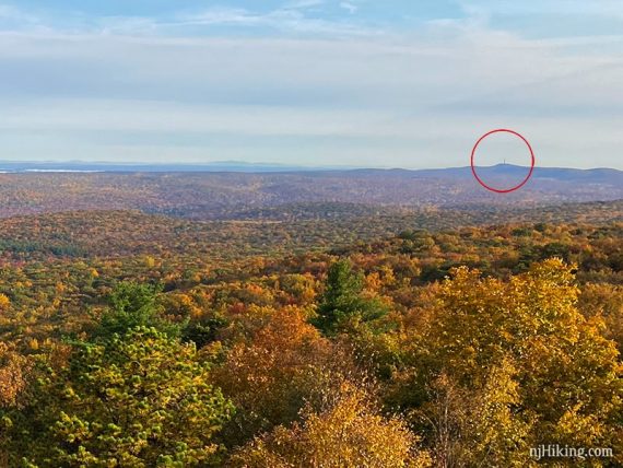
Looking ahead over Stokes State Forest into High Point State Park.
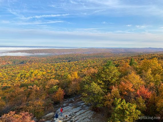
The High Point monument is just visible in the distance.
To return, retrace the route along the Appalachian Trail (WHITE) back to the parking lot… OR, extend your hike to 5.3 or 9.8 total miles… it’s nice to have some options in life, right?
// Longer option, 9.8 total miles: The Sunrise Mountain Pavilion is 3.3 miles from here. Continue follow the Appalachian Trail (WHITE) and retrace the route when done. (Of note, there is parking near the pavilion viewpoint). //
Loop variation, Tower/Stony Lake/Coursen – 5.3 total miles:
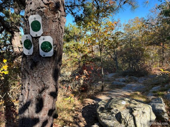
Instead of retracing the route back on Appalachian Trail (WHITE) from the fire tower, follow it just past the picnic table to markers for Tower (GREEN).
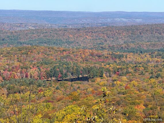
There’s a nice view from this spot too, with the destination of this loop – Stony Lake – clearly visible. This is looking over Stokes State Forest, while the cliff in the distance is Pennsylvania.
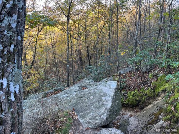
1.7 – Turn LEFT to start following Tower (GREEN). This immediately drops down a steep rock face, then continues downhill on a rocky trail.
2.2 – Cross Sunrise Mountain Road.
2.8 – At a T-intersection, turn LEFT to follow Tower (GREEN), also marked Stony Brook (BROWN).
3.1 – Shortly, continue ahead to start following Coursen (BLUE). [Tower (GREEN)/Stony Brook (BROWN) leave to the right].
3.3 – Turn RIGHT to follow the trail along a stream – this turn is just BEFORE this wooden footbridge and is easy to miss.
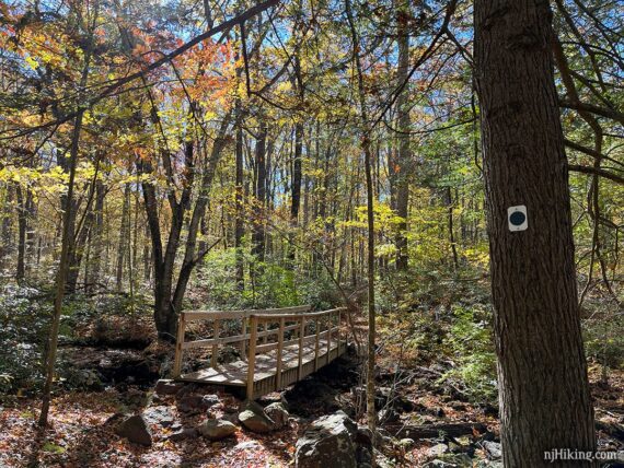
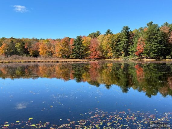
Arrive at the edge of Stony Lake. This route turns back here, but if you continued across the open area there is a pavilion and seasonal restrooms, adjacent to the large Stony Lake parking area.
3.6 – Retrace from Stony Lake, walking along the stream. Cross the footbridge to continue following Coursen (BLUE). [Just after the bridge Stony Lake (BLUE/BROWN) leaves to the right].
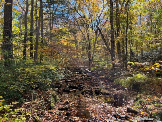
Continue following Coursen (BLUE) on a mostly level trail through a hemlock forest.
4.6 – Coursen (BLUE) ends at Sunrise Mountain Road. Turn RIGHT and walk along the road.
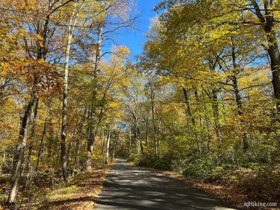
5.1 – Turn RIGHT and follow Appalachian Trail (WHITE) back to the parking lot.
—
Hiked 10/17/24. Loop with Tower, Stony Lake, Coursen.
Hiked 10/18/20. Out-n-back to Culver Tower.