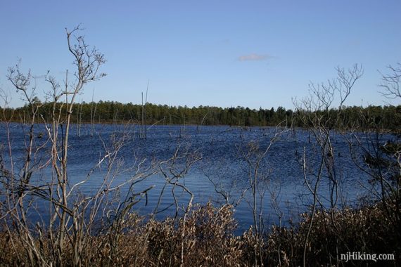
Pakim Pond, the Batona Trail, cranbury bogs, a cedar swamp, and sand roads.
The notes below are from hiking this in 2006, following the trail description found in the 2nd edition of “50 Hikes in New Jersey”.
In this edition the hike was still under the old name “Lebanon State Forest” (park’s name was changed in 2002). There is an updated edition (2020 2014) of the book.
Detailed hike directions for another hike in this park on our main Brendan Byrne State Forest page.
About halfway thru the hike, follow the directions CLOSELY as you are no longer on marked trails.
Missed a turn somewhere, we think, used the GPS to head towards the lot on sand roads. Ended up doing a 10 mile hike.
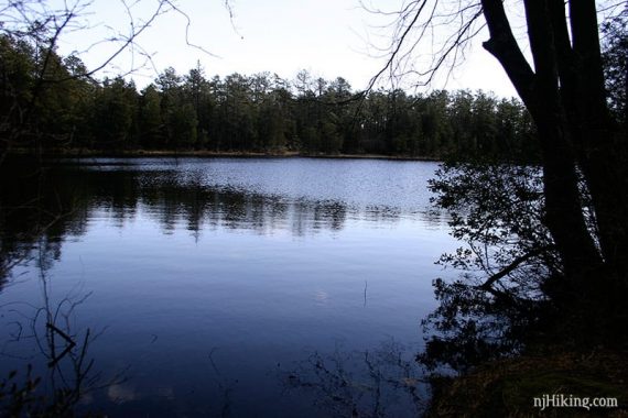
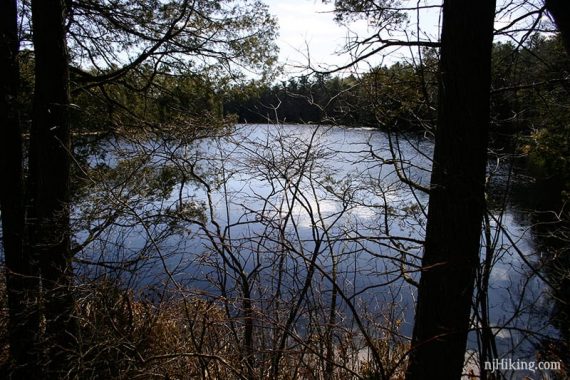
Marked trails are well marked, however a little tough to match up where you are on trail map.
Trail is very easy, flat, barely any elevation change, no rocks, just pine needles and soft dirt, some deep sand.
Took BLUE short connector across from lot to meet BATONA (PINK), 3 miles to Pakim Pond, through pine forest.
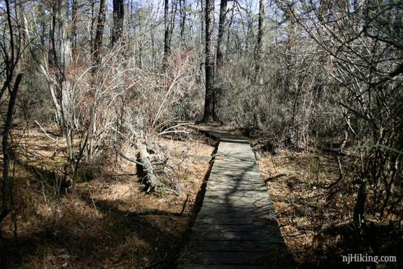
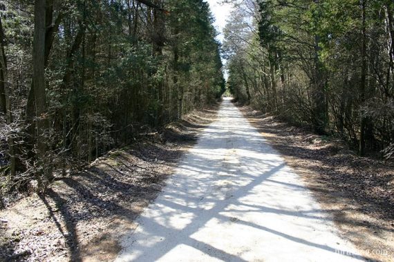
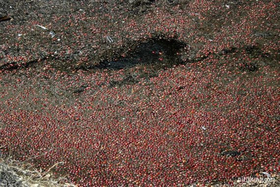
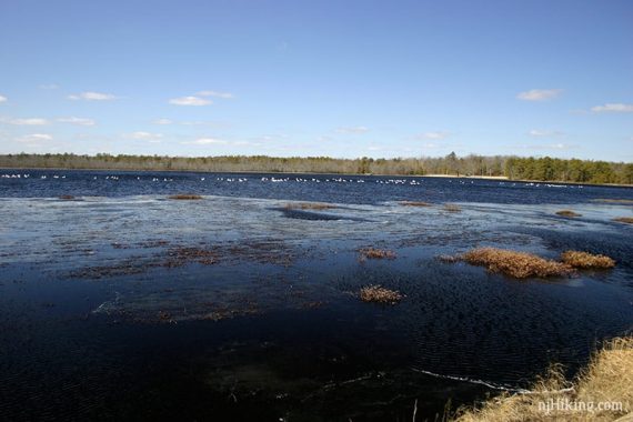
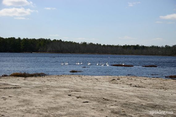
Took sand roads the rest of the way. The reservoir/bog areas were interesting, with cranberries floating at the water surface and a ton of geese/swans.
PLUS: Easy flat trail, good to put a long trip together.
MINUS: Minor road noise from parking to pond as trail parallels the road. Further into the park: background noise from Fort Dix of explosions.
Sand roads can be boring, and the repetition hard on the joints and feet.
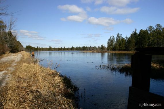
NOTE: A good winter trail but in the summer the sun would beat on you relentlessly on the roads, and the bugs are supposed to be bad.
RED trail is ADA accessible and quite nice, suitable for wheelchairs and a decent length. There is also a 11 mile bike loop trail.
Turnpike south to Exit 7, 206 South to Rt 70 circle, follow 72E 1 mile to well marked park entrance on left. Follow park road, office and parking on right.
Trail maps outside, and the office is well stocked with all kinds of brochures, plus a clean bathroom. Took 1 hour travel.
Bathrooms also at Pakim Pond parking lot, plus a composting porta (clean, no TP) at intersection of red trail and road (Cooper?).
Atlantic White Cedar swamp:
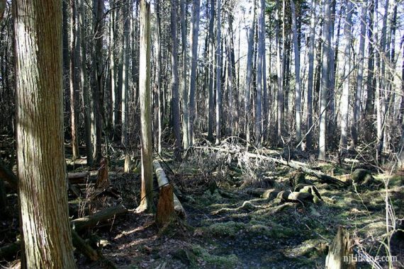
–Updated 3/2018 – Added found photos from 2006 that pre-dated when we were adding pics to posts.