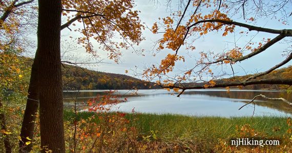
Short out-and-back hike through a pretty forest along Allamuchy Pond.
Miles: 2.8 total round trip. Surface ranges from easy to some rocks and roots. Very slight uphill grade.
| 2.8 miles | This hike guide: Detailed instructions and photos follow below. |
| Shorter | Turn around sooner. |
| Longer | Continue into the Allamuchy Mountain – Deer Park section. |
| Nearby | Jenny Jump – Ghost Lake; Jenny Jump Trail. Stephens State Park; Allamuchy Mountain – North; White Lake. |
| Nearby Kayak | Lake Aeroflex; White Lake Kayak. |
Our two cents:
Enjoyable short hike that is easily accessed from Rt. 80. Bonus: After, stop at the scenic overlook about a mile further east on Rt 80 for a view of the Water Gap in the distance.

We hiked the full trail loop around the pond but don’t recommend this as it requires a long road walk on the shoulder of busy Rt 517.
Updated: 12/2021 – Adjusted parking link, added clarification, and photo.
Hike Info:
Map/Books:
Morris County Highlands Trails or the park map. Follow along on your smartphone with our Interactive Map linked above.
None that we know of. Other routes in Allamuchy can be found in 60 Hikes Within 60 Miles: New York City, Hiking the Jersey Highlands, and the 1998/2006 version of 50 Hikes in New Jersey.
Parking: N40.91512° W74.81601°
1692 County Rd 517, Hackettstown, NJ 07840***. Rt 80 West to Exit 19. L on Rt 517. Straight through the light. L into the driveway for Mountain Villa/Rutherfurd Hall (large sign).
From the main driveway, a quick R on a narrow driveway to a small dirt lot with room for a few cars. If you end up at a large building you’ve missed it.
***ATTENTION!! The address and parking link now points to the intersection of the driveway with Rt 517 instead of the actual parking lot due to GPS usually missing the turn. Even so, GPS directions may still go past the intersection.
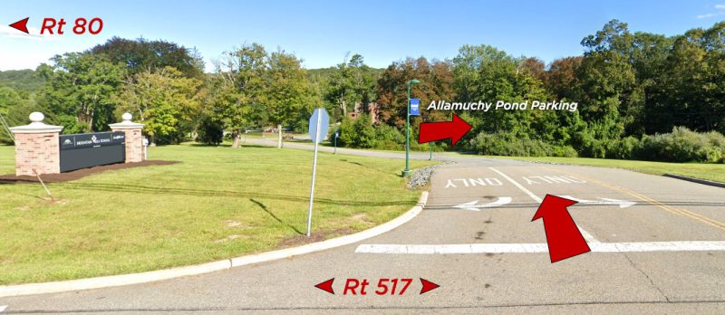
Note: The lot was muddy and rough the last time we parked here (10/2021), as was the first part of the trail.
Restrooms:
None. A bit past the turn for the trailhead on Rt 517 are stores and a gas station.
Hike Directions:
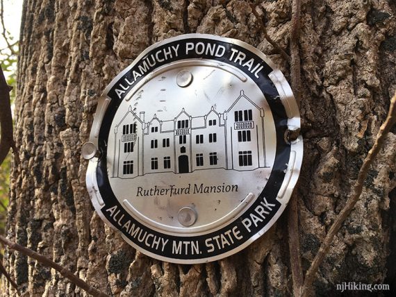
Overview: Allamuchy Pond (SILVER w/Rutherfurd Hall line drawing)
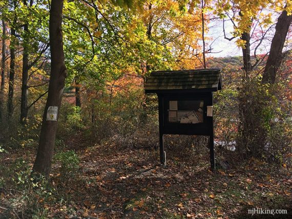
0.0 – Facing the pond and trail kiosk, turn LEFT to start following Allamuchy Pond (SILVER).
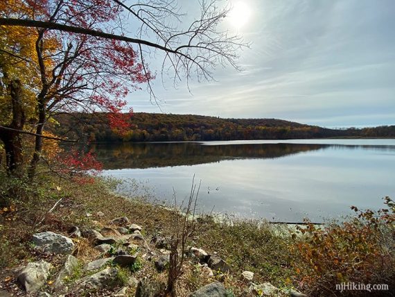
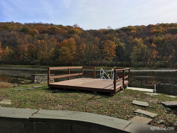
The trail exits the woods and crosses a lawn behind Rutherfurd House. Pass a boat dock and bench.
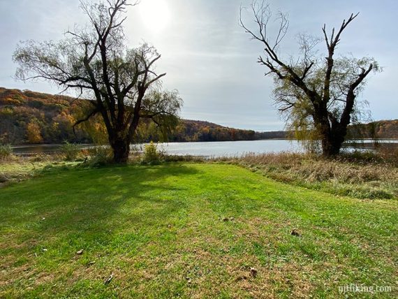
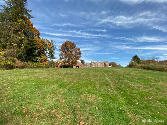
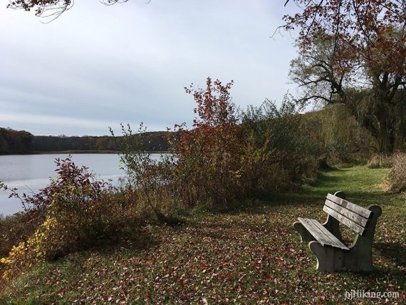
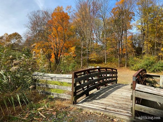
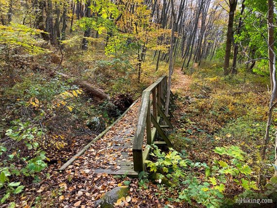
0.4 – Cross a wooden bridge.
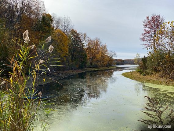
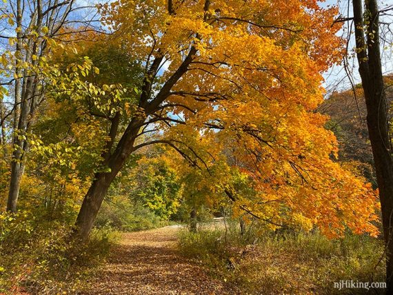
Where the trail splits – keep LEFT to start heading gently uphill.
[The nature trail to the right runs closer to the pond but eventually becomes too overgrown to follow.]
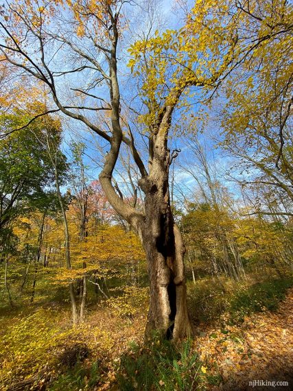
The trail is pleasant with some very large old trees. Eventually the trail moves away from the pond.
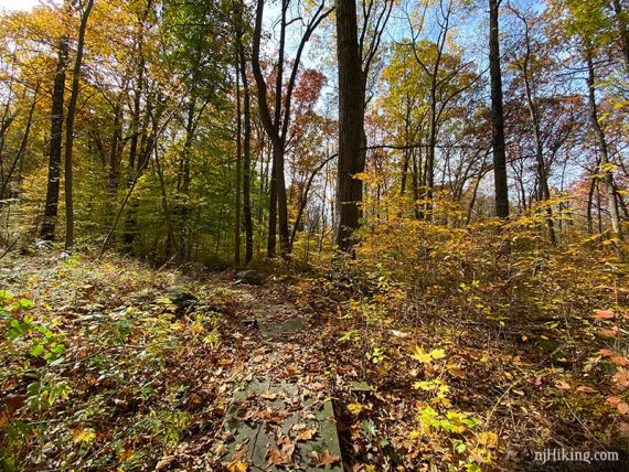
1.4 – The T-intersection is the turnaround point – retrace the route back to the parking lot. (We noticed no markers).
To extend the hike:
–LEFT at this intersection leads to the Allamuchy – Deer Park section.
–RIGHT at this intersection is the continuation of the Allamuchy Pond Trail – not recommended.
———
Hiked: 10/26/19.