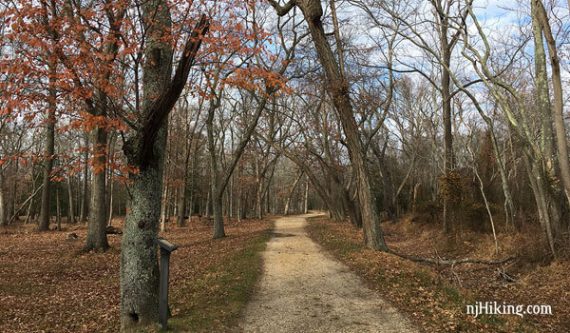
Hike though a northern section of the pine barrens before exploring the historic buildings of Allaire Village.
6.5 miles, surface mostly level dirt, sand, and pine needles.
- Shorter: 3.7 mile variation from 50 Hikes, see below.
- Shorter: Remove YELLOW and ORANGE.
- Longer: Add wandering around the Village.
- Longer: Drive over to the south section of the park for an additional 3 or 4 miles.
- Nearby: Manasquan Reservoir; Shark River Park.
Hike Info:
Our two cents:
Better for an easy local walk, as the trails closest to the parking and nature center are the most interesting.
Avid hikers heading further out won’t find a lot of interest or challenge. Considerable road noise from Rt 195 on sections near the highway.
The historic buildings at Allaire Village are worthwhile to check out after a hike and if the bakery is open you can score a post-hike cookie. Mmmm cookies.
Updated: 4/2020: Page refreshed, not re-hiked.
Fee:
Main lot only, Memorial Day to Labor Day. See NJ State Park Pass. Start the hike from the bike parking area on Rt. 524 to avoid.
Map:
Print out from the park site ahead, or check at the visitor or nature center.
Books:
A good 3.7 mile variation is in 50 Hikes in New Jersey and a hike in the southern portion of the park (from a different parking area) is in 60 Hikes Within 60 Miles: New York City.
Parking: N40.15879° W74.13067° [Main lot]
Via exit 98 off the Garden State Parkway or exit 31B off Interstate 195.
Restrooms:
On the right side of the building off of the main parking lot.
Hike Directions:
Overview: GREEN – RED – GREEN – YELLOW – ORANGE – PURPLE
0.0 – The GREEN trail starts at the far right corner of the parking lot by a fence with signs.
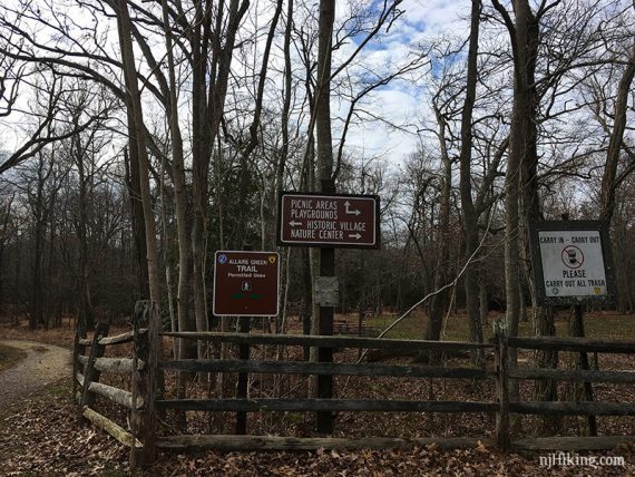
Facing the signs, turn RIGHT and continue towards the Nature Center on a wide path.
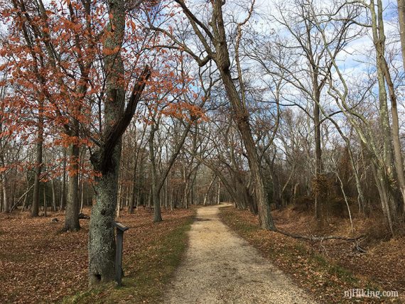
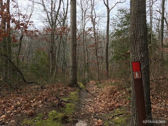
0.3 – Turn LEFT to now follow RED, over a few boardwalks.
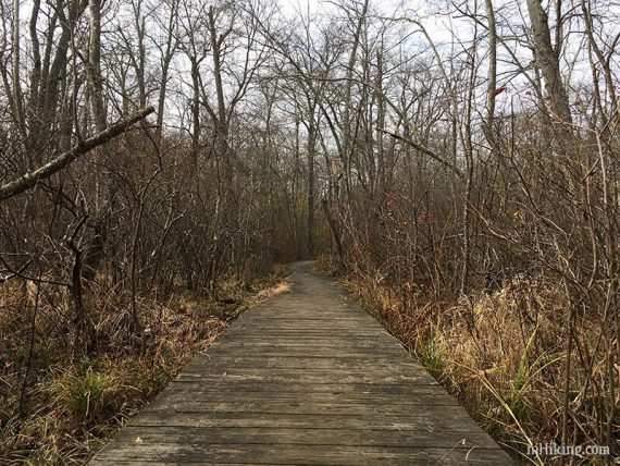
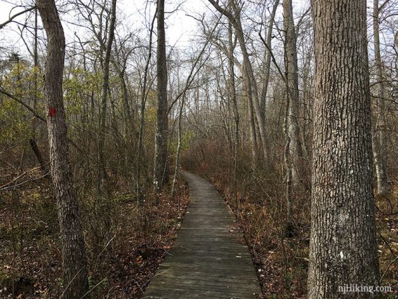
1.1 – Turn LEFT to now follow GREEN again.
/// Short option: Instead, turn right and take GREEN back toward the Nature Center. ///
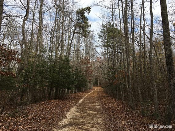
Continue on GREEN as it goes under 195.
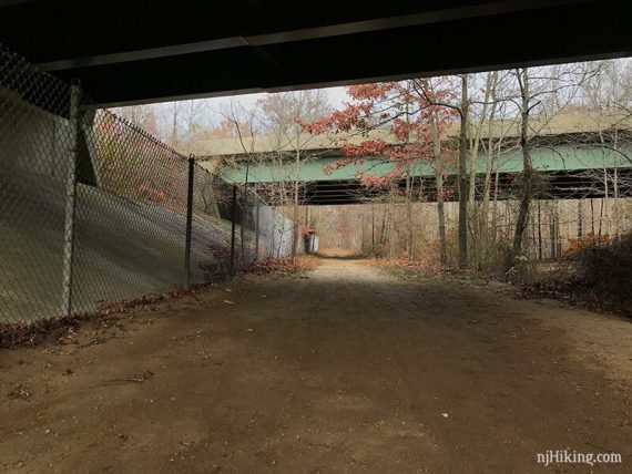
1.3 – Cross 524.
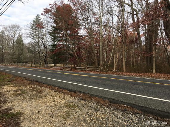
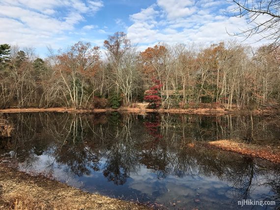
Continue on GREEN as it crosses an open grassy area, not really marked. Pass Long Swamp – an area of water with many tree stumps in it.
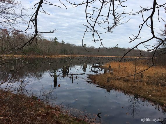
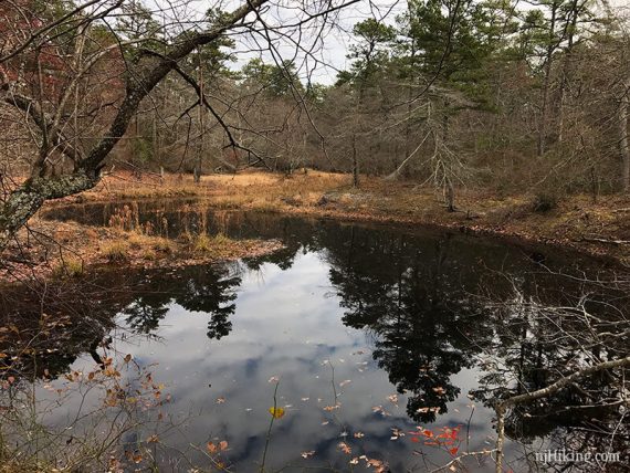
1.8 – GREEN forks in a Y – take the LEFT fork. [The right is a shortcut to end up in the same spot though].
Green starts to round back and parallels YELLOW, which is off to the left in a utility cut.
2.5 – At some ORANGE markers (not sure why they are orange…) turn LEFT to get on YELLOW and immediately turn RIGHT to now follow YELLOW on a wide utility cut.
[GREEN continues but is not obvious unless you walk up a bit].
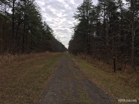
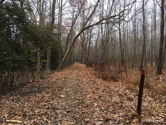
3.0 – Turn RIGHT to continue on YELLOW as it leaves the utility cut… not real obvious.
Continue on YELLOW, past cabins, and head toward 195. YELLOW markers get quite sparse.
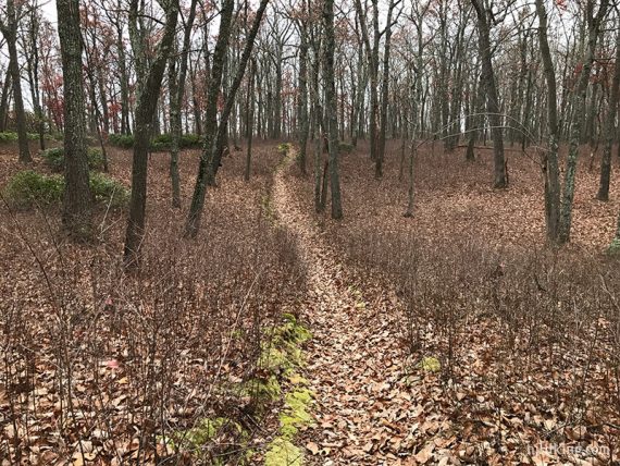
3.4 – Continue on YELLOW as it follows along Rt. 524 and under 195, then veers LEFT away from 524.
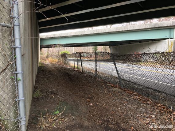
3.7 – Turn RIGHT as YELLOW follows the utility cut again (at a marker wand with arrow), and then quickly turn LEFT to start following ORANGE.
/// Shorter option: Stay on YELLOW to cut the whole ORANGE section out.///
In some sections the trail is… eh.
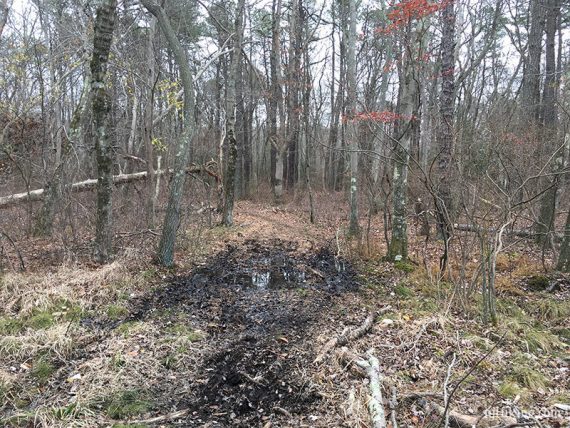
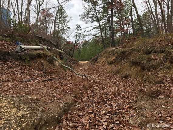
ORANGE loops around, pass a blue silo, some unmarked trails, and some area with deep sand on either side. After looping around, cross 524 again.
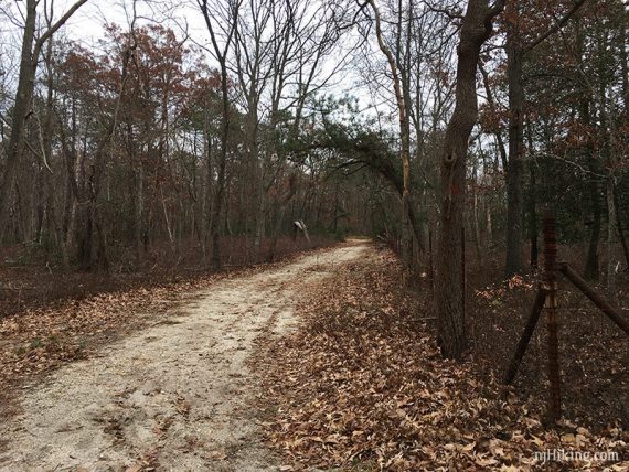
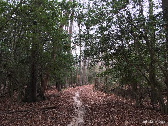
5.6 – ORANGE turns to the RIGHT and joins paved PURPLE bike path.
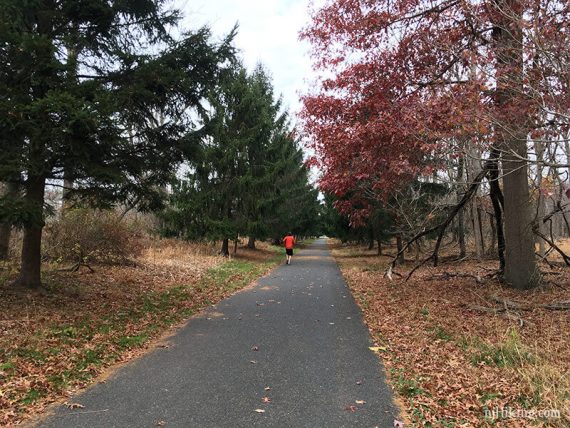
Continue following the paved path (ORANGE/PURPLE… may not be marked) as it starts to follow along a field with railroad tracks, then turns left back to the parking lot.
Optional add-on:
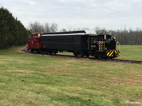
Instead of following the paved all the way back, turn off to the left on an unmarked wide path to cut directly through the Pine Creek Railroad and Allaire Village buildings.
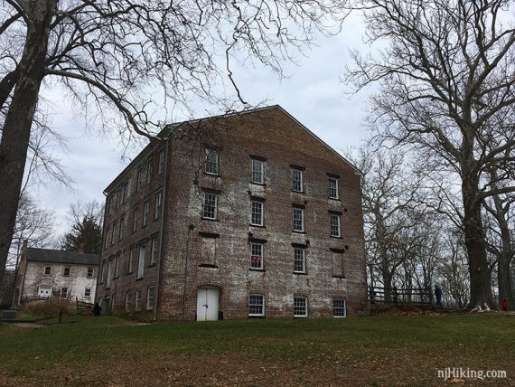
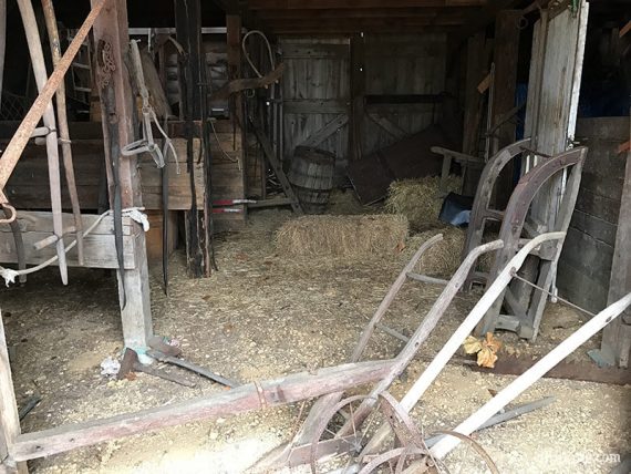
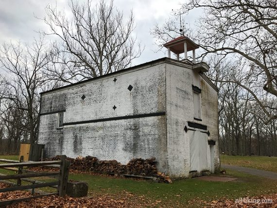
After wandering around, make your way to the parking lot.
—
Hiked: 11/25/16.
Hiked: 2/14/15.