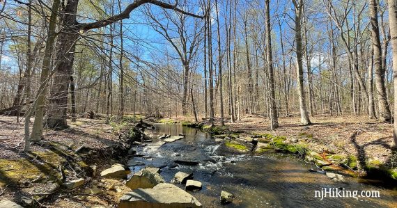
Quick and easy hike along a pretty brook and through a forest.
1.0 mile. Easy, level, dirt and roots.
- Longer: Connect to Farrington Lake Trail or the main part of Ireland Brook Conservation Area.
- Very nearby: Davidson’s Mill Pond, Tamarack Hollow; Van Dyke Farm.
- Nearby: John A. Phillips Preserve; Thompson Park – Middlesex County; Thompson Park Conservation Area; Monmouth Battlefield; Plainsboro Preserve; Perrineville Lake Park.
- Bonus: Kayak Farrington Lake.
Hike Info:
Our two cents:
This is part of Ireland Brook Conservation Area but is at a different trailhead (Riva Ave.) than the main park (Parkview Court).
Multiple nearby parks in this area can be combined to make longer hikes. Forest Brook trail can meet up with the main Ireland Brook trail by walking down a pipeline cut.
Or, connect to Farrington Lake Trail with a brief road walk… then Farrington Lake Trail connects to Davidson’s Mill Pond. See the map for the Mill to Brook Trail.
Updated: 4/2021 – re-hiked; description refreshed, new photos; split Forest Brook from Ireland Brook onto it’s own hike page.
Parking: N40.42045° W74.48471° [Forest Brook]
581 Riva Avenue, East Brunswick, NJ. Easy to miss tiny small dirt pullout next to a road bridge over the brook near a ‘Leaving East Brunswick’ sign. This was rutted with two large puddles the last time we hiked.
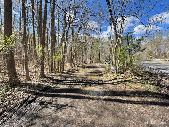
There is a larger parking area nearby at a paved driveway and a sign for the Ireland Brook Conservation Area. Doing a loop from here would shorten the hike unless you continue out-and-back on the leg to the other parking.
Map/Books:
Print one out ahead or use our Interactive Map linked above (this shows the main Ireland Brook as well). In no books that we know of.
Restrooms:
None. Not much in the area, best bet may be to stop by Davidson’s Mill first as there should be a porta-john in that lot.
Hike Directions:
Overview: Forest Brook (BLUE)
0.0 – Forest Brook (BLUE) starts by the large rock and blue blazes on a tree.
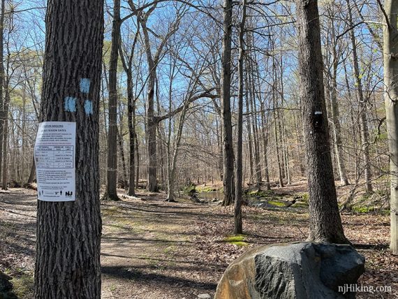
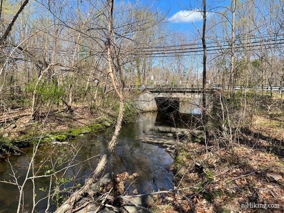
The trail follows alongside Ireland Brook in the beginning.
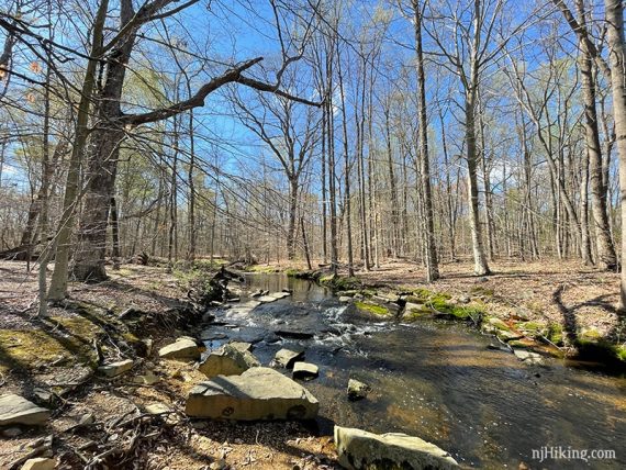
The bridge over the road is seen in the other direction.
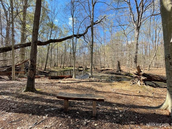
There are several wooden benches with views of the brook.
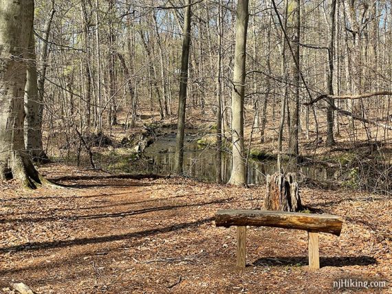
0.2 – Turn RIGHT at the trail split. [Forest Brook (BLUE) also goes to the left which will be the return route.]
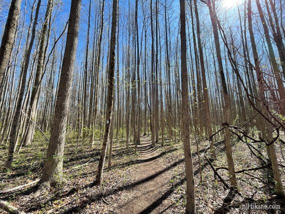
Continue on Forest Brook (BLUE) through a dense area of tall, skinny trees.
0.4 – Continue following Forest Brook (BLUE) as it crosses a gas pipeline.
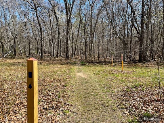
Looking up the pipeline cut. [This could be followed to connect to Ireland Brook (YELLOW), the main trail of this park.]
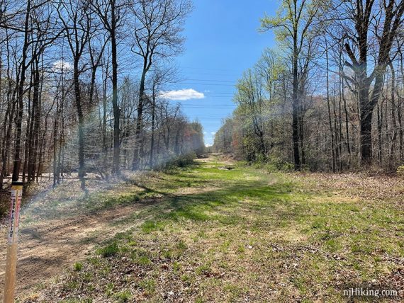
0.5 – Turn LEFT to continue on Forest Brook (BLUE). [An unmarked path goes to the right, this likely leads out to the powerline cut].
0.6 – Arrive at a fenced area for the grave of Gertrude Provost.
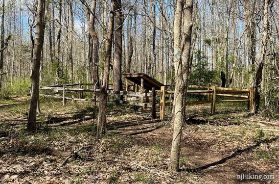
Since we were last here (2013), the fence was extended around the whole site and a wooden cover was added to protect the grave.
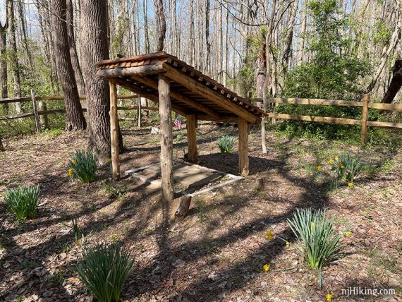
The gravestone reads “Gertrude Provost, wife of Jonathan Provost, Born Jan 10, 1809, Died Feb. 22, 1839.
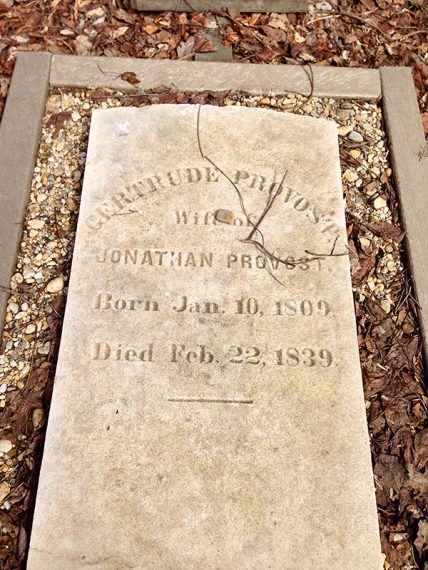
This area is clearly kept up – there were even daffodils all around – but a brief search yielded no info on Gertrude and the grave doesn’t appear on the trail map.
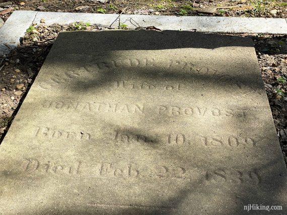
This is likely old farm land with a family plot, but hey a little mystery is always fun. And it was an interesting surprise to stumble upon when we first hiked here.
Nearby are a few smaller stones that are either faded or unmarked, with a small flag.
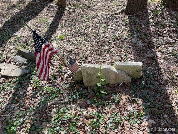
Not far from the grave, cross the pipeline again. Forest Brook (BLUE) goes to the RIGHT but we didn’t see an indication.
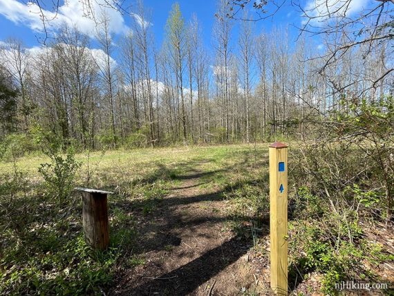
Veer LEFT to continue following Forest Brook (BLUE) through an area with tubes protecting plantings.
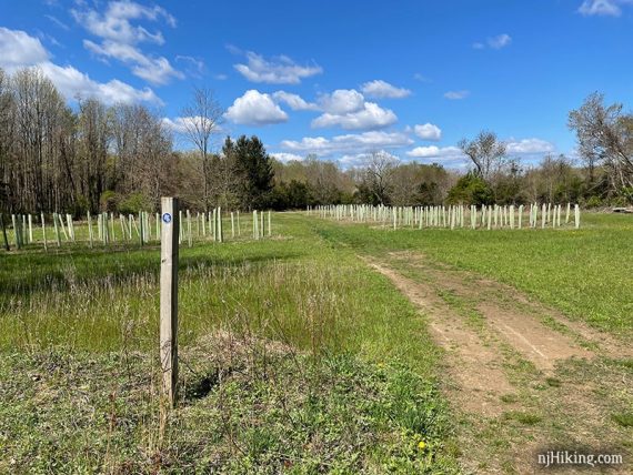
0.7 – Follow Forest Brook (BLUE) as it turns LEFT to head back into the forest.
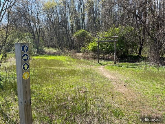
Meet up with trail from earlier and turn RIGHT to head back along the brook to the lot.
—
Hiked: 4/18/21. with Farrington Lake Trail.
Hiked: 3/10/13. Trail Blog: “Ireland Brook and Forest Brook.