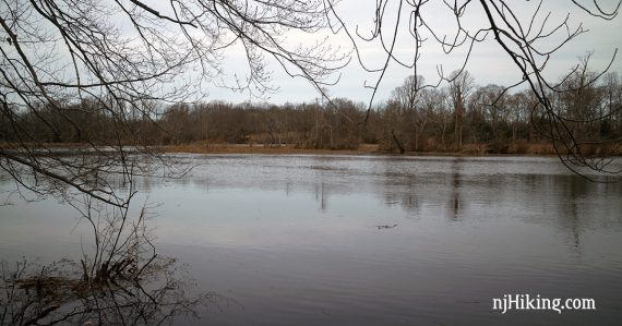
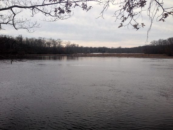
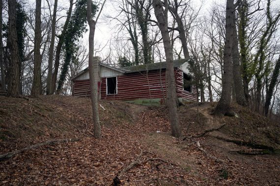
Sandy trail that runs along the winding Rancocas Creek and passes by the remains of an old house.
3.3 miles, easy, sandy trails with roots, minor hills.
| 3.3 miles | This hike guide: Detailed instructions and photos follow below. |
| Shorter | Use any of the many interior trails to create smaller loops – look for the arrow markers to denote connector trails |
| Longer | Include the ORANGE loop to add about 1.2 miles or meander in and out of the interior trails. |
| Longer | Drive 10 min. to Rancocas Nature Center and add the trails there. This park does not connect via trails. |
| Nearby | Black Run Preserve; Saddler’s Woods. |
Our two cents:
Easy trail with view of water almost the entire way. Parking is somewhat limited.
Updated: 5/2024 – Minor edits, page refreshed; not-rehiked.
Hike Info:
Map/Books:
Print the online map or the trail kiosk at the other parking lot on Rancocas Ave may have printed brochures.
No books that we know of for this section, the north section is in 60 Hikes Within 60 Miles: Philadelphia and Best Day Hikes Near Philadelphia.
Parking: N39° 59.553′ W74° 50.072′ [Deacon Rd. Lot]
Turnpike to Exit 5 – Burlington Mt. Holly Rd – R on Mt Holly Ave Bypass/541 – R on Marne Hwy – R on Deacon Rd.
The dirt parking area is at the end of the road and among the trees and it’s a little hard to tell where spots are.
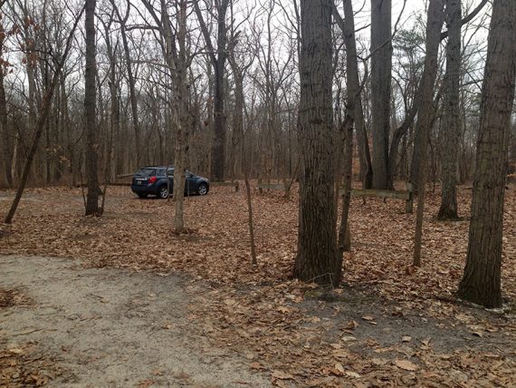
Another entrance is on Rancocas Avenue with space for 1 or 2 cars along the road: N39° 59.439′ W74° 50.265′
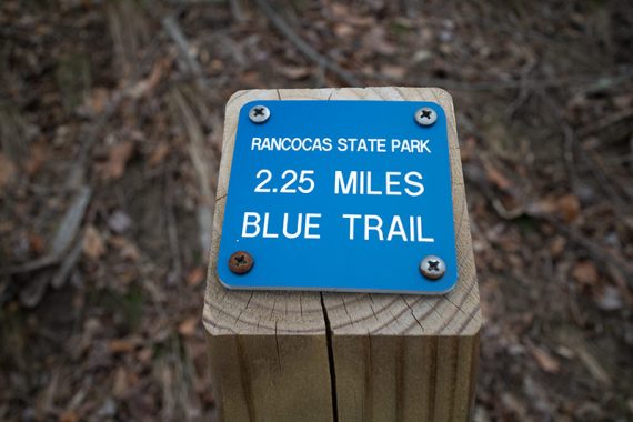
Distance markers – these start from the parking lot on Rancocas Rd so they will be a bit off from Deacon Rd.
Restrooms:
None. Restroom at the Nature Center in the north section, about 10 min away, if you’re combining parks.
There is a Wawa on Woodland Ave plus fast food places on the approach via Burlington-Mt Holly Rd.
Hike Directions:
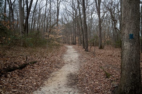
This hike is entirely on the BLUE trail around the perimeter of the park and is pretty easy to follow.
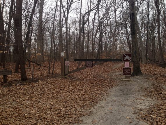
0.0 – From the parking, walk around/past the gate and start following BLUE. [BLUE is also on the left but a little hard to spot – that will be the return.]
0.1 – Continue following BLUE. Pass WHITE and then RED soon after.
0.6 – Take a short side trail on the right out-and-back to the edge of the creek.
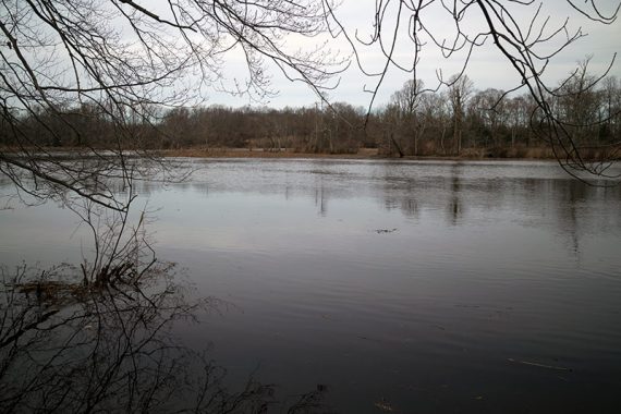
Continue following BLUE.
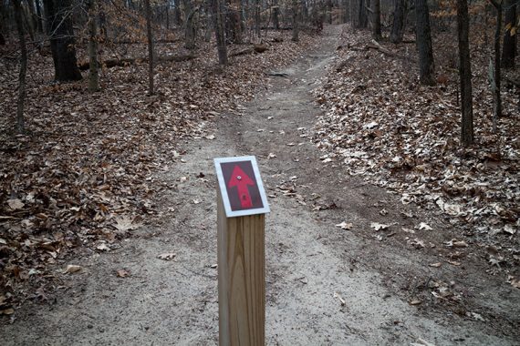
Soon after this there will be RED arrow markers which show how to get to the various interior trails that can be used to change/shorten this perimeter route.
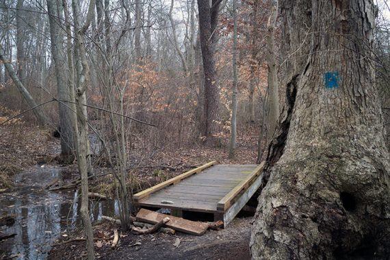
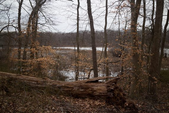
1.7 – Pass the YELLOW trail and then again a bit later.
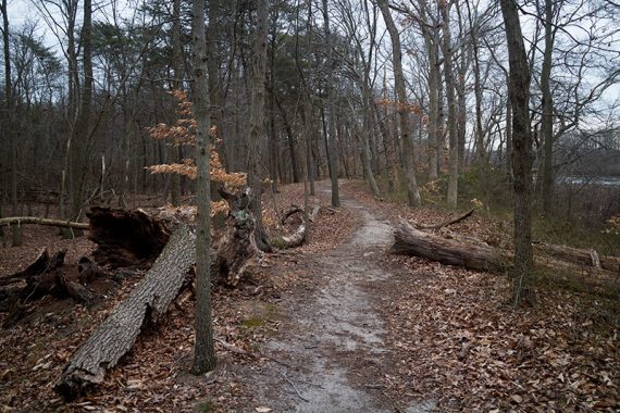
Continue following BLUE.
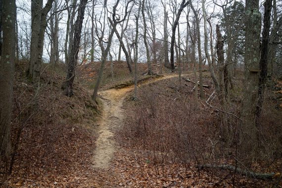
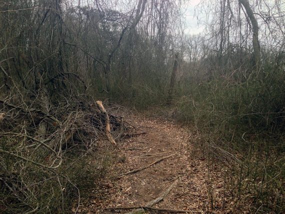
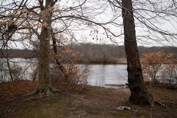
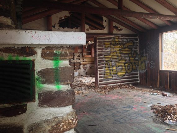
2.0 – Remains of an old house that is covered with graffiti. Be careful if you explore inside, as it’s very deteriorated.
2.2 – Boat Launch. Walk down to the edge for a limited for a view of the creek.
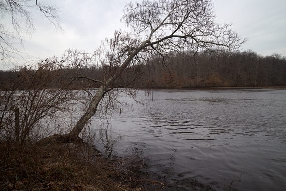
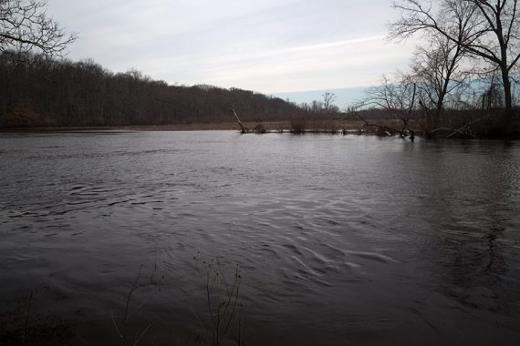
2.6 – Pass the ORANGE trail, and then again in a bit.
/// Option: add the ORANGE loop to extend the hike. ///
2.8 – Turn RIGHT as BLUE follows a gravel road for a bit. [GREEN is marked straight, but is not noted on the map]
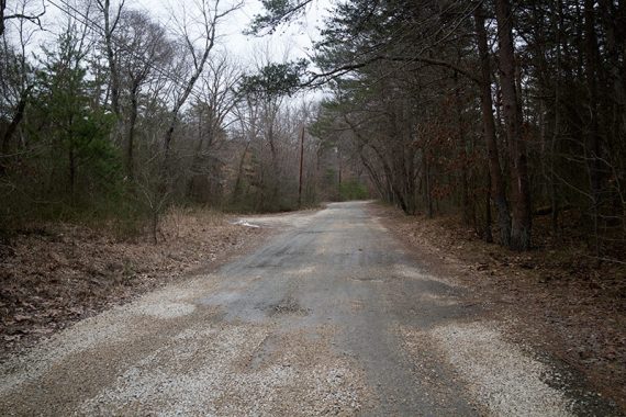
3.0 – Turn LEFT at the kiosk to continue. This is the other parking area.
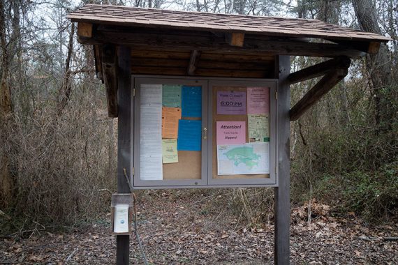
Looking out at the Rancocas Rd entrance/parking.
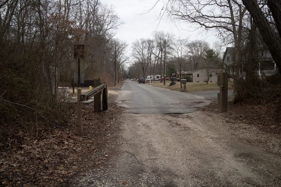
Pass GREEN and WHITE on the way back to the parking lot.
—
Hiked: 2/20/16.