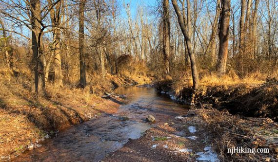
Three short loops surrounding the Ten Mile Run Stream that can be combined or hiked alone.
4.2 miles or less. Easy; not a lot of rocks or major hills. Multiple rock-hop stream crossings might be tricky when the water level is up.
- Shorter: Just do one color loop alone: YELLOW (1 mile), RED (1.03 mile), PURPLE (1.5 mile)
- Nearby: Six Mile Run Reservoir – Red Trail; Six Mile Run – Canal Road; Negri-Nepote Native Grassland Preserve; Bunker Hill; Griggstown Grassland; Sourland Mountain Preserve.
- Nearby: Biking: D&R Canal – Blackwells Mills to Demott Lane; D&R Canal Kayak – Blackwells Mills.
Hike Info:
Our two cents:
OK option for a short hike in central Jersey plus the option to do all three trails or just 1 or 2. Stick to hiking Sundays during hunting season, in addition to detailed park rules there were multiple deer stands.
Updates: 4/2020 – Description improved; added mileage markers, photos, and interactive map. Re-hiked YELLOW and portions of PURPLE and RED in 12/2019.
Map:
Paper maps in the trail kiosk or print one ahead.
Books:
Not in any books we know of.
Parking: N40.44454° W74.57874°
Small dirt lot on Butler Road, Franklin Park, NJ.
Restrooms:
None. Variety of stores if approaching from Rt. 27.
Hike Directions:
Overview: PURPLE loop – RED loop– Briefly back on PURPLE back to lot – Cross Butler Road – YELLOW loop
Note: Two of the three loops leave from the small parking area on Butler Road. RED is picked up a short ways in off of PURPLE.
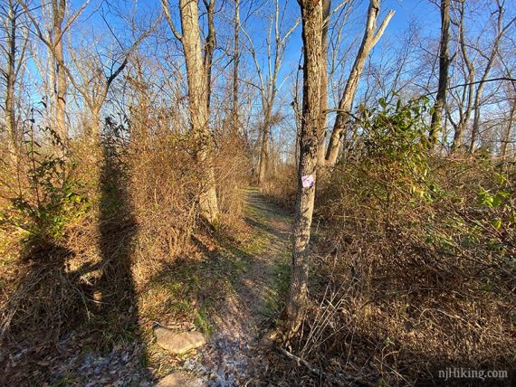
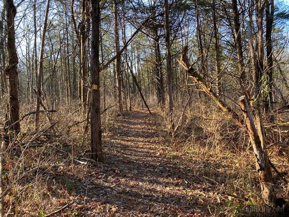
0.0 – Start following PURPLE, passing the turn for RED early on.
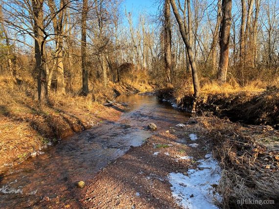
0.2 – Cross Ten Mile Run. In Dec of 2019 (first two photos) this was wider and more difficult than we first hiked here in 2014 (third photo).
The PURPLE trail is an out-and-back so this needs to be crossed twice.
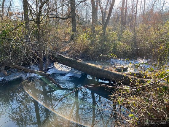
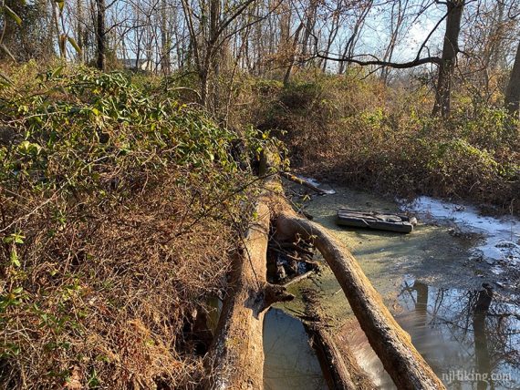
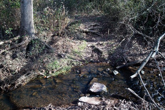
(Since it was freezing out the risk-to-reward ratio wasn’t worth it – especially since this has to be crossed twice – we decided to turn around at this point so for the rest of PURPLE trail route we don’t have updated info.)
0.5 – Continue following PURPLE to where it goes around a small loop. Return on PURPLE, again crossing the stream.
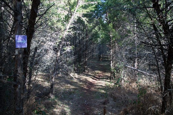
1.4 – Almost back to the parking lot, start following RED.
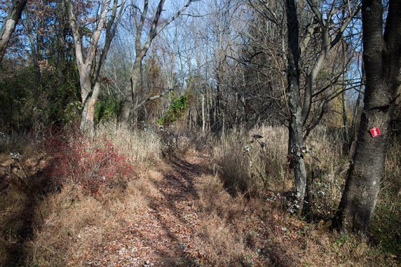
Soon the trail comes to a wide section of the 10 Mile Run.
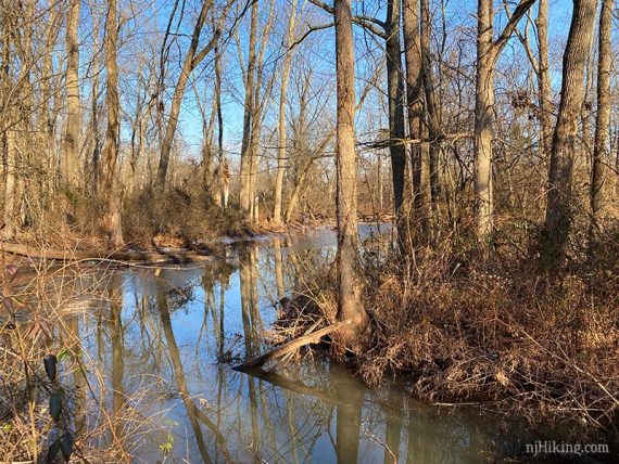
In Dec of 2019 (first photo) this was also more difficult than we first hiked in 2014 (second photo) with rocks to hop across on.
The RED trail is also out-and-back so this needs to be crossed twice.
The biggest rock in the middle of the photo is where the crossing point is, and the trail continues on the left of the photo.
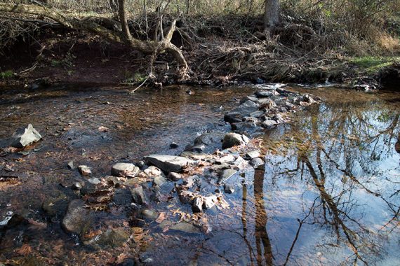
(Again, our risk-to-reward ratio wasn’t worth it as this has to be crossed twice too. So for the rest of RED trail route we don’t have updated info either.)
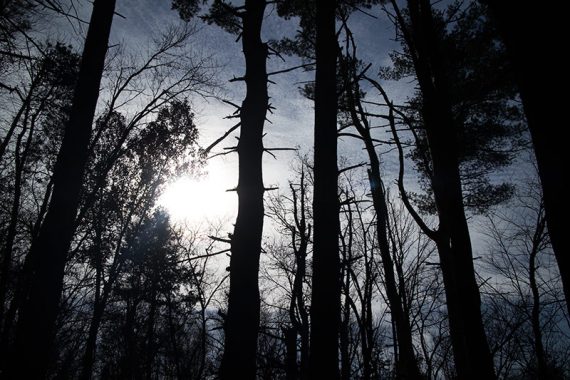
1.7 – Continue on RED as it crosses Butler Road.
2.0 – The trail splits but ends up in the same spot… take either side and follow RED until it dead-ends at Sunset Ave. (no parking area here).
Retrace on RED, taking in a different section of the split if you like. Cross Butler Road again and return to the parking lot.
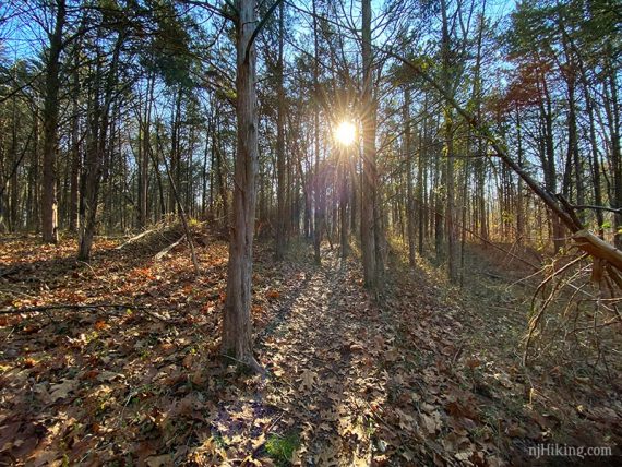
2.9 – Back at the parking lot… cross Butler Road and start following YELLOW.
3.4 – As it nears the edge of a golf course, the trail crosses a wide section of the 10 Mile Run. The bridge in the distance is part of the golf course.
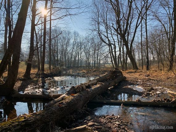
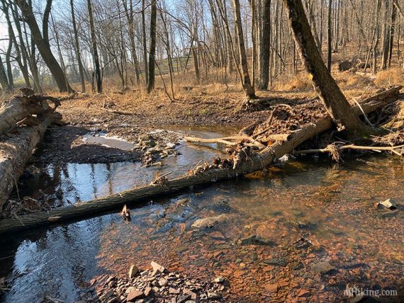
In Dec of 2019 (first photo) this was much different than we first hiked in 2014 (second photo) with rocks to hop across on.
(While this isn’t that hard to cross, it was very cold so why risk it when there was a bridge to use… we bushwhacked over to the golf bridge then bushwhacked back. Not something you’d want to do if people are out golfing.)
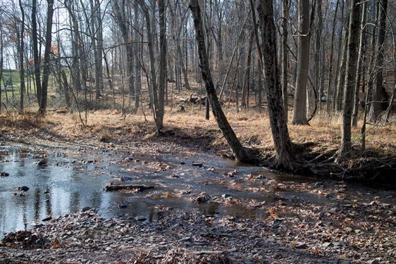
Continue following YELLOW as it heads back until ending at Butler Road.
3.9 – Turn RIGHT and walk a short distance on the side of the road back to the parking lot.
—
Hiked: 12/22/19. Partial PURPLE/RED due to crossings.
Hiked: 11/23/14